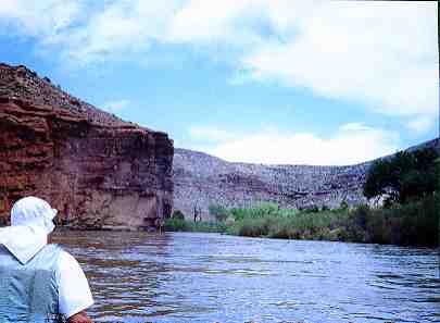
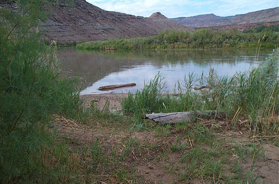
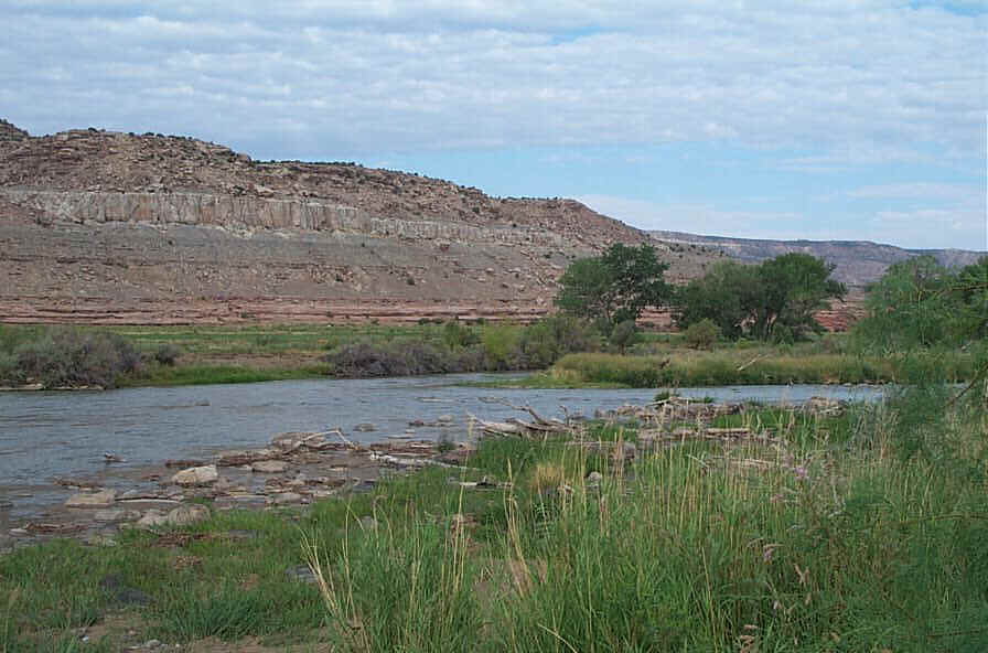
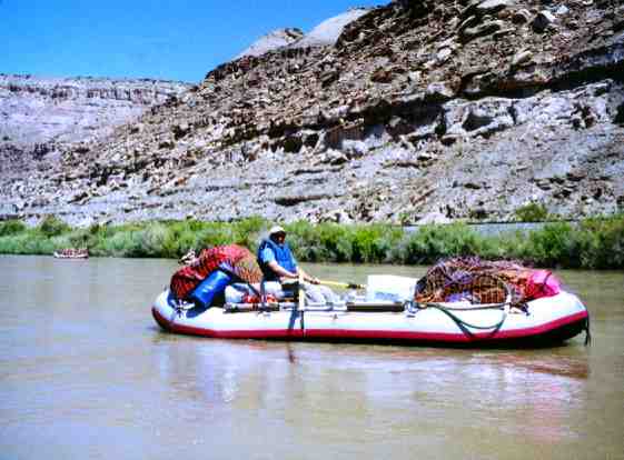
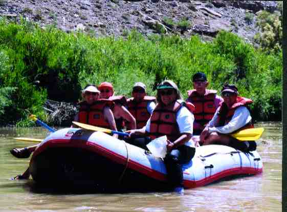
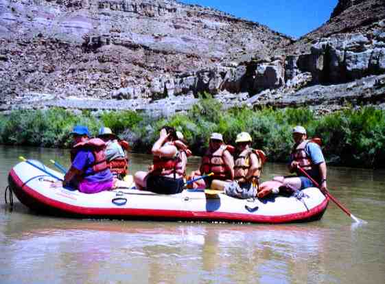
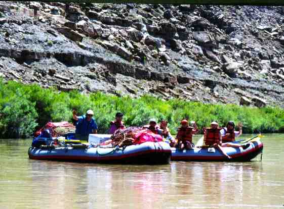
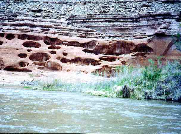
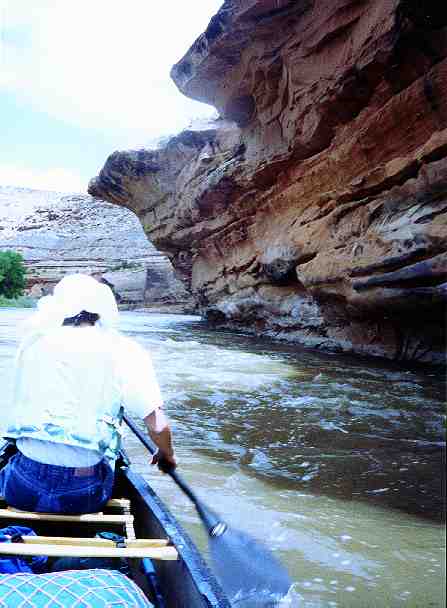
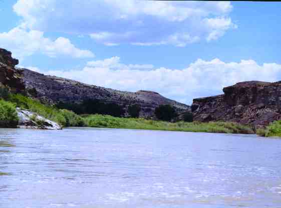
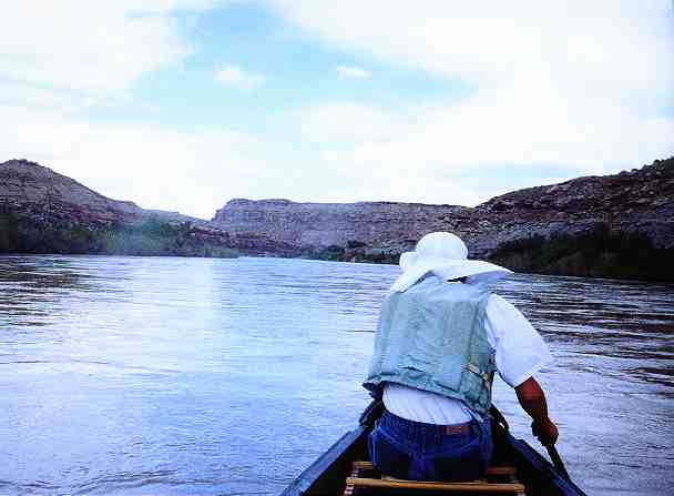
This is a pristine section of river that flows through sandstone canyons for the first half of the run. The river is flat, wide, and slow moving, especially at low water levels. In the second half of this section the sandstone cliffs give way to high desert rolling hills and cliffs.
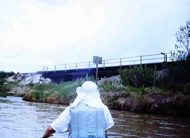
About 19 miles north of Delta on Hwy 50 exit west on Bridgeport Rd. there is now a permanent sign that marks Bridgeport Road. Drive down the Bridgeport Road about three miles to the river. A parking lot next to the railroad will be found. There is an under pass under the railroad at the north side of the parking lot.
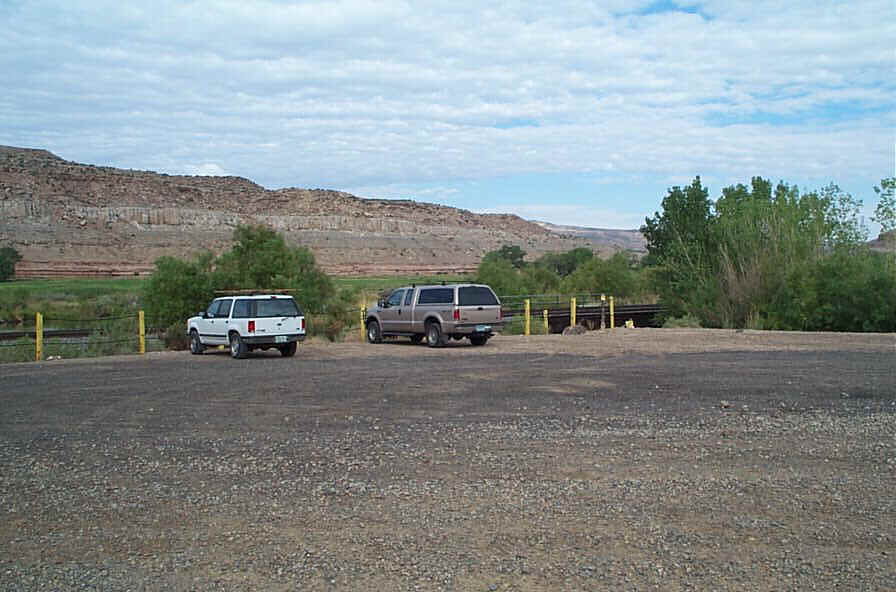


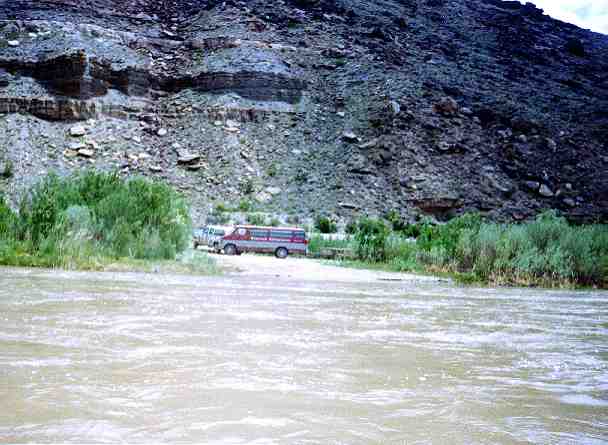
Exit Highway 50 west on Highway 141 near Whitewater. Proceed west about 200 yards then turn left on Desert Road. Follow Desert Rd into the large asphalt area formerly used for exchange of mill tailings from train to truck. Follow painted lines and signs west to the river. Vandalism of cars left here overnight has been a persistent problem. Here is a solution that appeared on the Rocky Mountain Canoe Club discussion site.
11.5 miles
Class I