White River Trip
70 miles
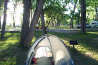
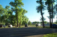
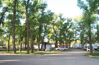
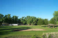
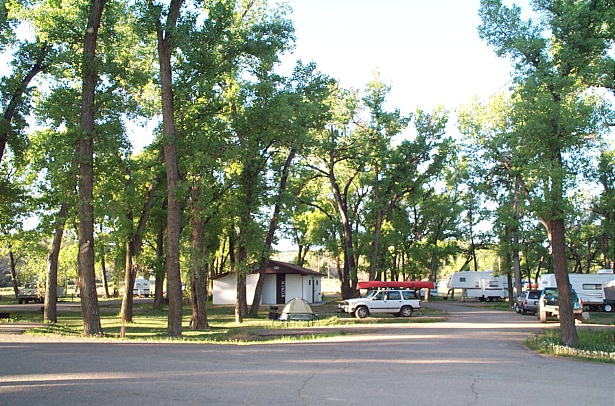
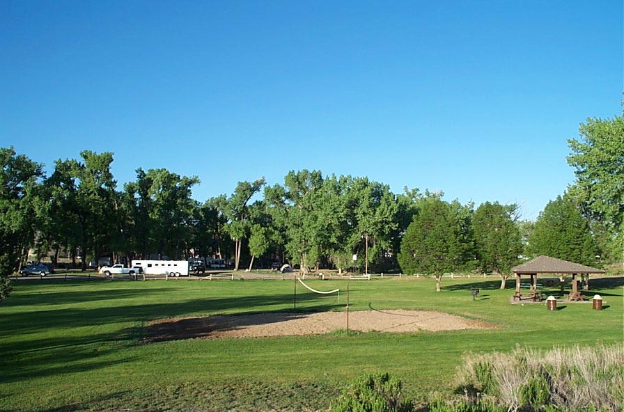
The Rocky Mountain Canoe Club ran a Memorial Day weekend trip from Rangely (river mile 94) to the BLM takeout (river mile 24). The group met at 8:00 AM, May 24, 2003, at the Rangely Park District's "Overnight Camper Park". Tent camping was $8.00 and showers were available.
(Click on images to enlarge)
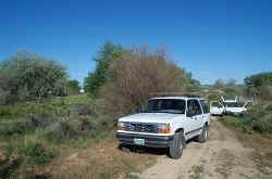
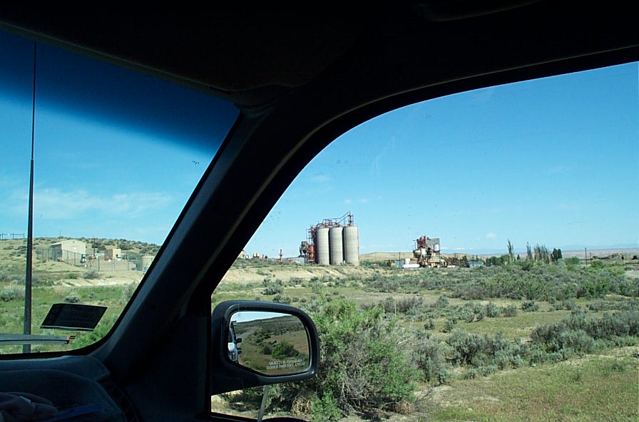
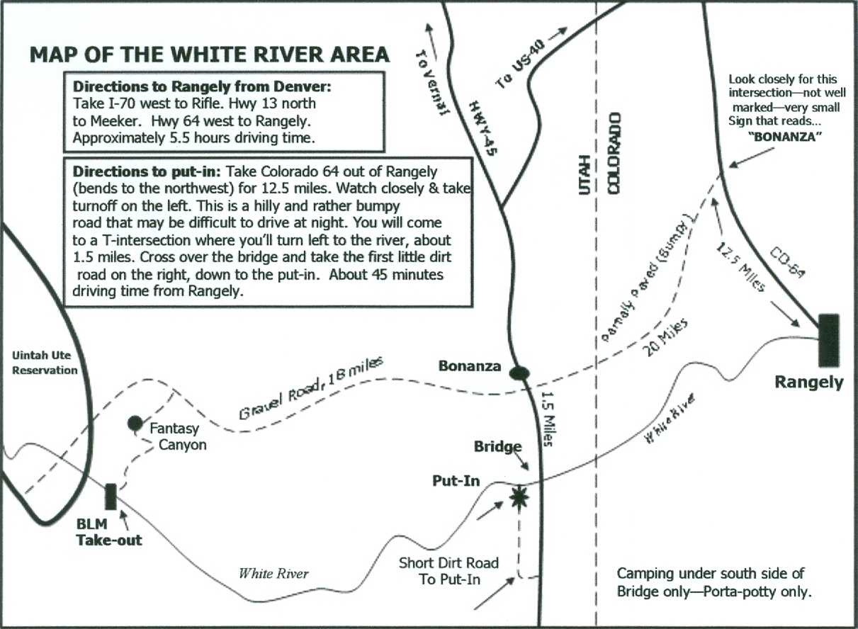
Jeff Oxenford, leader of the other RMCC trip this weekend that started at Bonanza Bridge, helped me with these directions and created the map. The shuttle route from Rangely was highway 64 northwest for 12.5 miles to the cutoff to Bonanza, then 20 miles west to Bonanza. From Bonanza there were BLM "River Access" signs on 18 miles of dirt road to the takeout. The shuttle takes 3 to 4 hours. Map Here are the directions from the Bonanza Bridge put in Jeff's own words:
From Bonanza Bridge river access to Enron BLM takeout by Jeff Oxenford
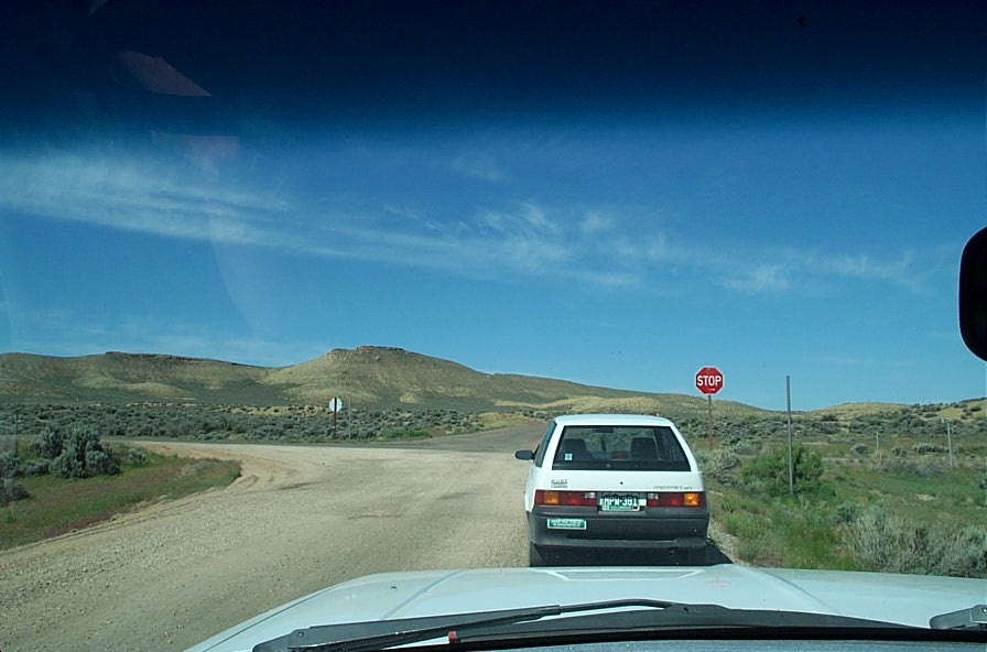
Finding the take out is the most challenging part of this trip. There are a large number of intersecting roads for gas and oil wells. The route is marked fairly well with river access signs. The trip out is more difficult because all you see is the back of these signs. Take careful note of all turns and keep track of your mileage. Below are notes and mileage from my last trip in
From Bonanza Bridge put in – Make a left and go back across the bridge
Make left approx. 2 miles on a partially paved road (to the right goes to Rangely). I did not clock this mileage, so this one is approximate.
Go 4.3 miles and take the right fork
8.3 miles take the left fork
3.0 miles left turn (look at this spot carefully, difficult to see on the way back)
2.2 miles right turn
1.7 miles to the take out.

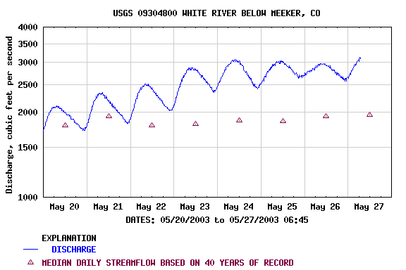
The river was flowing at about 2,000 cfs and rising.

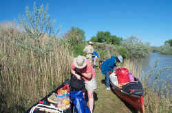
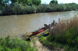
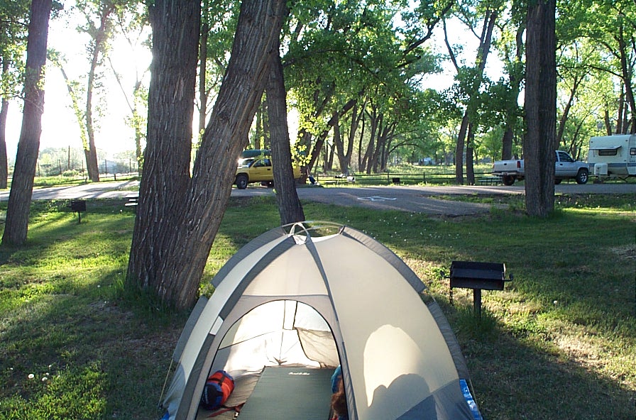
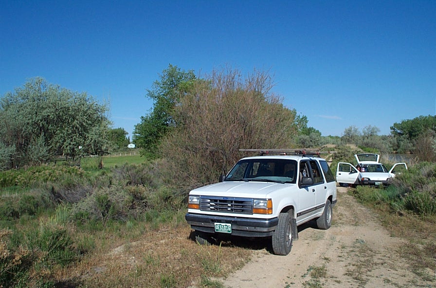
The launch site at the Rangely Overnight Camper Park is slightly upstream of the park. We were able to drive on the dike so we didn't have to carry our boats and gear far. Our trip leader, Dave Allured, is to be credited for finding this nice launch site and, by the way, for putting together an excellent trip.
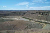
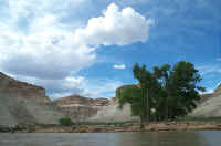
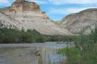
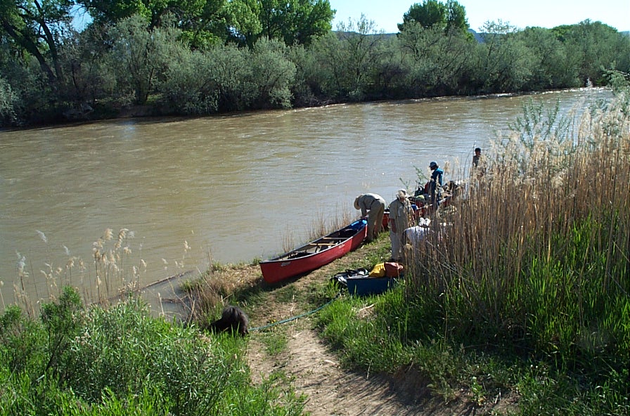
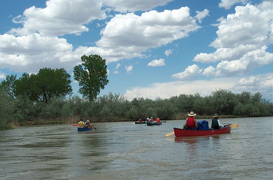
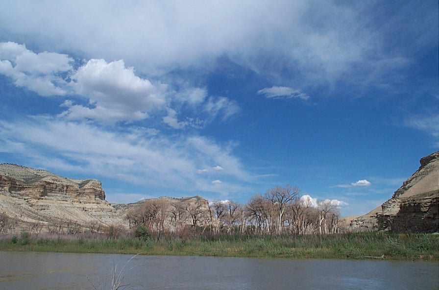
The first twenty miles is through ranchland.


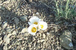
Above photo by Ken & Audeen Faller
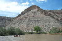
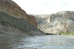
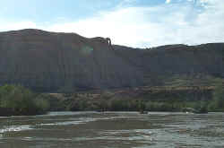
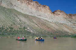
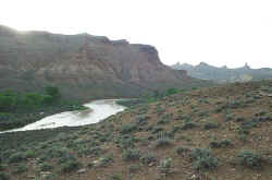
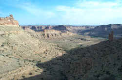
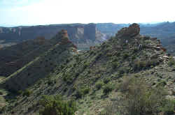
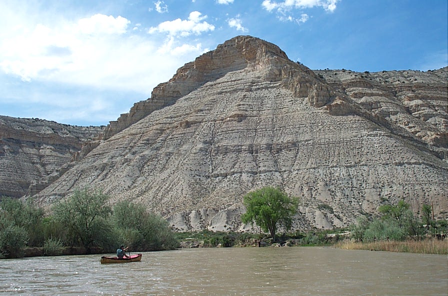
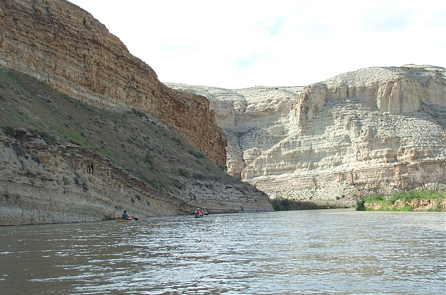
Ranchland gives way to hills
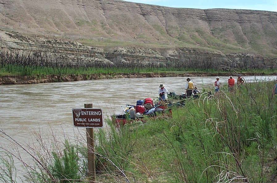
Respect private property. Watch for "Entering Public Lands" and "Leaving public Lands" signs

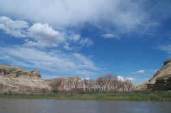
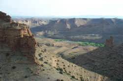
Fire destroyed this Cottonwood Grove. There were many of these burned groves.
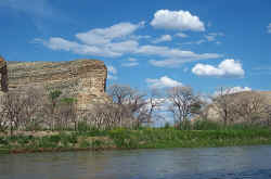
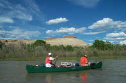
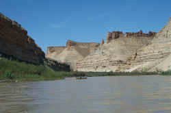
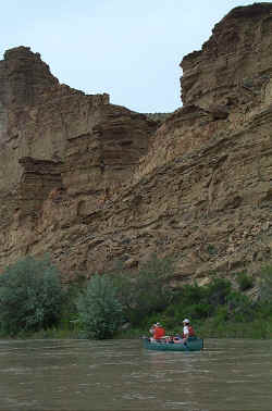
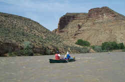
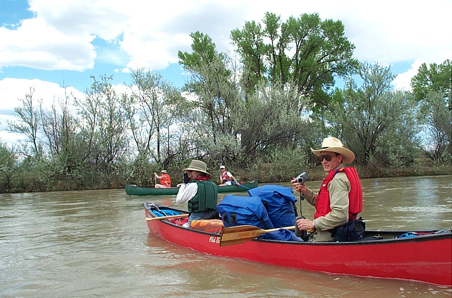
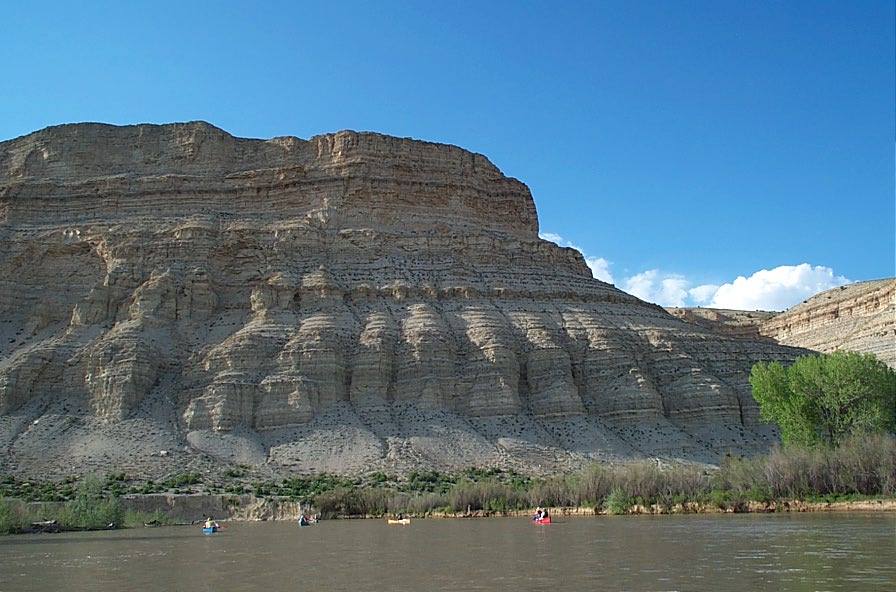
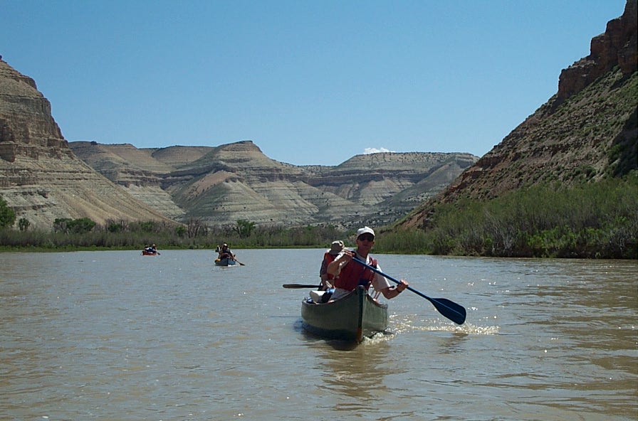
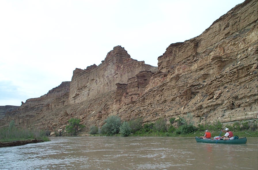
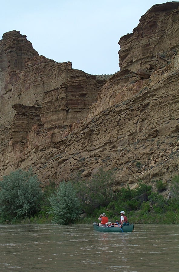
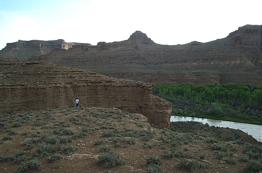
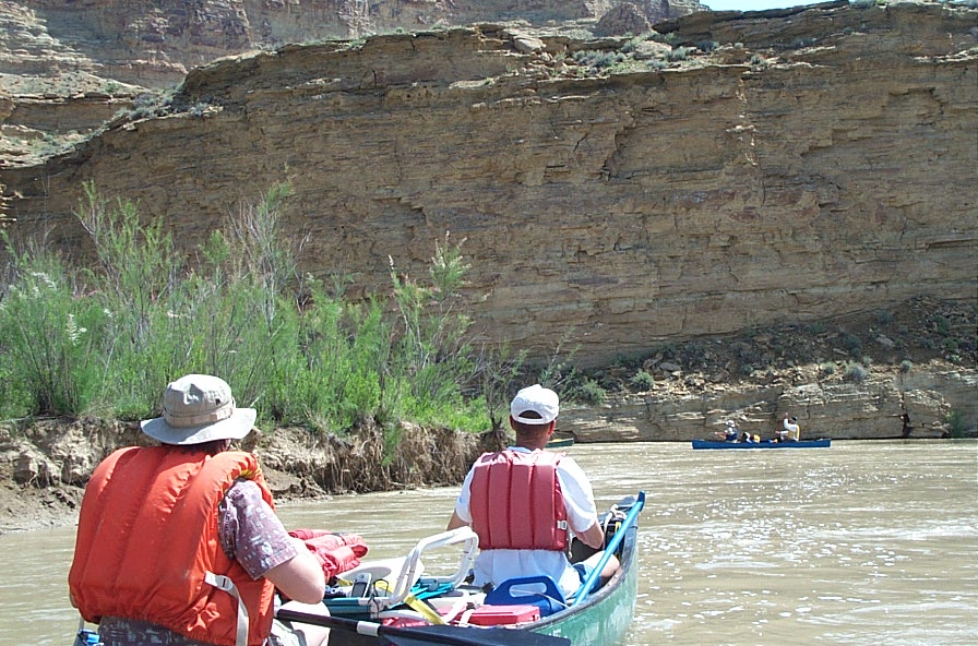
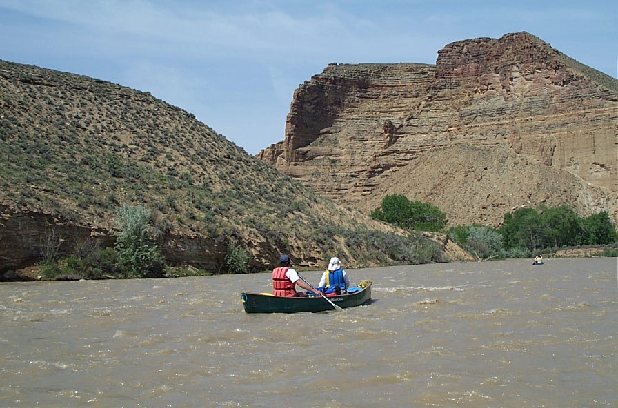
Continuing down the river.


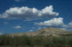
Bald Eagles
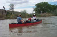
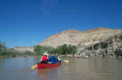
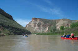
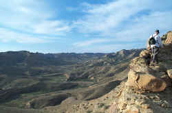
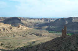
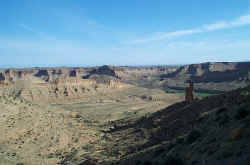
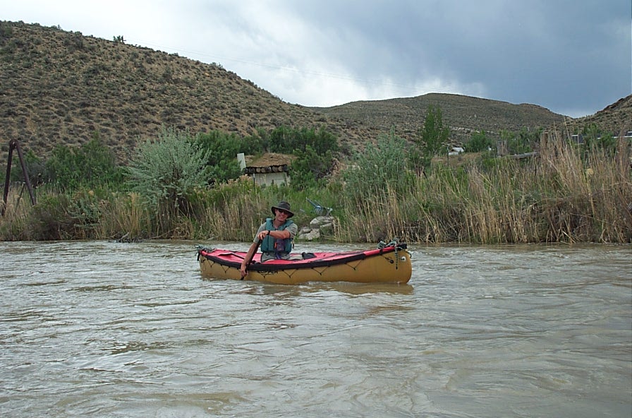
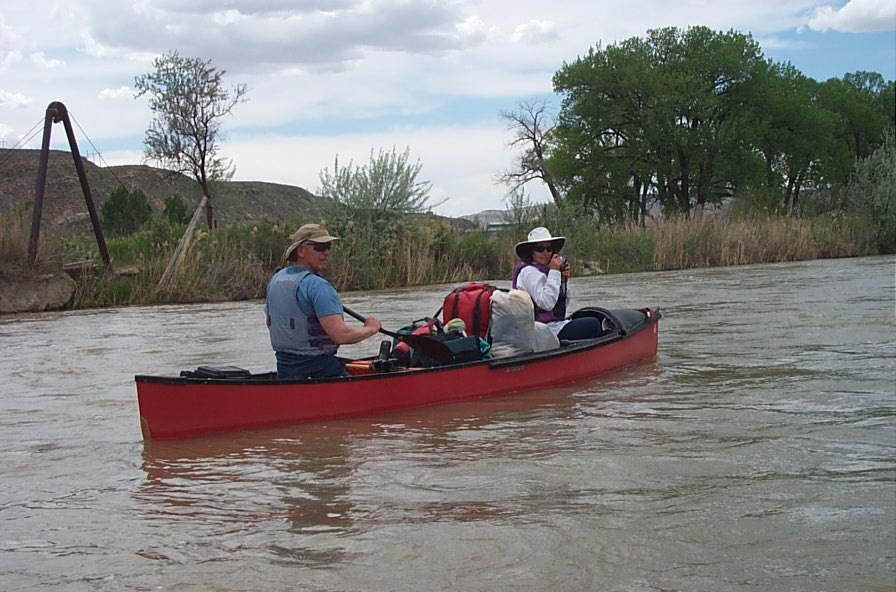
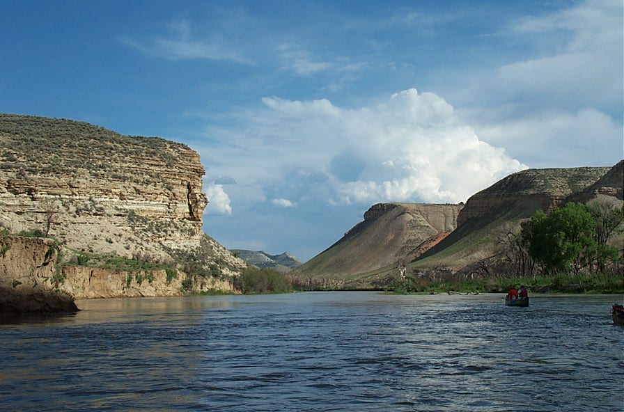
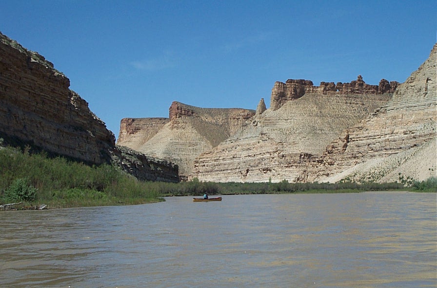
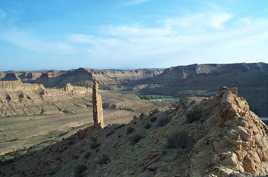
Onward

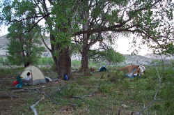
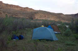
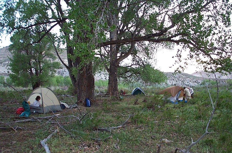
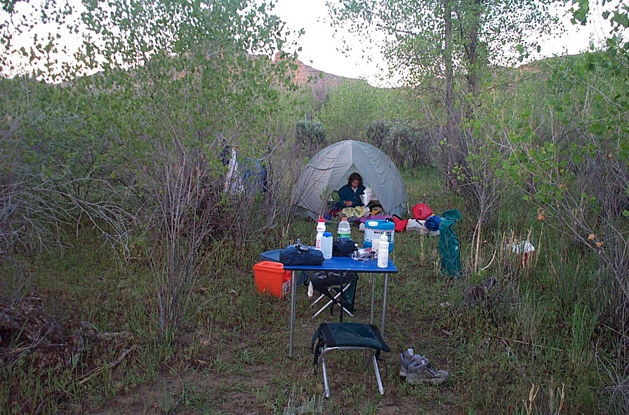
Making camp near the Colorado/Utah border at mile 78 about 16 miles downstream of Rangely
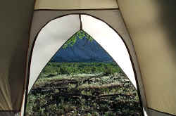
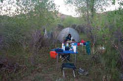
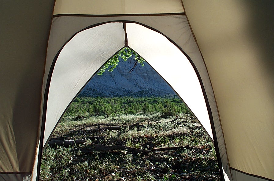
Morning is just outside the tent door
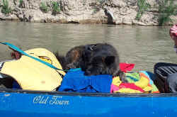
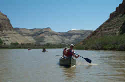
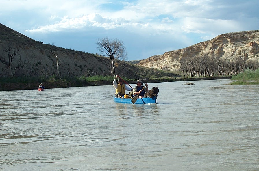
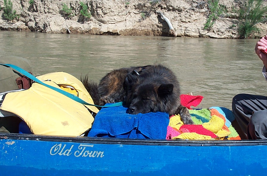
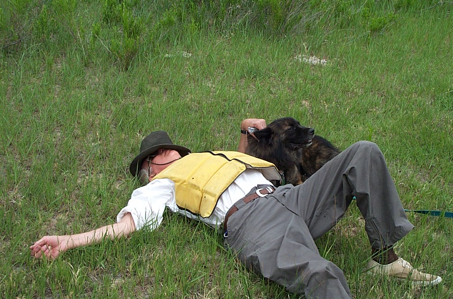
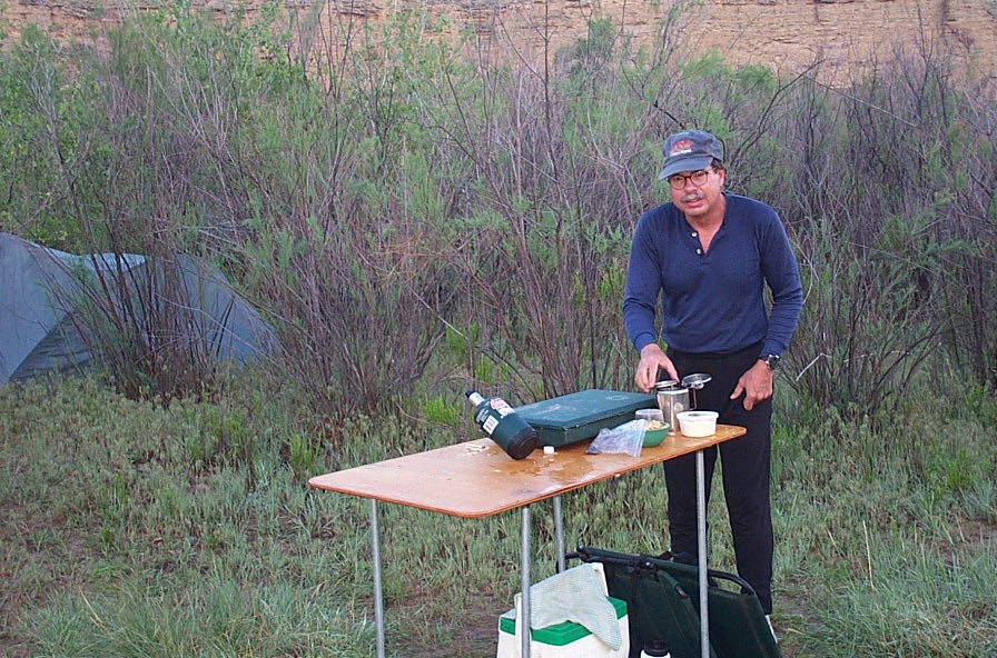
Underway again, but Rocky is still sleepy
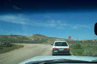
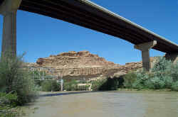
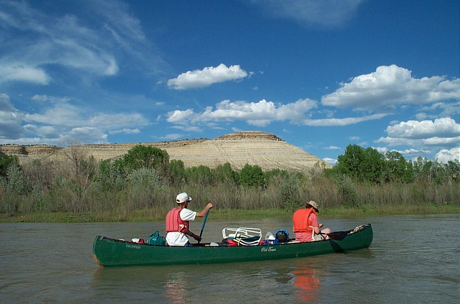
Lunch at Bonanza Bridge
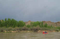
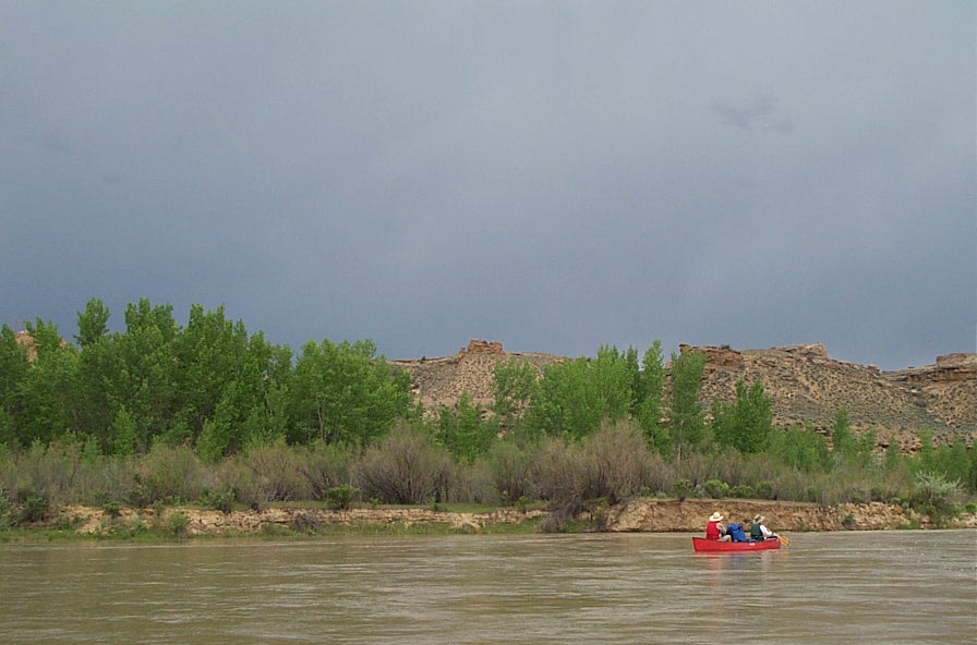
The sky darkens as a thunderhead approaches
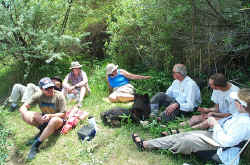
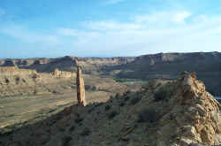
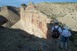
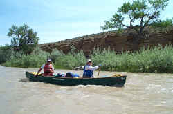
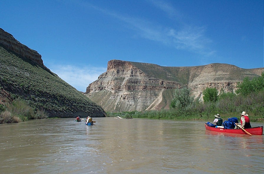
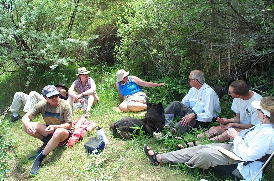
Time for a break

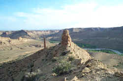
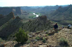
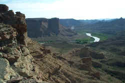
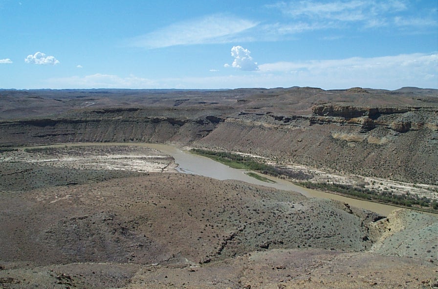
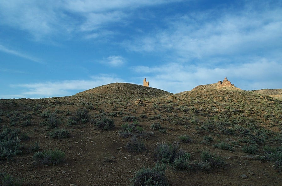
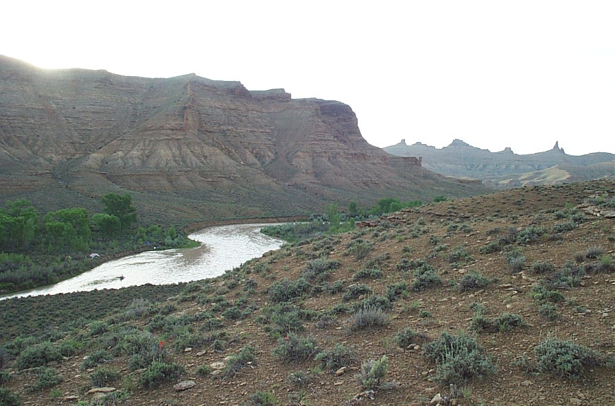
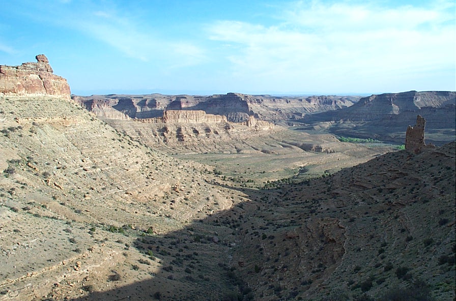
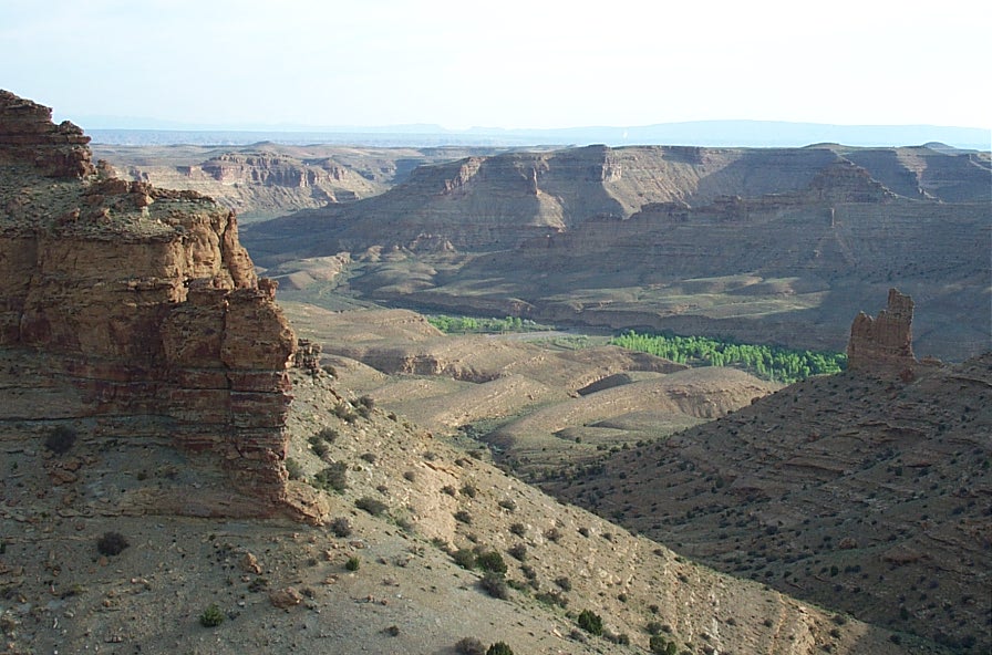
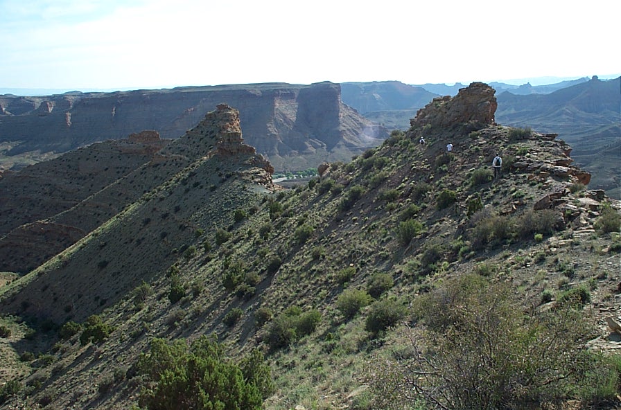
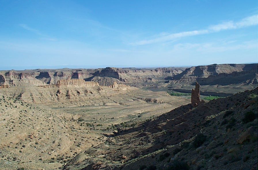
The west side of the bowknot heading north

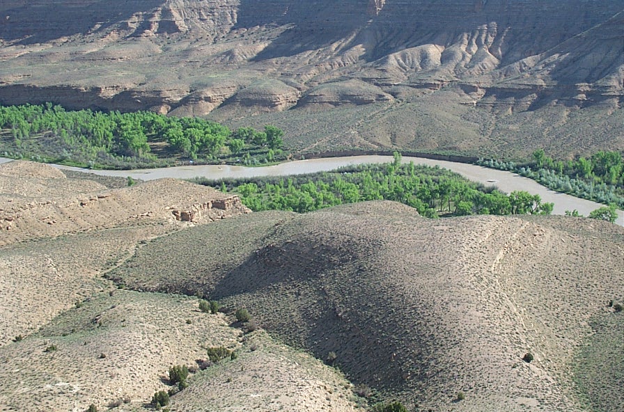
Morning at camp 2 near Goblin City Trailhead. It rained in the evening.
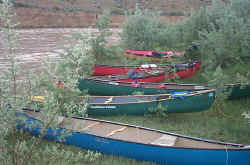

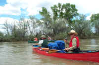
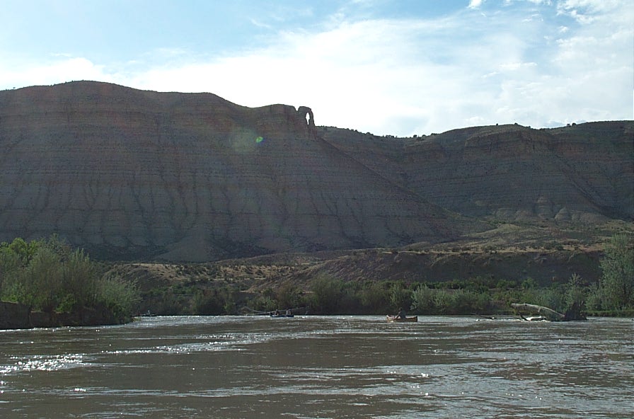
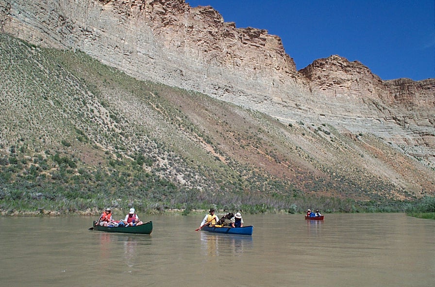
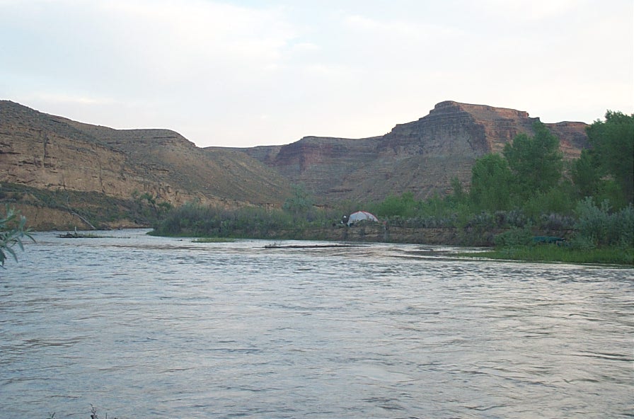
Another Rocky Mountain Canoe Club trip started at Bonanza bridge the same day we started from Rangely. After we made camp we noticed that they were camped across the river from us.

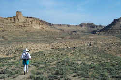
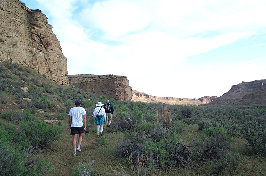
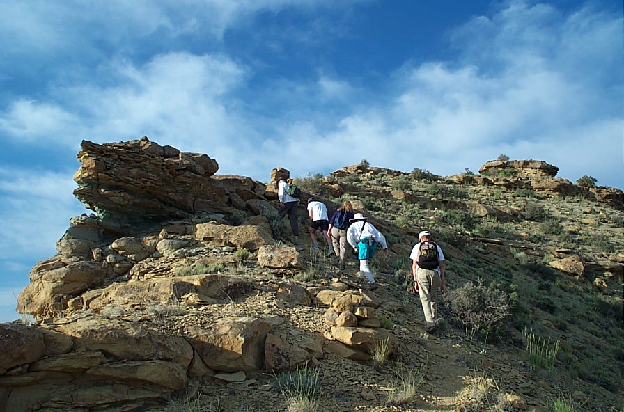
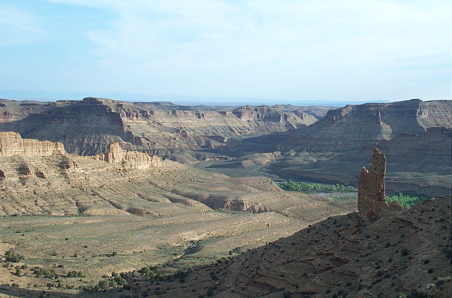
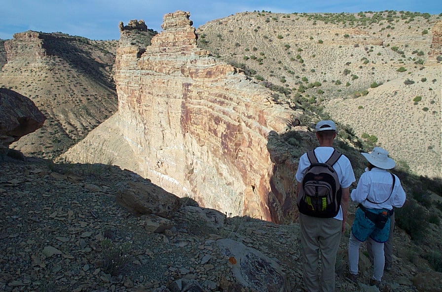
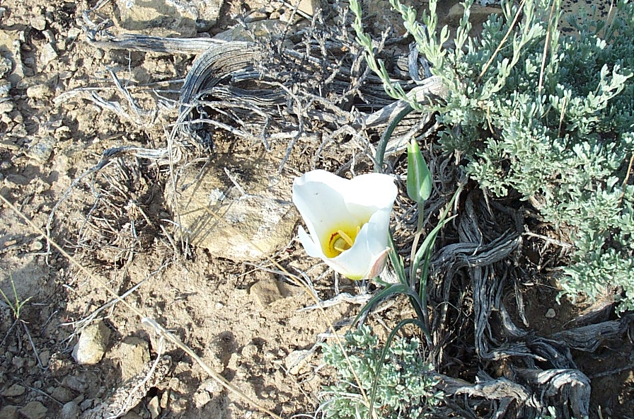
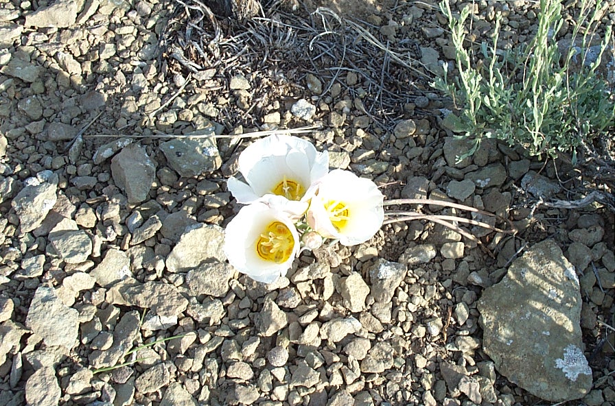
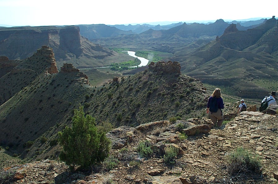
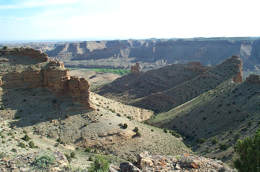
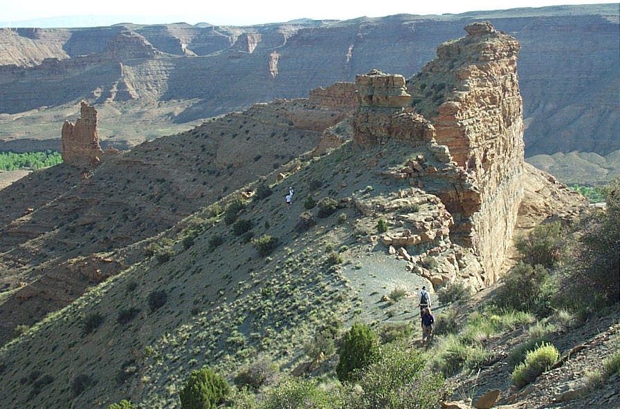
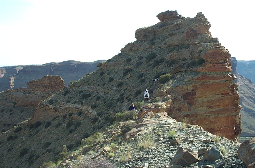
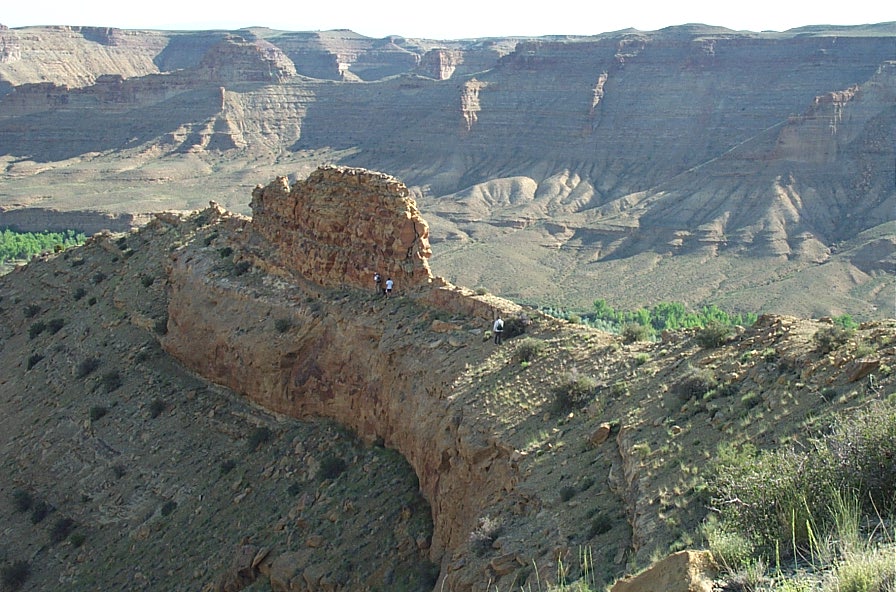
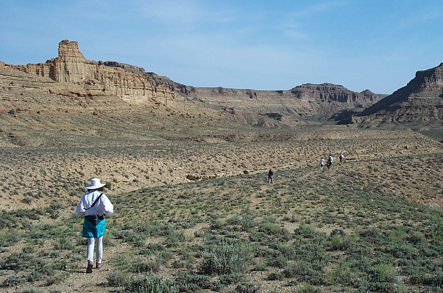
We begin the hike up the Goblin City Trail
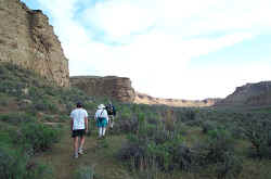


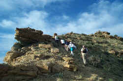
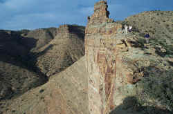
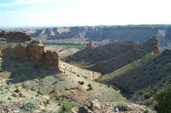


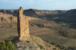
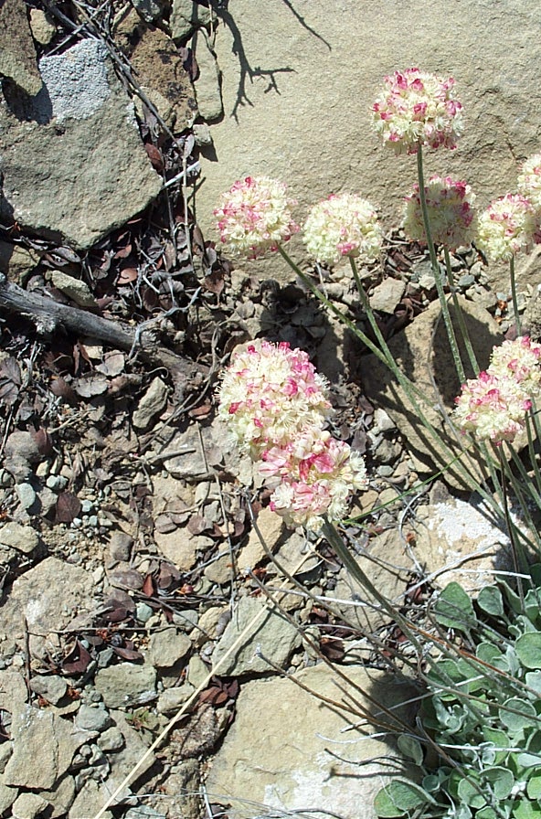
Above photo by Ken and Audeen Faller
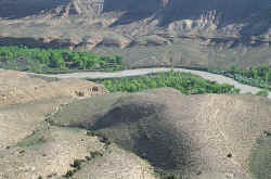
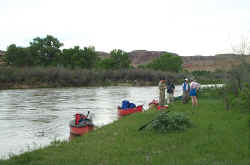
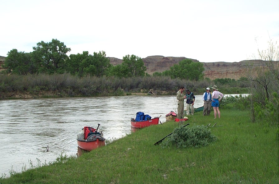
Time to get back on the river and head to the takeout

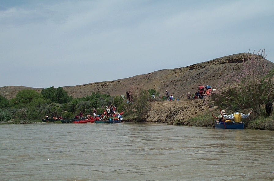
Crowd scene at the takeout. Seems we arrived at the takeout at the same time as every other group on the river.

HOME


