Here's a
short video of canoeing on Trappers Lake
in Microsoft's wmv format. I tried using YouTube but it came out
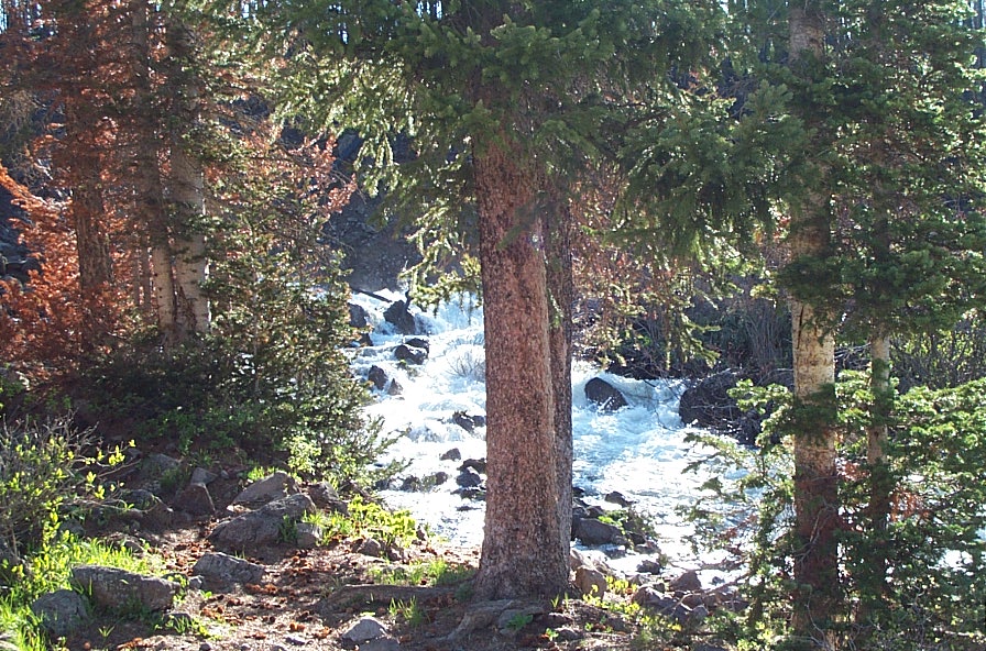
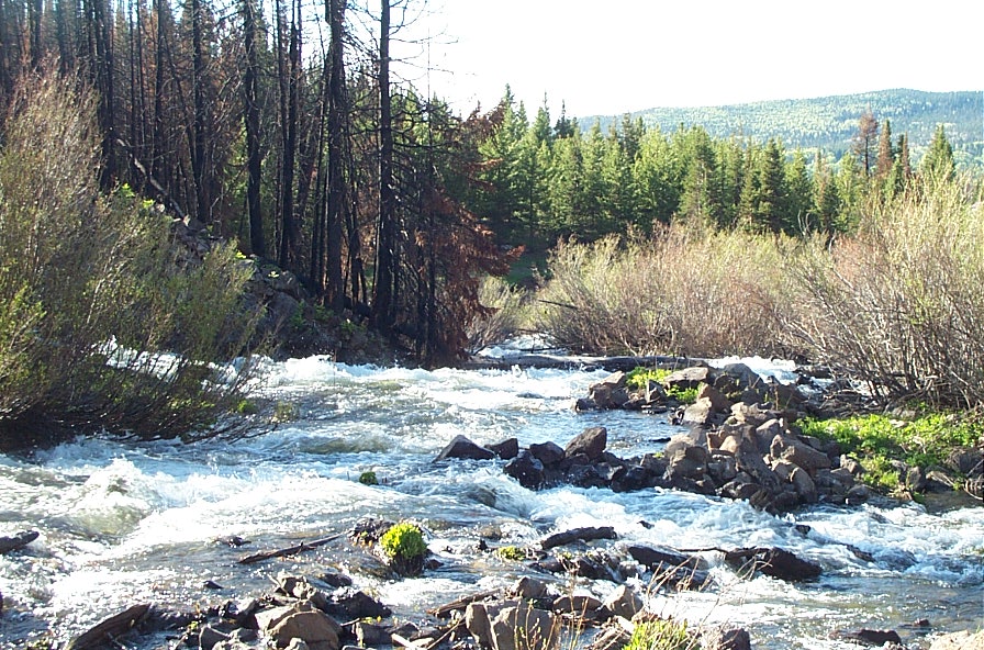
jerky. Don't know what happened. Below are two
stills of the north fork as it comes out of the lake. The
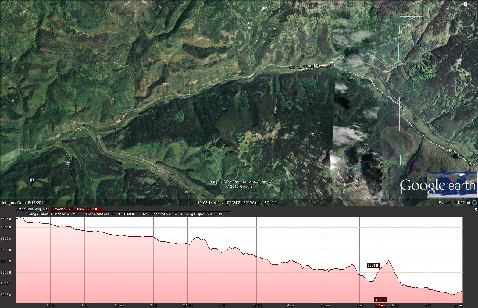
third image is from Google Earth. It shows the elevation profile
of the first 4 miles. I believe this is accurate. Notice
that in the places where my sloppily drawn line comes out of the creek
and up the bank
the graph shows the elevation gain. I did some checking of
elevations
at locations where signs are posted showing the elevations and Google
was spot on.
After the first four miles of descent it looks like it mellows out to
100 feet per mile for the next few miles. Then it mellows
slightly more until the confluence is reached. I didn't include
the Google Earth images for the sections below the first 4 miles.