Green River

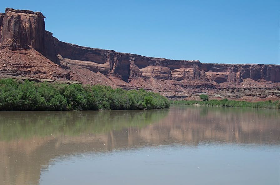
LABYRINTH CANYON - Green River State Park to Mineral Bottom

oct29u1.jpg (19253 bytes)

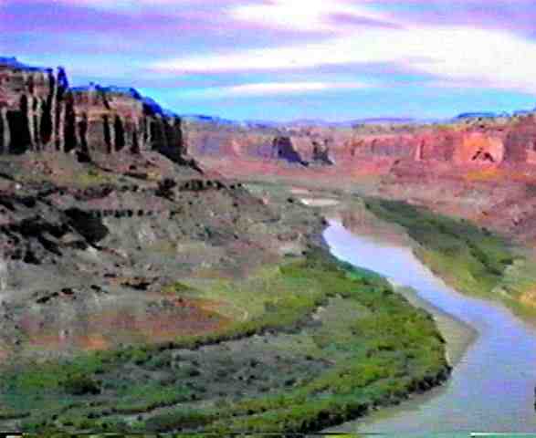
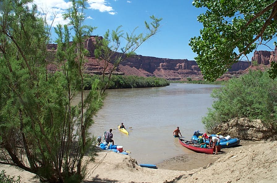
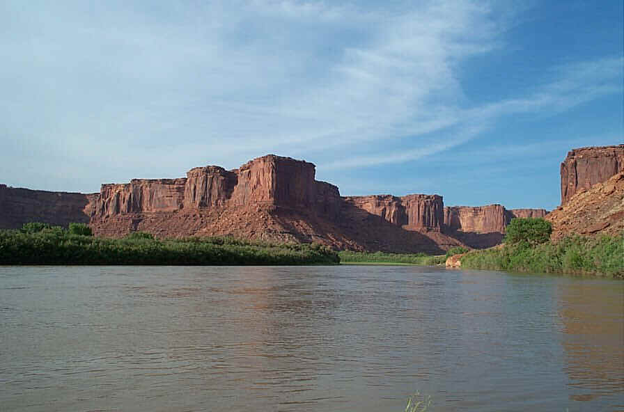
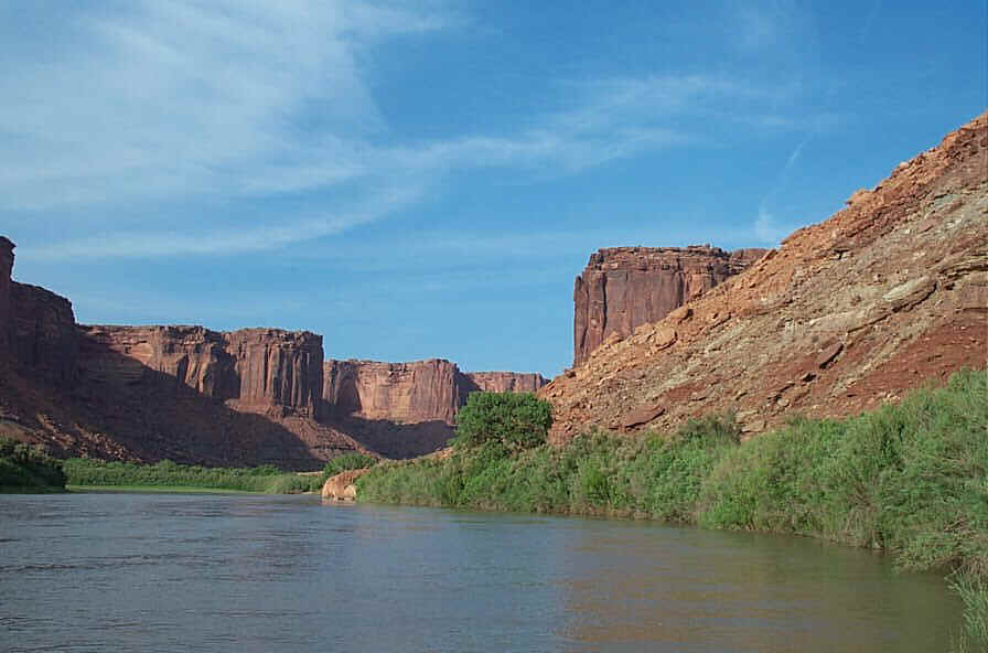
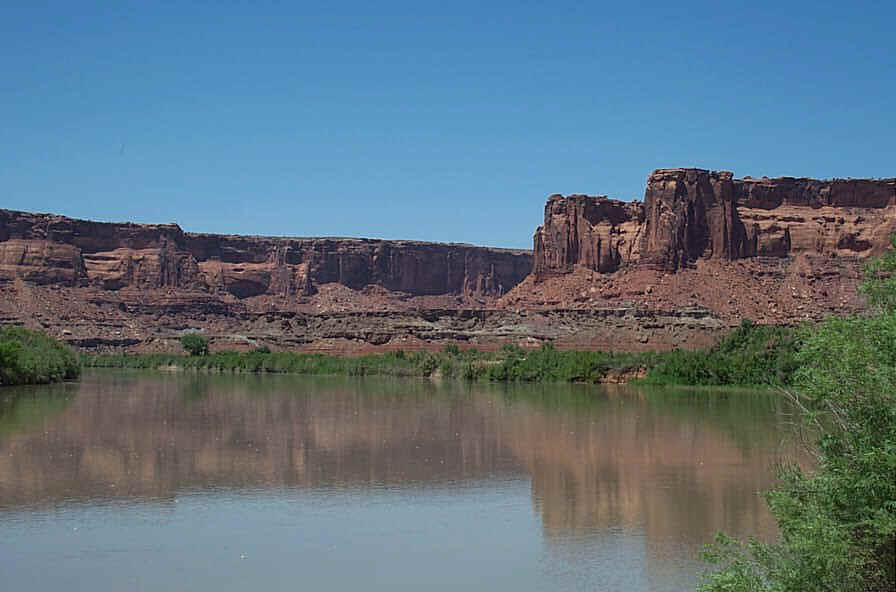
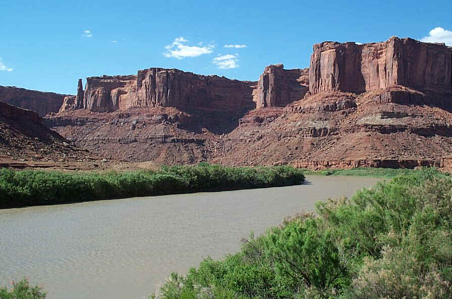
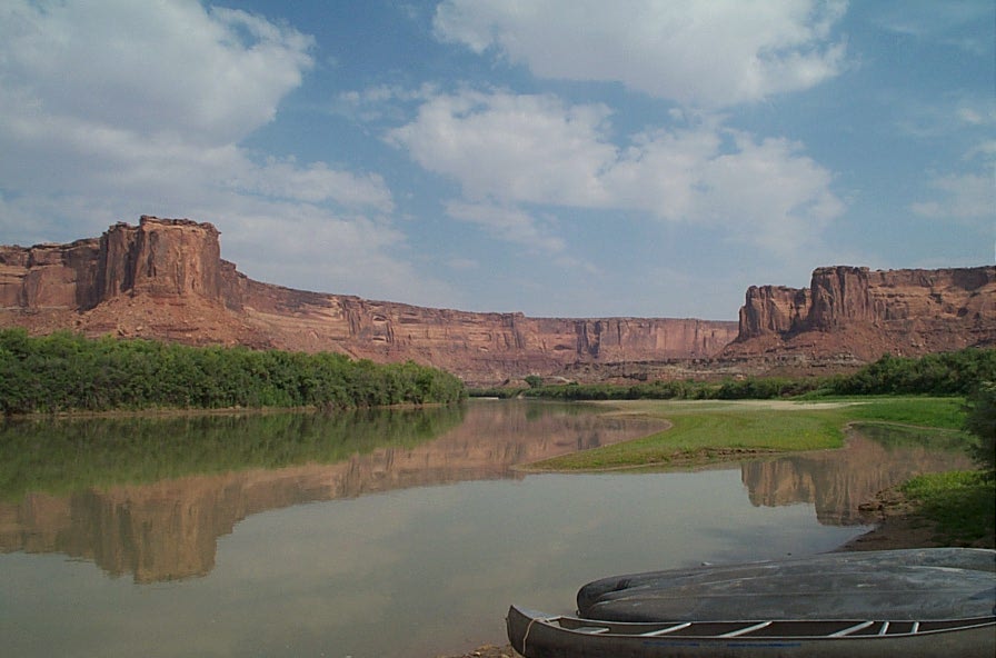
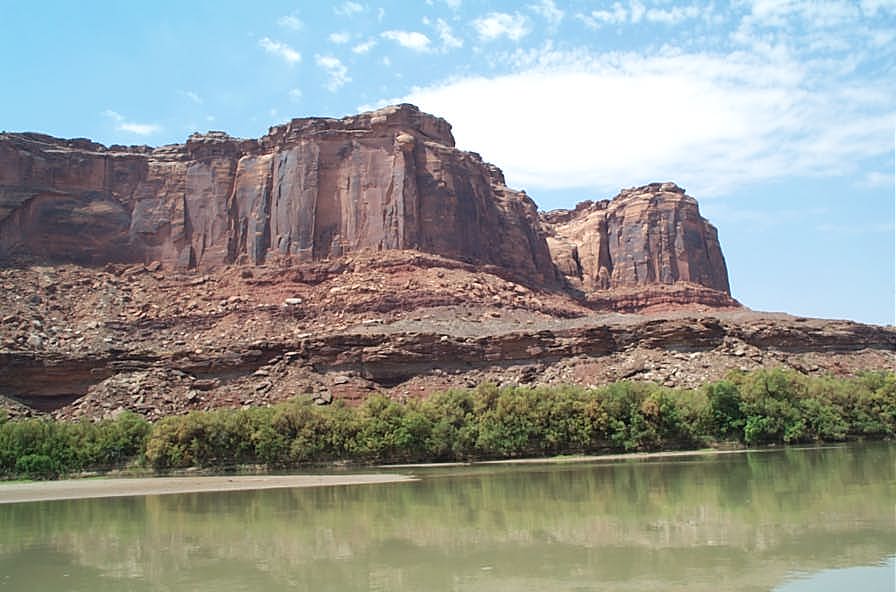
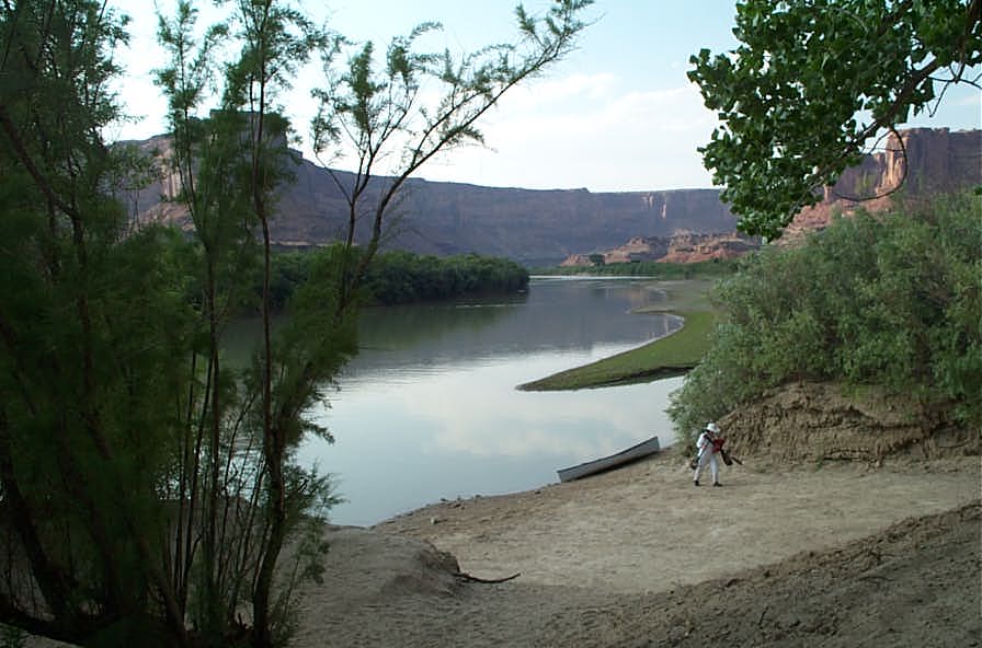
Here are some pictures of one section of the Green River in Utah.  This 70 mile section of the river is all flat Class I water.  It can be done easily in three days, but most paddlers prefer to take five days to do the trip.  The first third of the river is in ranch land and the next two-thirds are in deep canyon.  There are numerous places to camp which can be identified by trails leading from the river up the bank.   If you can get a copy of Bill and Buzz Belknap Canyonlands River Guide, get it and take it with you because it points out all of the interesting features.  The put-in, about 100 miles west of Grand Junction, CO via I-70, is at Green River State Park and the take-out is at Mineral Bottom.  Permits are now required, but they are free and available at Green River State Park. Stay away from this section of the river on Memorial Day because that is when the "Friendship Cruise" brings about 500 high powered speed boats to the river.  Also, on spring trips beware of the spring winds which can ground parties for a day or more until things calm down.  Also, in the spring the river is high and floods some of the best camping places.

BLM website for this section of river (including Permit Information)

Current flow of Green River at town of Green River, Utah

Marek Uliasz account of Green River Trip Aug 24, 25, 2002

Pictures by Marci and Jerry of Green River Trip August 24 and 25, 2002

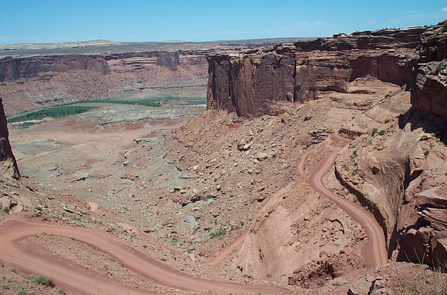
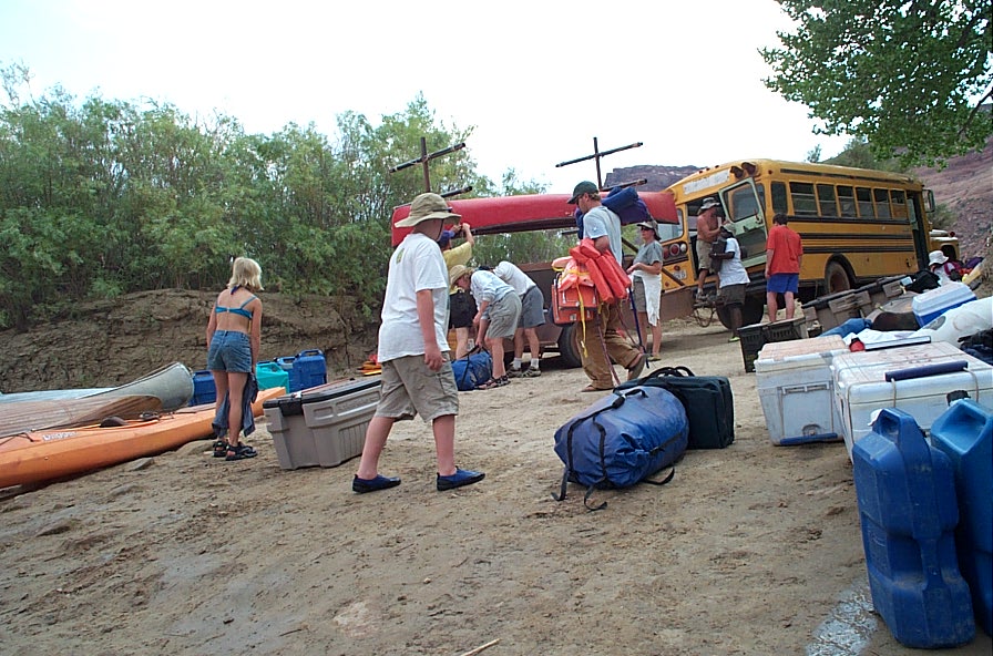
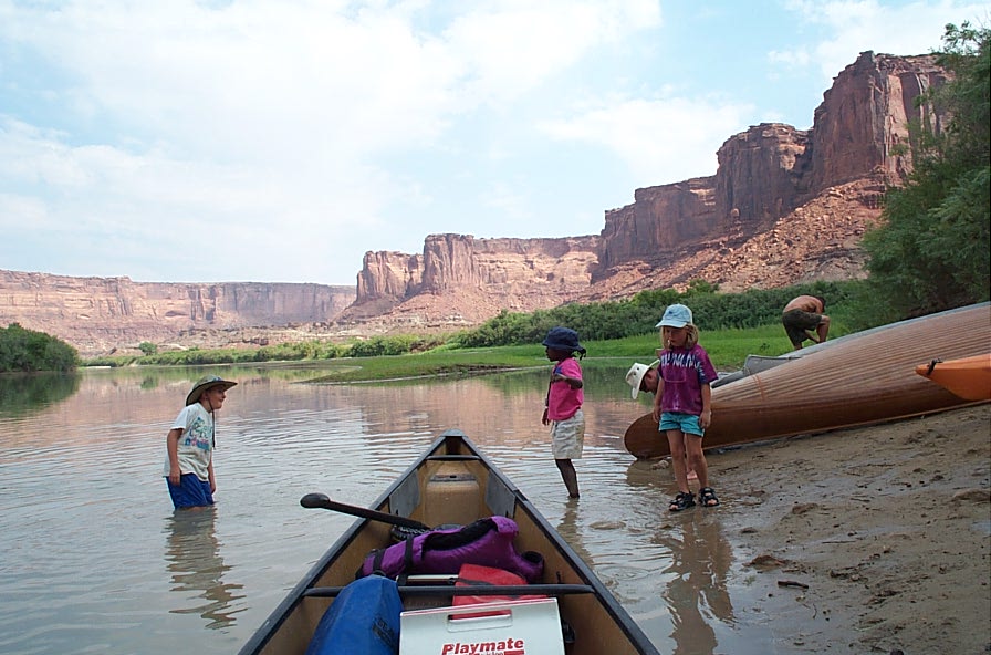
Road to Mineral Bottom, May 2002. (It's in good condition.) Mineral Bottom Boat Ramp, and typical river scenes

MineralBottom6-1-02 156.jpg (98302 bytes)    MineralBottom6-1-02 214.jpg (131069 bytes)    MineralBottom6-1-02 249.jpg (65535 bytes)    MineralBottom6-1-02 252.jpg (65535 bytes)    MineralBottom6-1-02 195.jpg (65535 bytes)    MineralBottom6-1-02 274.jpg (65535 bytes)   

MineralBottom6-1-02 194.jpg (65535 bytes)    MineralBottom6-1-02 238.jpg (98302 bytes)    MineralBottom6-1-02 275.jpg (65535 bytes)    MineralBottom6-1-02 271.jpg (65535 bytes)   

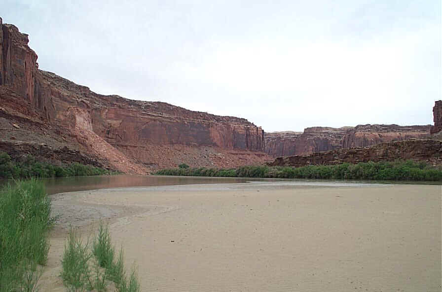
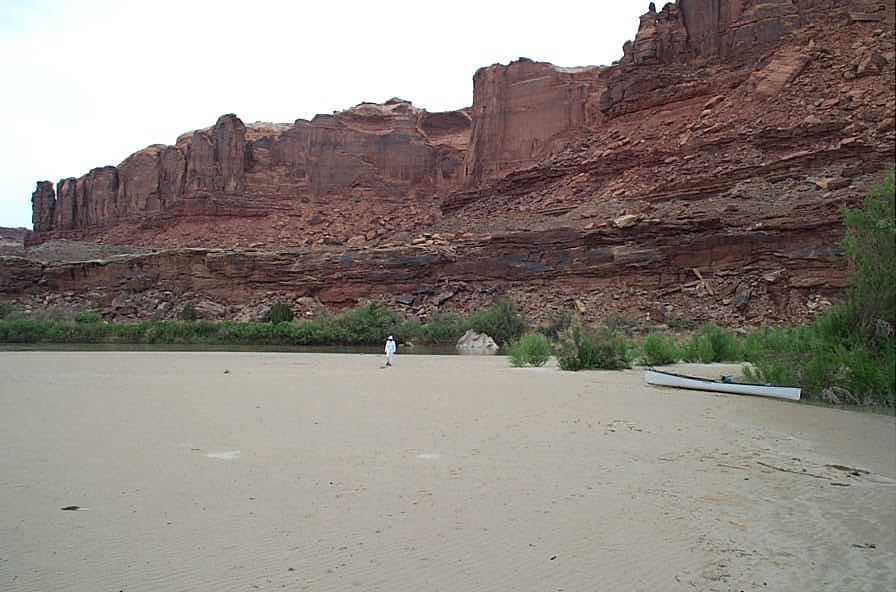
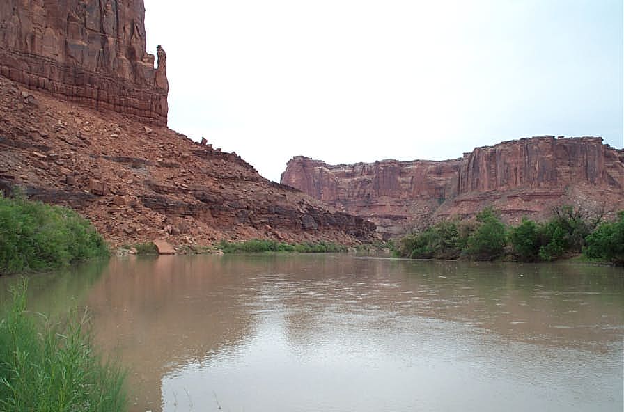
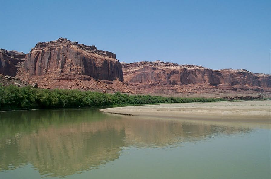
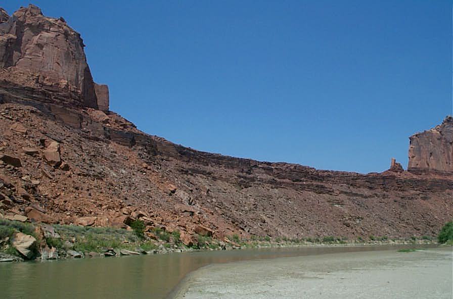
Pictures made August 18, 2002, flow 650 cfs on trip from Mineral Bottom to the Bowknot 11 miles upstream and back.  Average speed upstream 3.3 mph.  Average speed downstream 5.4 mph.  Temp 102 degrees.

MineralBottom8-18-02Marci 001.jpg (163329 bytes)    MineralBottom8-18-02Marci 003.jpg (118142 bytes)    MineralBottom8-18-02Jerry 001.jpg (78218 bytes)    MineralBottom8-18-02Jerry 014.jpg (71100 bytes)    MineralBottom8-18-02Jerry 020.jpg (49464 bytes)    MineralBottom8-18-02Jerry 032.jpg (47418 bytes)    MineralBottom8-18-02Jerry 034.jpg (57789 bytes)    MineralBottom8-18-02Jerry 040.jpg (71243 bytes)

Pictures made from 1984 video camera:

(Click on any one)

GR_launchenh.jpg (15691 bytes)             gra.jpg (23385 bytes)        greencliff.jpg (50924 bytes)         greenmorncp.jpg (38109 bytes)                 o29cenh.jpg (21907 bytes)

            o29h.jpg (43291 bytes)                codygr3.jpg (39643 bytes)                  o29o.jpg (36321 bytes)                     o29r.jpg (46279 bytes)

oct29s.jpg (60627 bytes)        grbeachenh.jpg (23394 bytes)             oct31b.jpg (39315 bytes)        o29e.jpg (35887 bytes)                 gr4enh.jpg (16111 bytes)

                gr12.jpg (46824 bytes)        gr2enh.jpg (19263 bytes)             gr7.jpg (48443 bytes)                         o29j.jpg (43390 bytes)

cataract1enh.jpg (23422 bytes)             cataract2enh.jpg (26824 bytes)                          cataract4.jpg (23828 bytes)           codygr7.jpg (18742 bytes)                           

o29b.jpg (28381 bytes)                 campfire.JPG (40300 bytes)

HOME