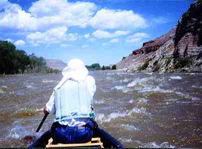
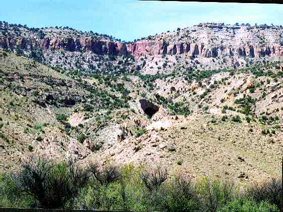
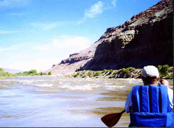
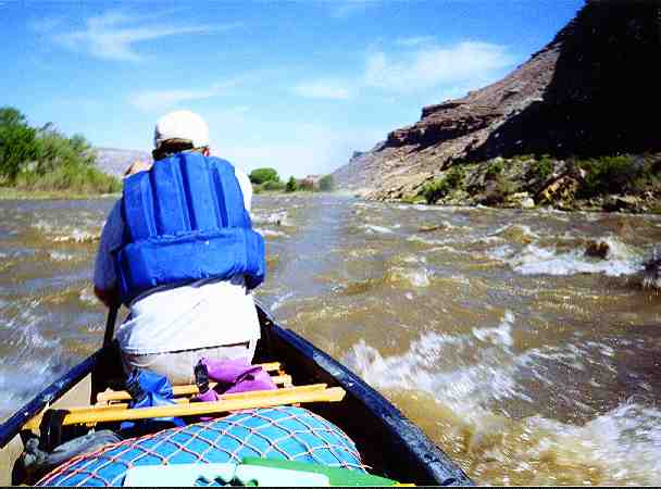
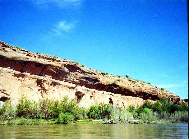
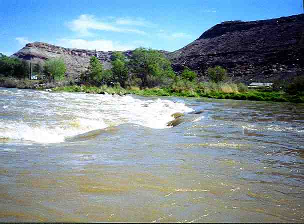
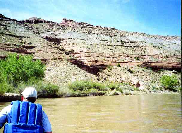
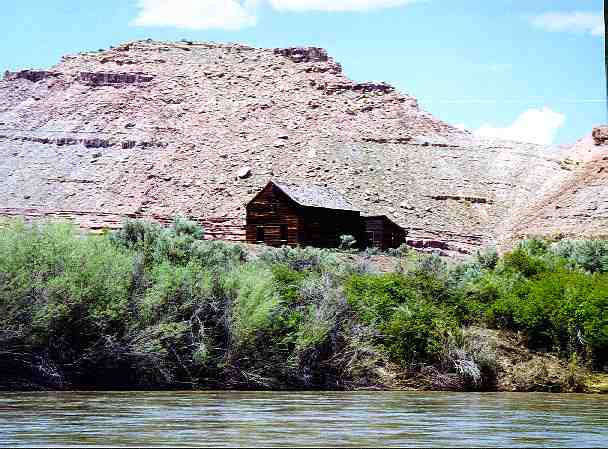
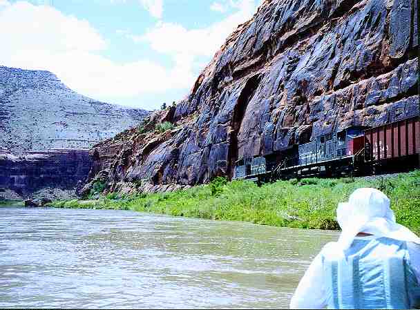
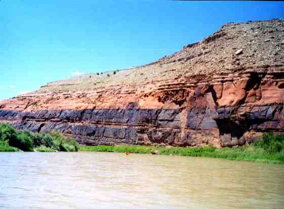
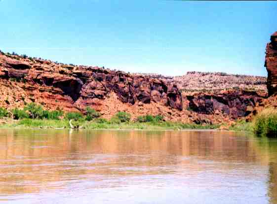
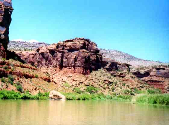
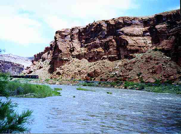
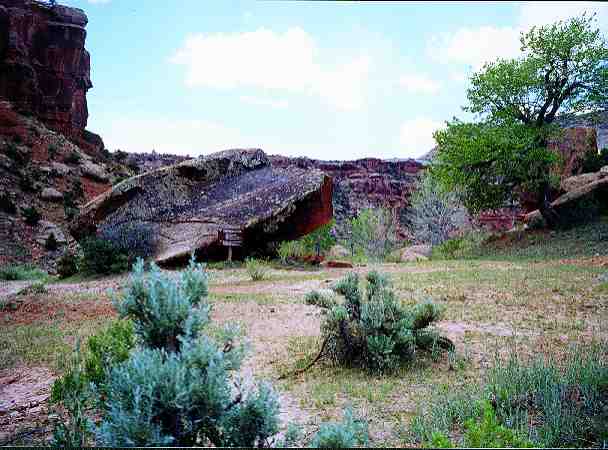
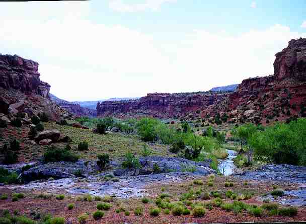
About two miles downstream of the Escalante put in you can see a large cave about a half mile from the river on river left. Another mile downstream is a class II rapid. At high water a whirlpool about 100 yards in diameter forms at the top of the rapid. The river passes through fruit orchards on the bottoms of the canyon. In the fruit orchard section there is a small boulder dam with a clear chute on river left. About 9 miles downstream from the put in at Escalante there is an abandoned two story log cabin on river left. Petra glyphs can be found by hiking up Dominguez Creek canyon. Dominguez Creek is a nice camping spot, but on weekends during the prime season there are likely to be other river travelers camping there. There is additional camping a couple of hundred yards downriver. Stay on the left side of the island and watch for the BLM posts that identify the camping locations. There is a dirt road along the canyon wall that more or less connects the campgrounds.
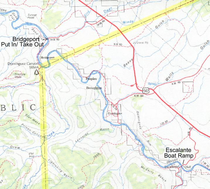
About nine miles north of Delta on Hwy 50 exit west on Escalante Road. Go west about three miles to the river and find boat ramp on right before crossing the bridge.
11.5 miles
Class II