Streamflow for Gunnison River near Grand Junction
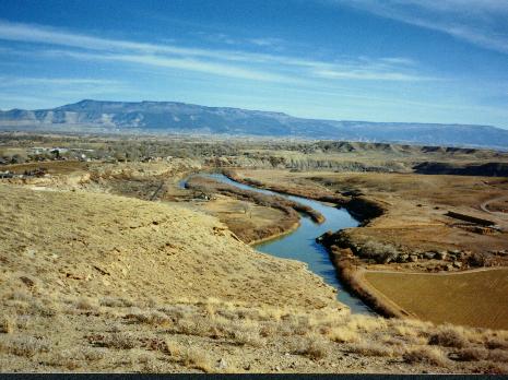
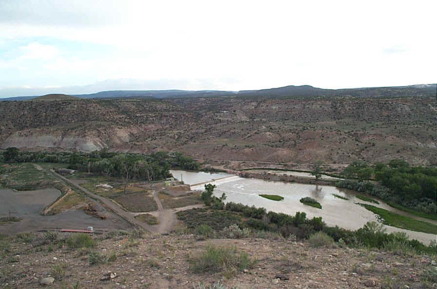
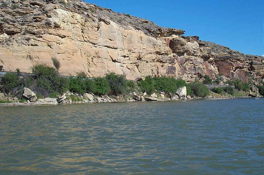
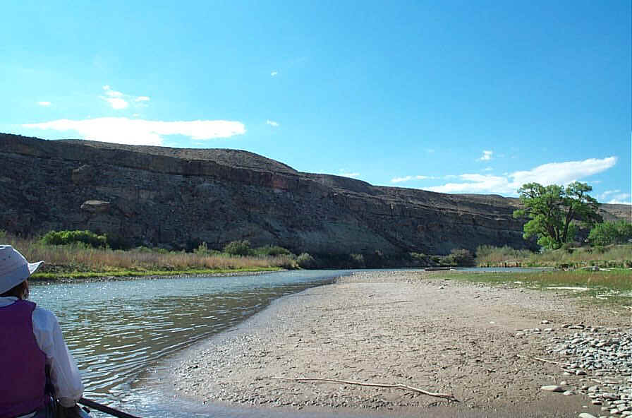
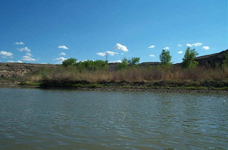
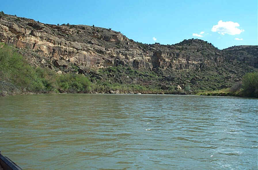
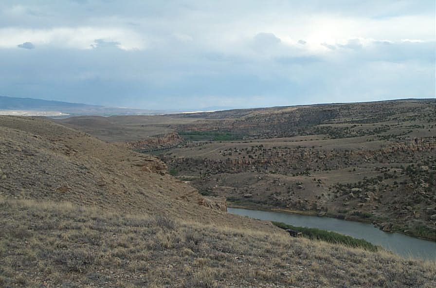
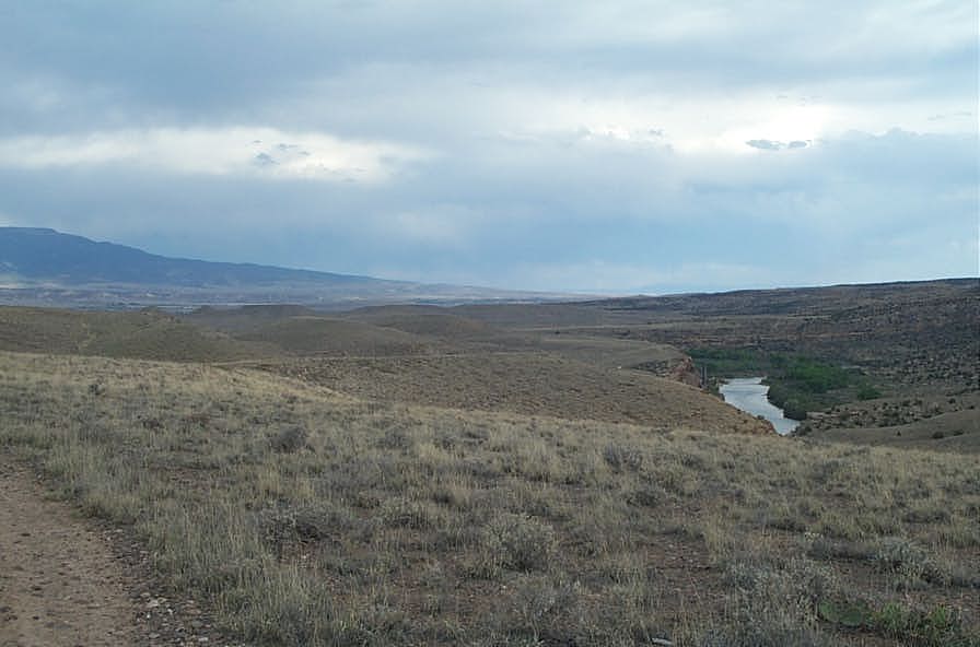
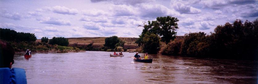
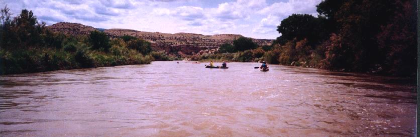
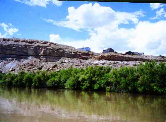
This section of the Gunnison River starts in open space then enters a canyon below the Bluff Ridge Trail. After passing through the town of Whitewater signs of agriculture and recreation disappear although the railroad still runs parallel to the river. The river was virtually inaccessible for a number of years. The only way to access the river to launch a canoe was to trespass. With the construction of the fish ladder at the Redlands Power dam near Grand Junction, local boaters brought attention to the difficulty of accessing the river without trespassing. You could trespass across the railroad to get on the river at Whitewater, but when you got to the Redlands dam there was no place to get off the river without trespassing. Numerous community groups including the BLM, the Colorado River Front Commission, Mesa County Commissioners, Grand Junction city officials, Elam Construction, State Parks officials, and local boaters all cooperated in securing a couple of land swaps involving Redlands Power, BLM, GSA, and the county. The result was construction of a road, parking lots, and river access for non-motorized boating. The result is thirteen miles of river that can be legally accessed. Sadly, it must be reported that the takeout at the dam continued until April 2006 to suffer from "vacant land syndrome" which means vandals and bad people hung out there. The site was trashy and not suitable to leave a car overnight. With the clean up in April 2006 and a new barrier to keep the bad guys from driving cars to the boat ramp, it is hoped that this will become a good place to leave a car for a river trip.
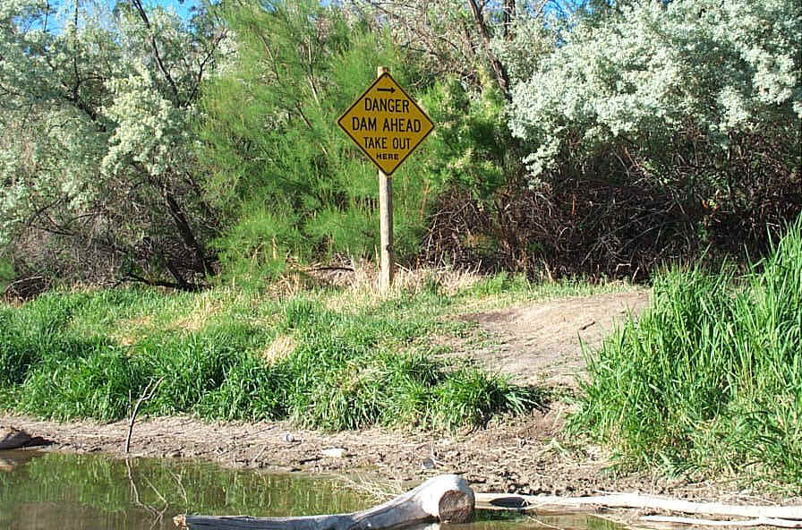
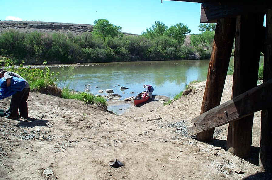
The vandals regularly destroy and remove the sign telling boaters Danger: Dam Ahead. Get off the river here.
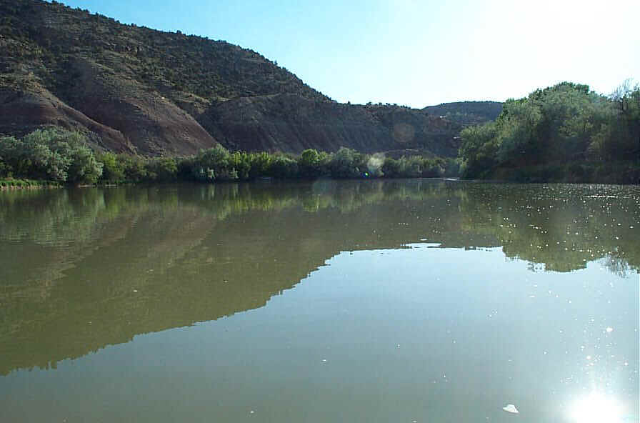
Here are old pictures of the takeout at low water with the sign still standing.
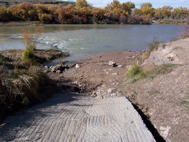
Memorize them because the sign mostly likely will not be there when you come down the river. Since the April 2006 clean up, the bank has been made to look more like a boat ramp as shown into the May 2006 picture further below.


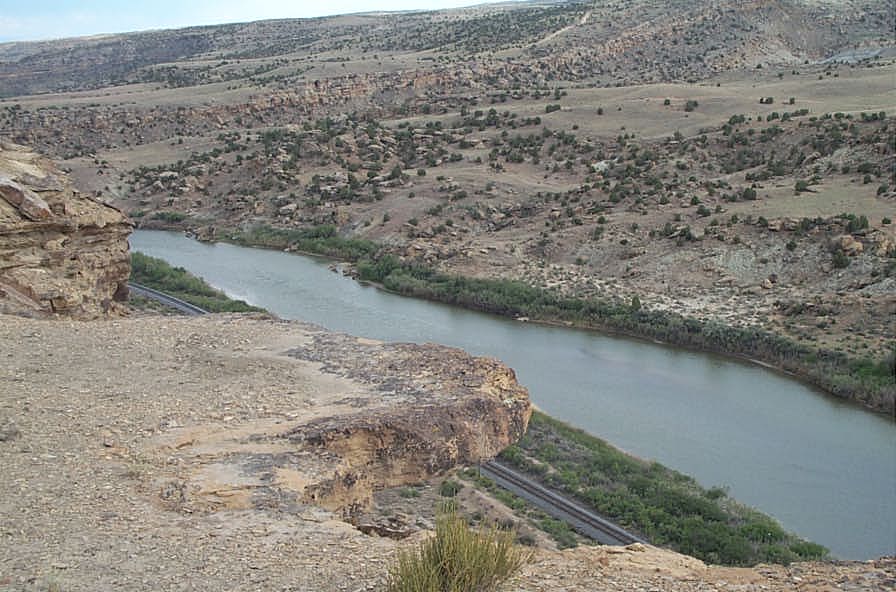
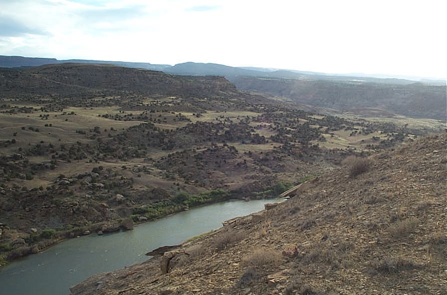
If your plan is to portage the dam and continue on down the Gunnison River you will have a portage about .3 mile. The confluence is about 1.5 mile below the dam. During low water when the Redlands canal is taking its 670 cfs or more from the river there may not be enough water to navigate the last 1.5 mile of the Gunnison to its confluence with the Colorado River.
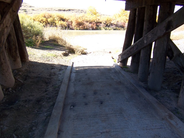
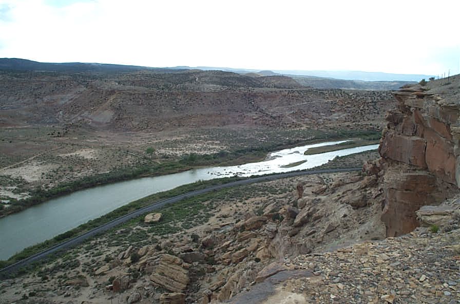
Pictures of the .3 mile Portage around Redlands Power Co. Dam
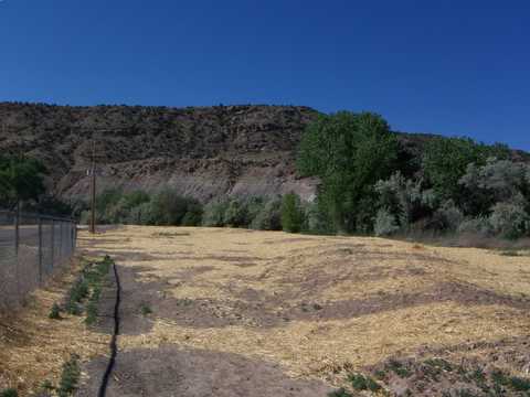
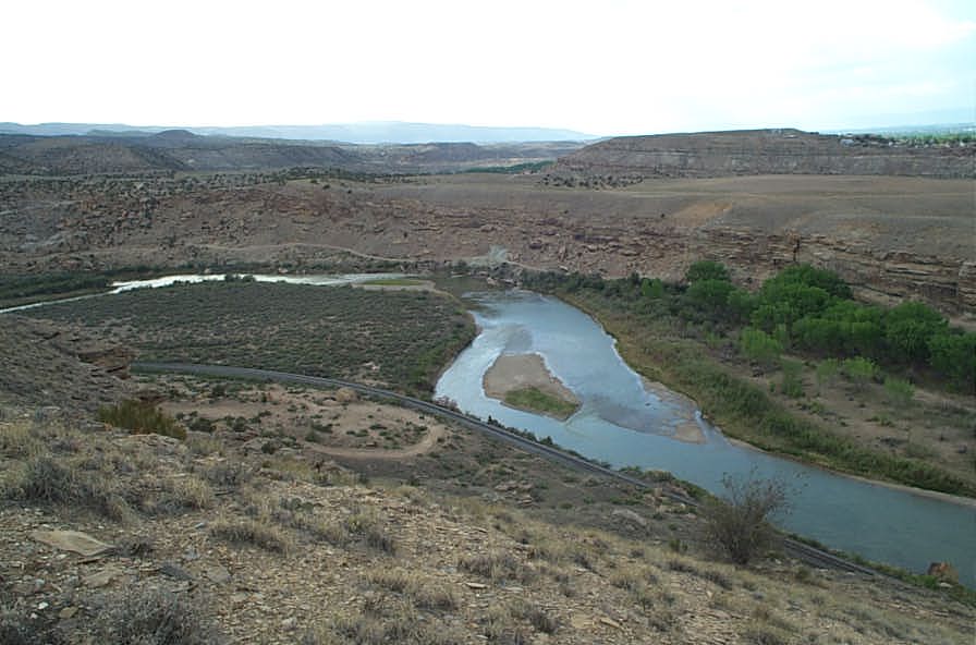
In the Spring of 2006 this area was cleaned up.
Take out on May 2006
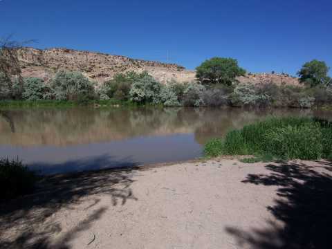
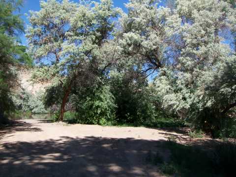
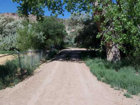
The approach to the river is now cleaned up.
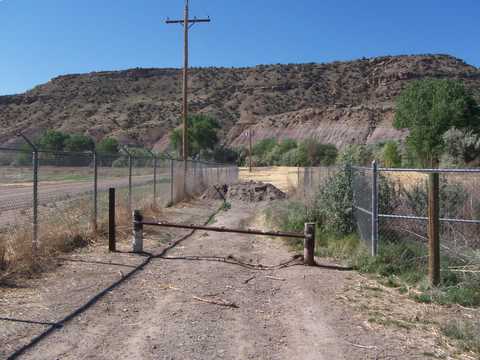
This new barrier should keep the bad guys cars out.
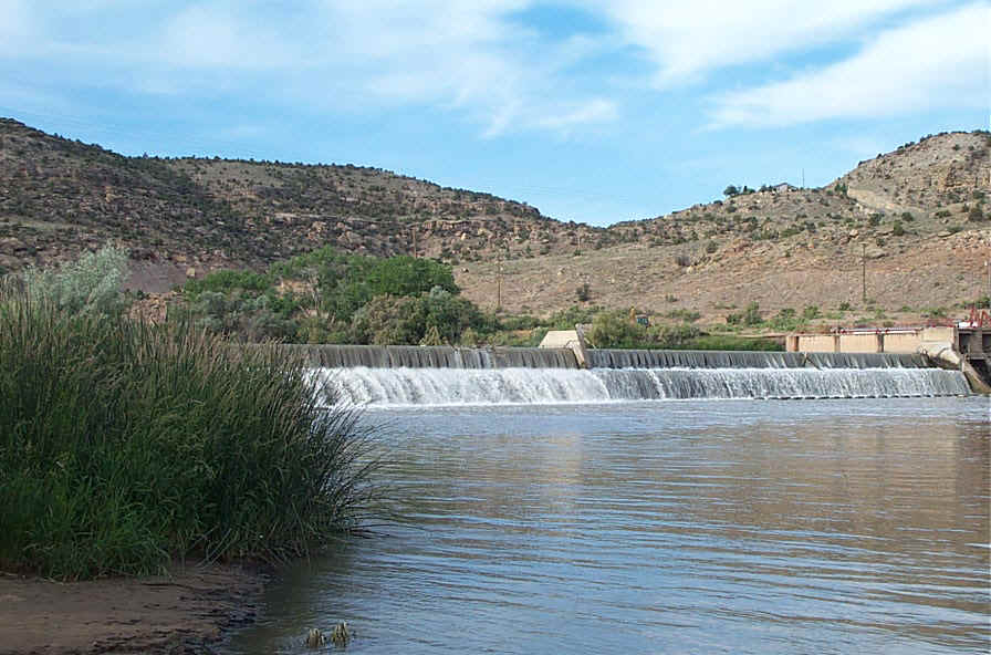
The damn dam

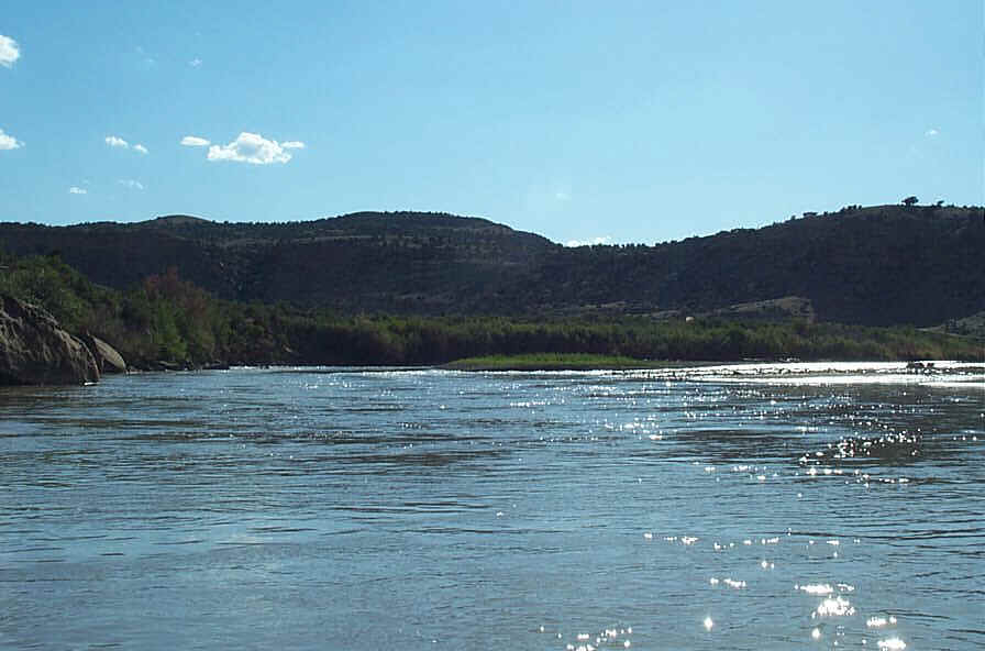
View looking downstream form put in
View of the dam and the portage
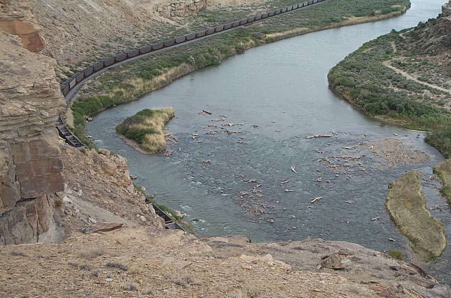
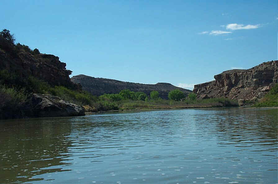
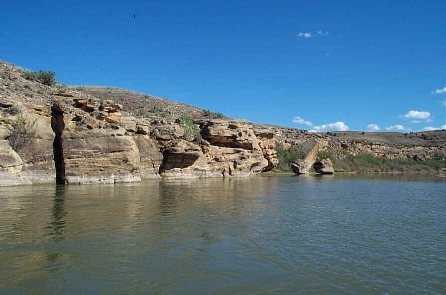
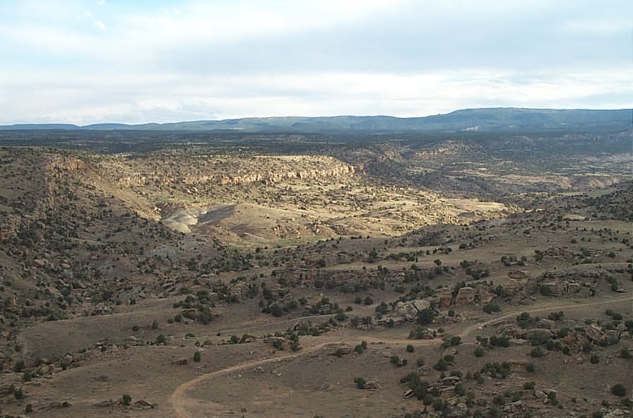
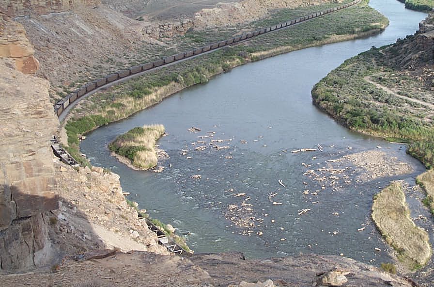
There are a few sections that require some boat control. One of these sections looks like you are approaching a dam or waterfall. The river gets wider and flat with no discernible flow. It disappears over the drop. There is a small island on river right. At low water this might be the only route. Left, middle, or right, it is still a class II rock garden. At high water the right channel could be a class II+. Here is a picture of this rock garden.
An excellent account of a trip down this section is available at the Mountain Wayfarer website.
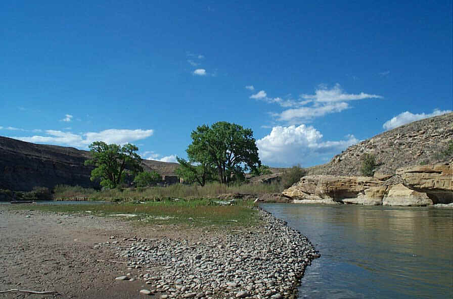
Exit Highway 50 west on Highway 141 near Whitewater. Proceed west about 200 yards then turn left on Desert Road. Follow Desert Rd into the large asphalt area formerly used for exchange of mill tailings from train to truck. Follow painted lines and signs west to the river.


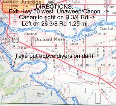
Exit Highway 50 west at Unaweep Ave. Proceed south on Canon Rd 1/3 mile. Turn right on B 3/4 Rd and proceed west about 2/3 mile. Turn left on 26 3/8 Rd and proceed 1 1/4 miles to parking lot. This is an ugly area where you parked vehicle will be at high risk for vandalism.
11.5 miles
Class I/II


