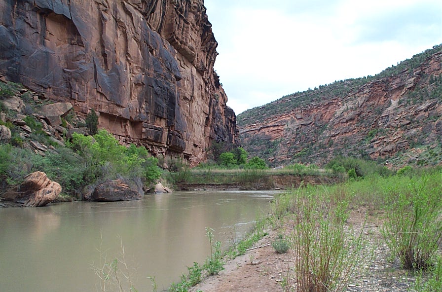
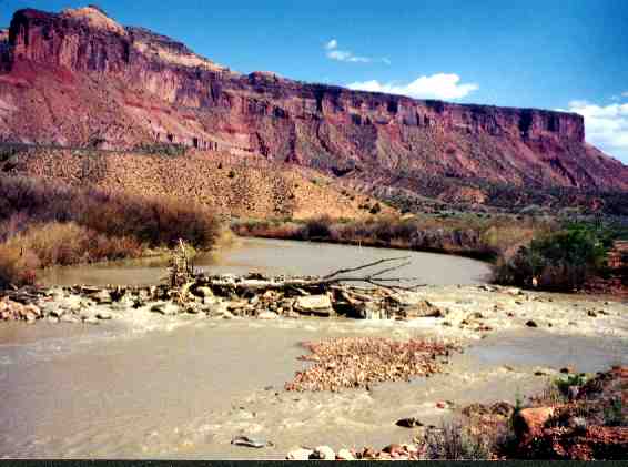
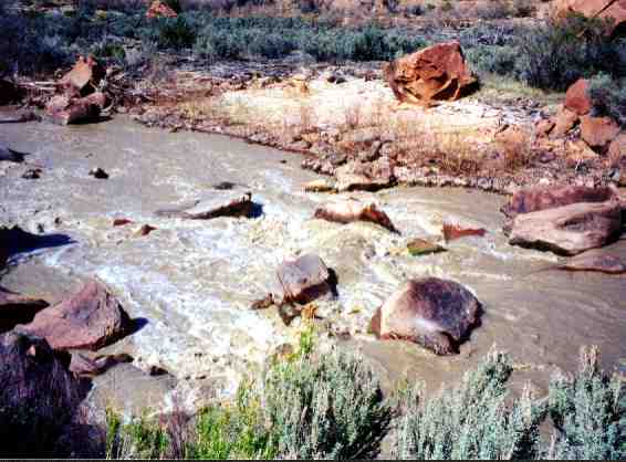
Dolores River Canyon below McPhee Dam
Dolores River above McPhee Reservoir:
I asked Dolores town resident and canoeist Rich Elten to describe the Dolores River upstream of McPhee Reservoir. Here is his description:
Hi Jerry - The section of the Dolores above the town itself is also known as the "Stoner Stampede" on the flow reports for the various sections of the river. It is a very fast 50 ft/mile gradient - that's five times as steep as the Slickrock section and twice as steep as the river around Snaggletooth Rapid. It is a solid Class 3 run with several rock weirs, one very dangerous, that span the river for farmers irrigation, but the rest are easily boatable.
The put in is at the confluence with the West Fork of the Dolores, 15 miles above the town of Dolores and just below the town of Stoner. You put in on the West Fork itself and then go under the highway bridge to join the main river. The take out is on river left right across from the town ballfields on the West edge of Dolores. Big sand bars and car access. Drive over the highway bridge on 4th street to get to the South side of the river and turn right. Go about 300 yards and take the little right turn down an easy short hill (50 yards long) to the river. A new river park for fishermen is here.
Four miles ABOVE Stoner at mile #29 is the most interesting part of the upper river and the place where the kayakers go to surf. Some big holes and waves and a more technical and tight run from there than the standard float described above. Rich Elten 6/23/08
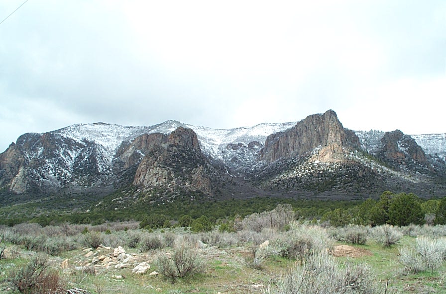
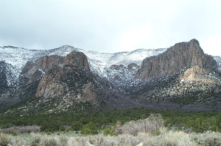
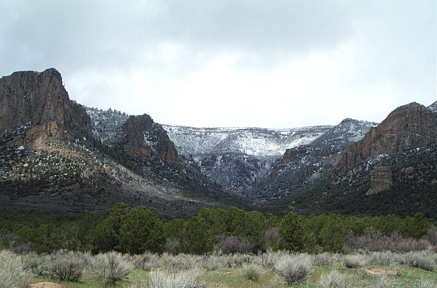
Dolores River below McPhee Dam:
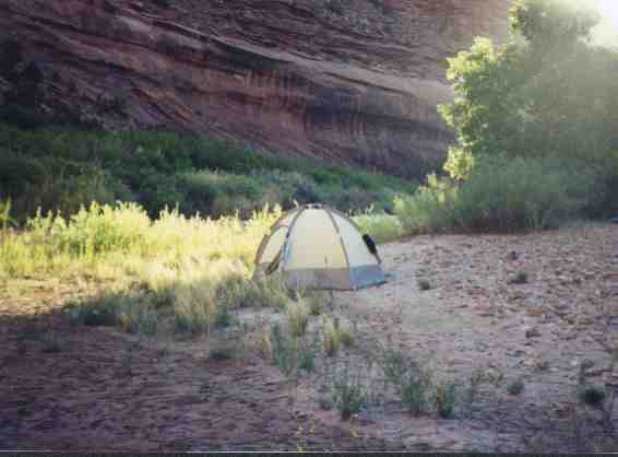
Critical issue for the Dolores River below McPhee dam is lack of water. Most of the time there is not enough water to run the river since the construction of McPhee Dam. To run below McPhee Dam you need to monitor the releases. You'll want to buy a copy of the Dolores River Guide which is a water and tear resistant guidebook copyrighted in 1997 by Ralph DeVries and Stephen G. Maurer. This book can be purchased at the Whitewater West in Grand Junction and the Bedrock General Store in Bedrock and online (Google "book Dolores River Guide") Here are the classic runs of the Dolores River below McPhee Dam.
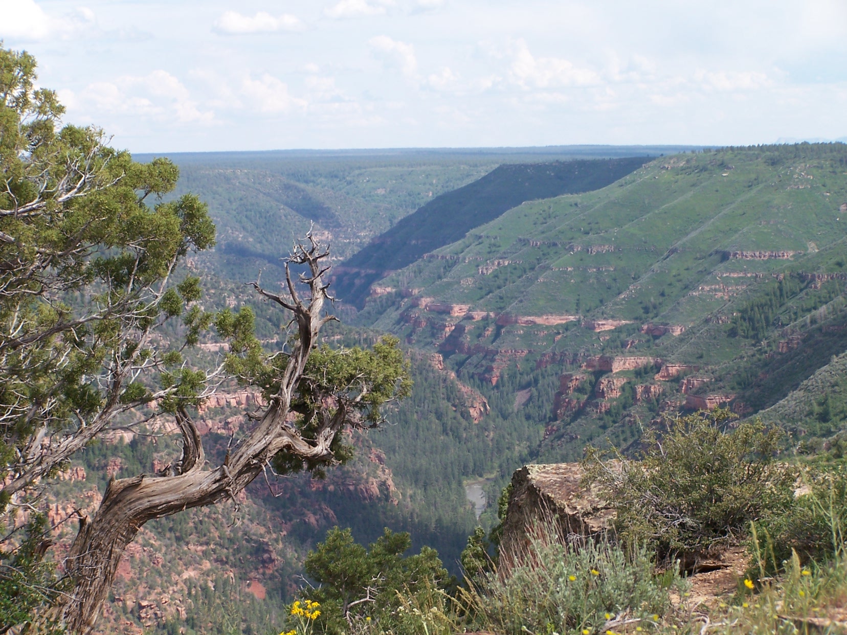
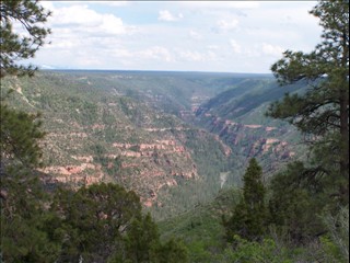
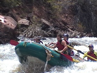
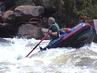
Five miles east of Bradford Bridge to Slickrock: 47 miles. First ten miles is Class II through pine forest of the "Ponderosa Gorge". The river then enters Glade Canyon where the first rapids are encountered. The river drops into high desert and canyon country. The canyon of the Dolores reaches 2,500 feet deep and two miles wide. Two class III rapids, Molar and Canine, precede the famous class IV Snaggletooth Rapid. Through this section there are about ten miles of rapids. Read Dolores River Guide referenced above.
Click here for more pictures at Snaggletooth Rapid
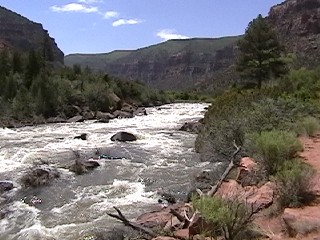
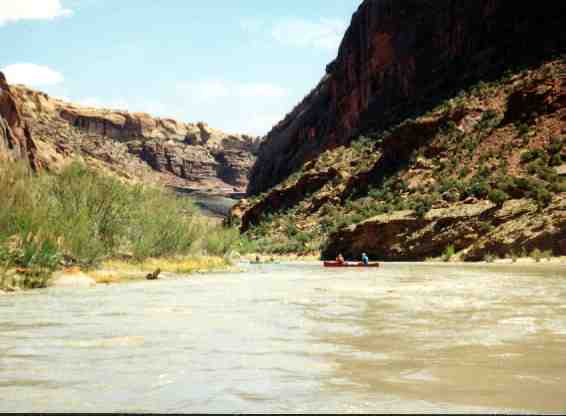
Slickrock to Bedrock: 50 miles. Superb trip for the skilled open canoeist. Class II or Class III depending on water level. Deep narrow winding canyon with exotic rock formations. Slickrock is private property,.but you can pay to leave your car at the parking lot. Instructions for paying are on the sign at the lot. Alernative to put in at the Gypsum BLM boat ramp and skip14 miles of boating through private ranchland. Take Road 20 R from Hwy 141 to the BLM boat ramp. You are then only a couple river miles from the beginning of the Dolores River Canyon Wilderness Study Area. Read Dolores River Guide referenced above.

Bedrock to SanMiguel River: 10 miles. Five miles of flat open area paddling, then five miles through Paradox Canyon with several Class III or IV rapids to the confluence with the SanMiguel River. Read Dolores River Guide referenced above.
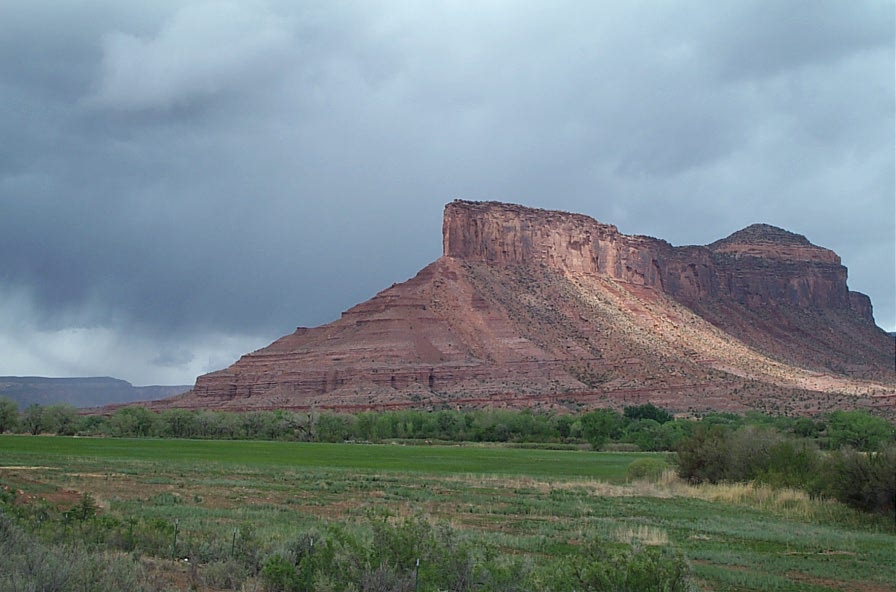
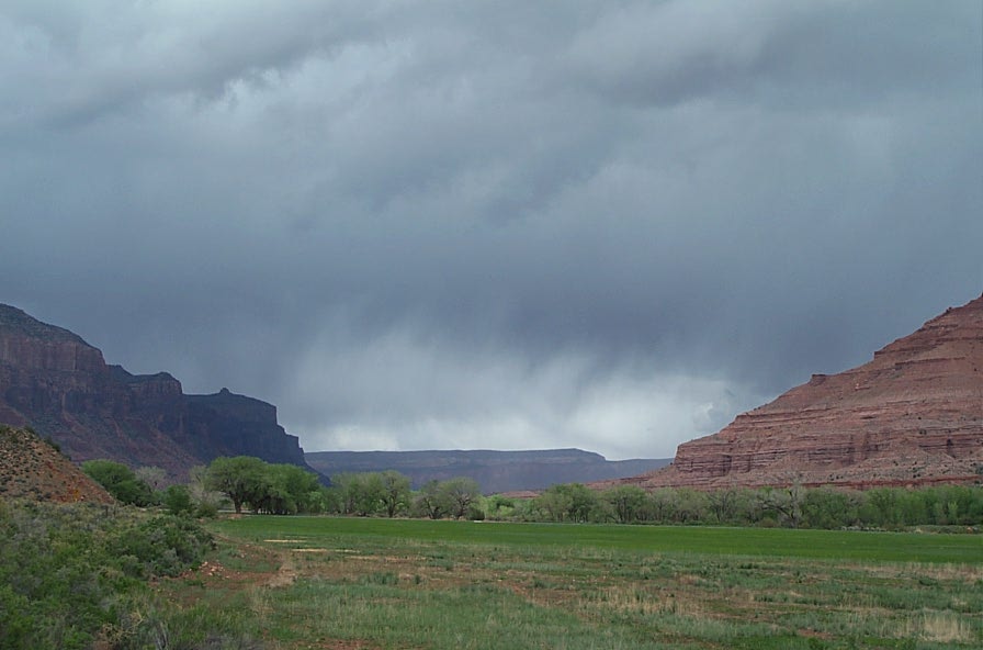
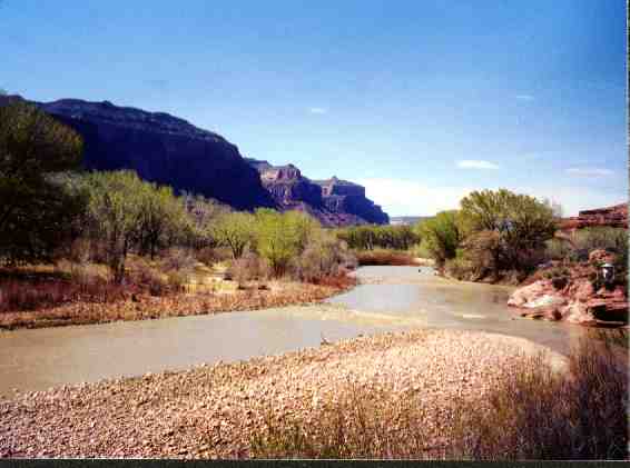
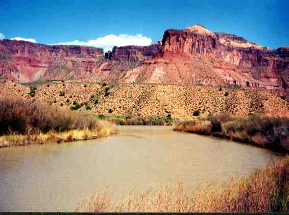
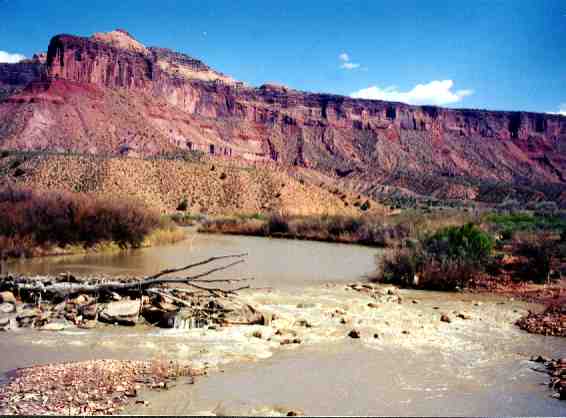
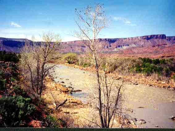
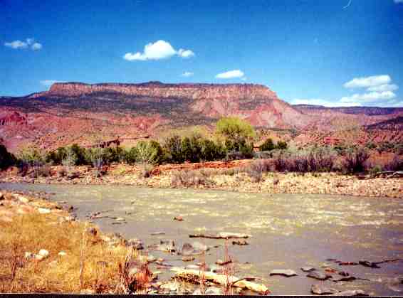
SanMiguel confluence to Gateway: 34 miles. From the SanMiguel confluence to Gateway the river is Class II. Highway 141 runs parallel to the river. Beautiful trip when there is water. When the river is flowing fast, good boat handling skills are required to negotiate sharp turns and strainers. The confluence is near the town of Uravan. Click here for detail info on launching at Uravan. Read Dolores River Guide referenced above.
Gateway to Colorado River Dewey Bridge: 33 miles. Permit required. This run includes State Line Rapid which is rated as Class III or Class IV depending on waterlevel. Gateway, Colorado and Dewey, Utah Read Dolores River Guide referenced above.
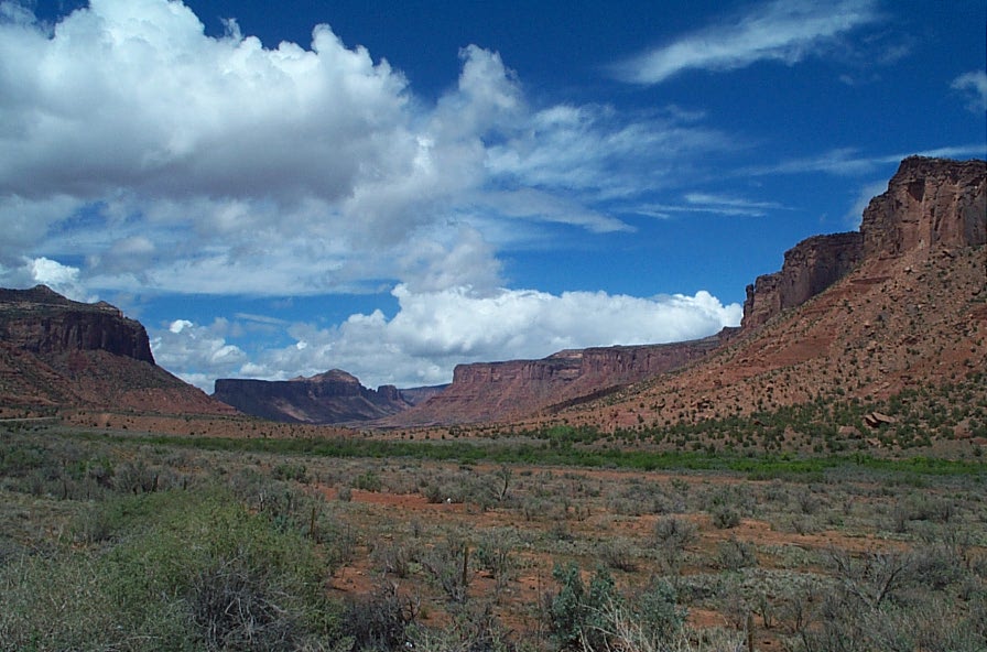
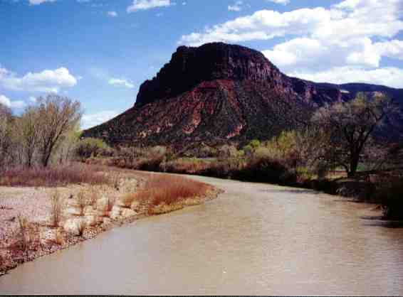
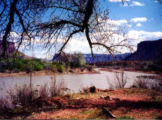
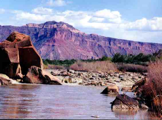
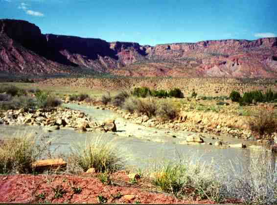
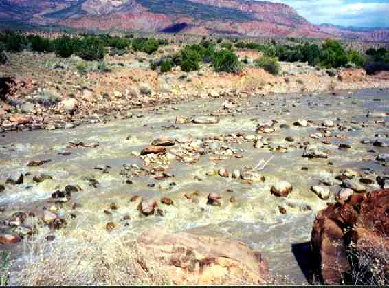
Photo taken 19 miles upstream of Gateway
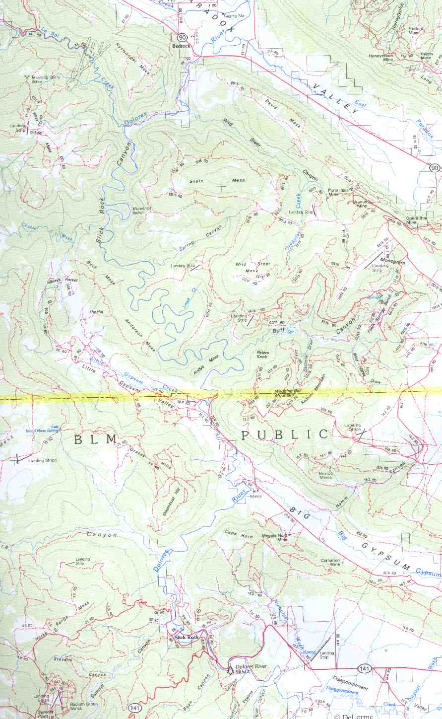
Topo Map Slickrock to Bedrock
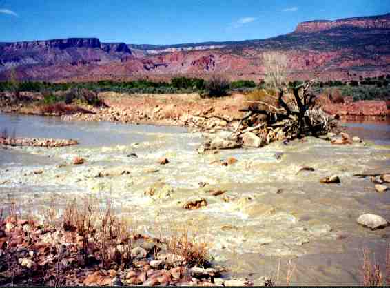
HIGHWAY MILE MARKER 93 TO GATEWAY RUN: Access to river eighteen miles upstream of Gateway is good. There is a gravel pullout on the east side of the highway that is on the river with plenty of parking. Putting in here affords a nice 18 or 19 mile run down the Delores River to Gateway. When the water is low this is a long 19 miles. When the river is flowing fast, good boat handling skills are required in fast moving Class II+ water with some sharp turns and strainers.
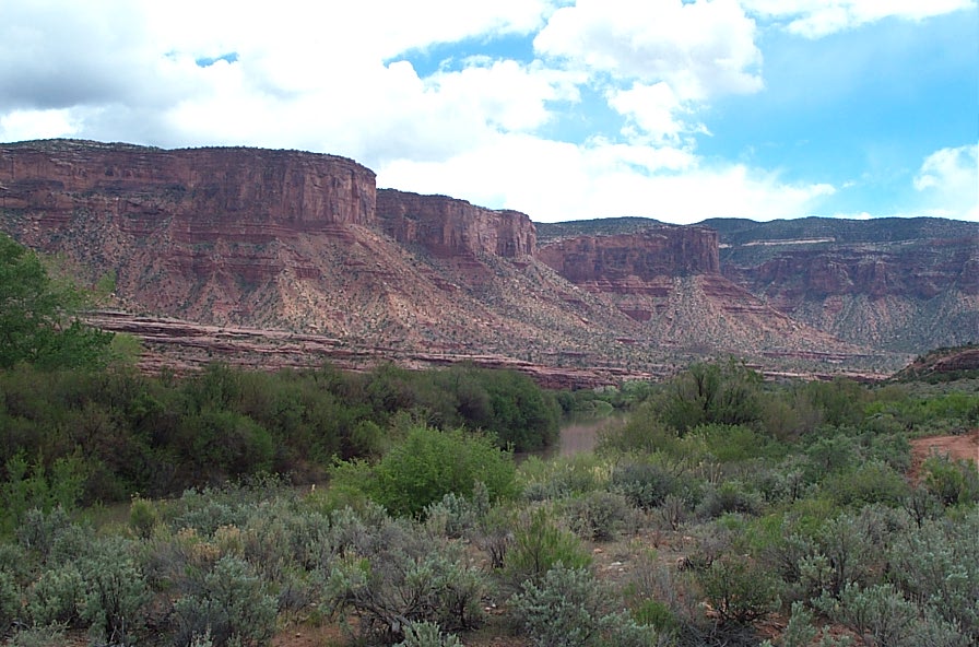
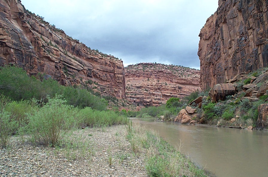
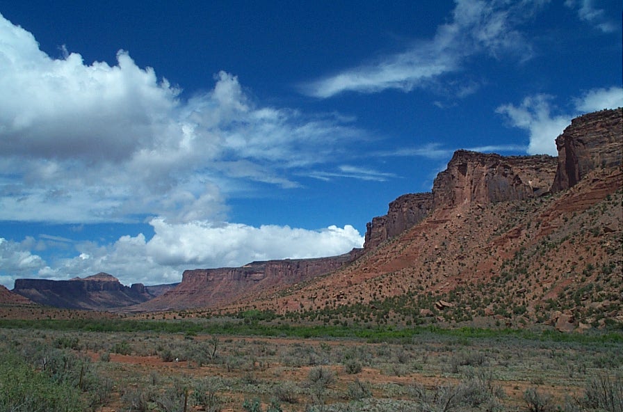
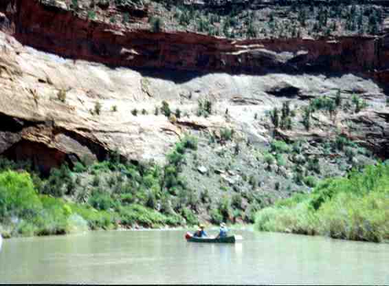
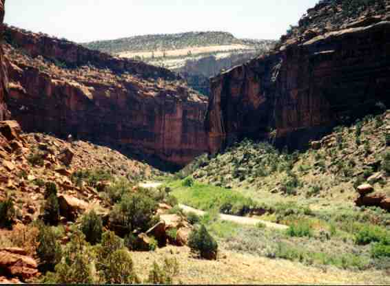
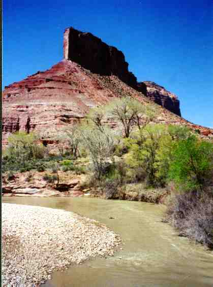
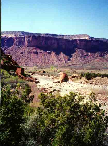
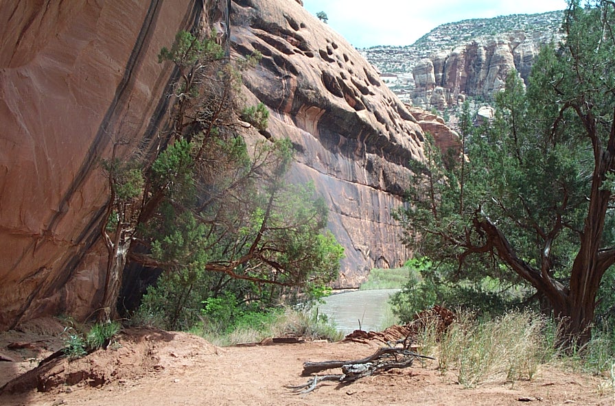
Canyon Entrance on Slick Rock to Bedrock Section of Dolores