Colorado River
Section 5 - Rulison to DeBeque
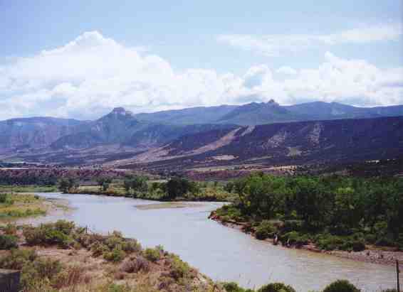
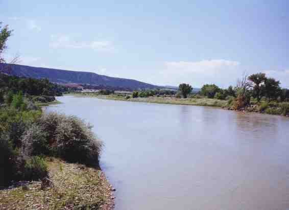
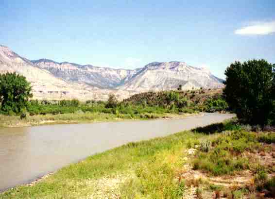
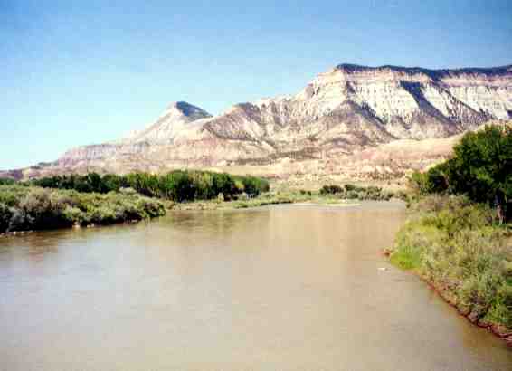
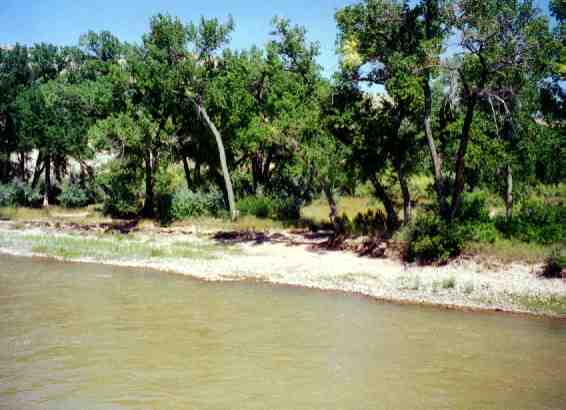
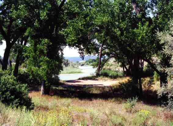
The river is wide and generally peaceful as it winds its way through
the rangeland of the valley. The valley is huge with views of green
and
white mountains. (The white mountains are oil shale mountains.)
Put in:
Exit I-70 at Parachute and travel east on the frontage road on the north
side of the river until you reach Rulison. Turn south and proceed to the
river. Parking is available on the east side of the road, north side of
the river. This river access point is not great but will suffice for a
day trip. The problem with this put-in is that there is a fence albeit
with stairs over the fence. The put-in is in a big eddy that makes launching from large rocks a little easier.
Take out:
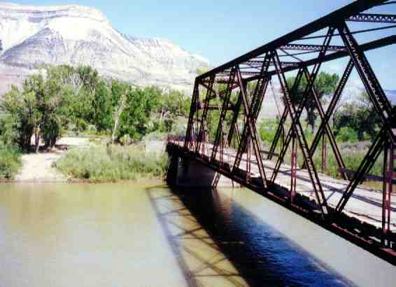
The old river access at the green bridge on the frontage road one mile east
of the Debeque has been closed. New access is at the I-70 Debeque
exit on the southeast intersection of the bridge to Debeque and the river
itself. Not as nice an access as the old one, but it will suffice.
It has plenty of parking, a slightly steep boat ramp, and moving water at the
bottom of the ramp.
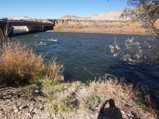
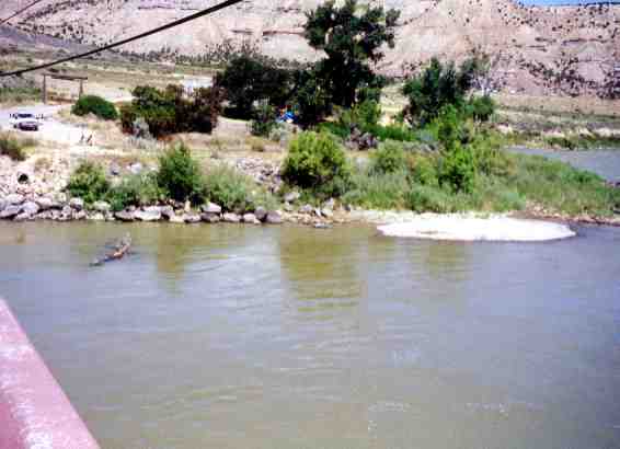
Boat ramp at Debeque bridge
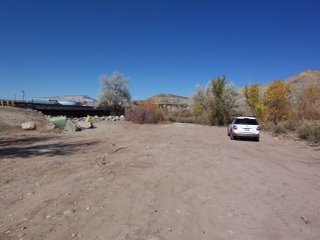
Parking lot at Debeque boat ramp
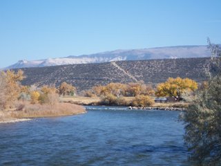
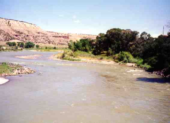
View upstream of Debeque bridge
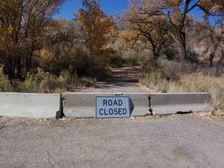
Closed road to old takeout at green bridge
Length:
- Rifle to Rulison . . . . . . . . . . . . . . . . . . .10 miles
- Rulison to Parachute . . . . . . . . . . . . . . . . 8 miles
- Parachute to Una-Parachute Road . . . . . 5 miles
- Una-Parachute Rd to Debeque Take-out 7 miles
River Rating:
Class I/II (mostly Class I)
Features:
Scenic valley, green mountains, white mountains, ranchland, flat
water.