There are two possible starting places for this trip: 1. Rapid Creek Road 2. Riverbend Park. The River Bend Park location is better because you won't have to negotiate the Grand Valley Diversion Dam. Futhermore, the Riverbend Park had a new boat ramp added in October 2005. It July 2004 the local news media was reporting a hazard on the river at 33 Road, one mile before the takeout at 32 Road. Apparently a tree has fallen across the river and blocked most of the river's path creating an dangerous strainer.
From Rapid Creek Road the trip starts with a few riffles in the first couple of miles. Just after going under the bridge at Palisade the Grand Valley Diversion dam is encountered. On river left is a 30 ft slot in the dam which empties into a zigzag course below it. (The zigzag is noticeable only at extremely low water levels.) The slot and the zigzag course was designed and constructed to serve as a fish ladder that is also navigable for boaters. The paddlers of the Grand Valley were involved in its design. The design is considered to be a milestone in fish ladder design because of its construction of boulders and consideration for boaters. Good team work is needed in two person canoes in negotiating the zigzags. After the zigzags a few more riffles then class I water. About a mile below the dam is the River Bend Boat Ramp. This is a better place to start your trip. Five more miles downstream there is a dam made of boulders. The dam can be avoided by taking the left side of the river. Near the end of the run, just upstream of the 32 Road bridge, is a class II riffle. The Corn Lake takeout is below the bridge.
At low water the fish ladder is either closed or unboatable which requires a portage and trespass on the irrigation company dam. In this case it is recommended that you launch below the dam at Big Bend Park in Palisade.
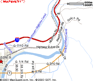
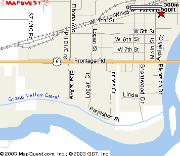
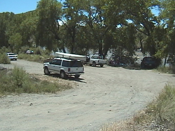
Put in and parking is at the intersection of Hwy 6 and Rapid Creek Road at the east end of Palisade. Location is river left (east side of the river) 100 yards downstream of the Rapid Creek Rd bridge as shown on the map below. There is a westbound exit off of I-70 that goes right to the launch and parking site.
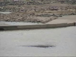
Click on thumbnail below to see dam at low water
|
This image taken when Palisade stream gauge at 1000 cfs and irragation canals open and taking water from the river. The canals are usually opened around April 1.
|
This picture taken at 5000 cfs and the irrigation canals are taking water off the river.
|
This picture shows the closed slot in the dam where fish and boats pass at normal water flows.
This gate is usually closed in early spring then opened when the spring flow begins.
Launch at Rapid Creek Road, 1000 cfs on Palisade stream gauge
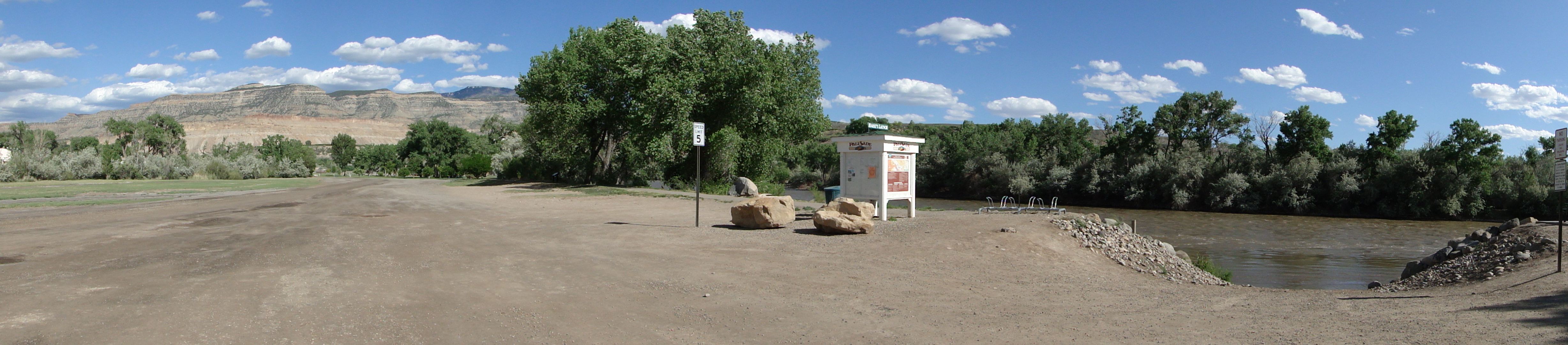
Riverbend Park is good place to launch because it is in a park with toilets and a much nicer environment compared to the upstream put in at Rapid Creek Road. This will take about three miles off the length of your trip and avoid the dam. On the west side of town off of Route 6 (G Road) get on the frontage road then Logan Court south to the park. In October 2005 a new boat ramp opened at River Bend Park.
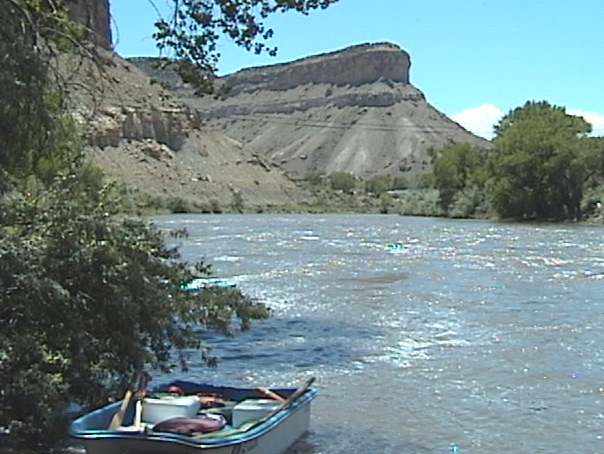
Take out at Corn Lake State Park where 32 Road, also known at Hwy 141, in Clifton, crosses the river. Yes, you'll have to pay to bring a vehicle in the park, and there is no other place to park and get off the river in this area. You can avoid paying for two vehicles by leaving one vehicle at the Park Office building and then walking to the river to pick up the other vehicle. This is the only concession we got when we protested not being able to get on the river.
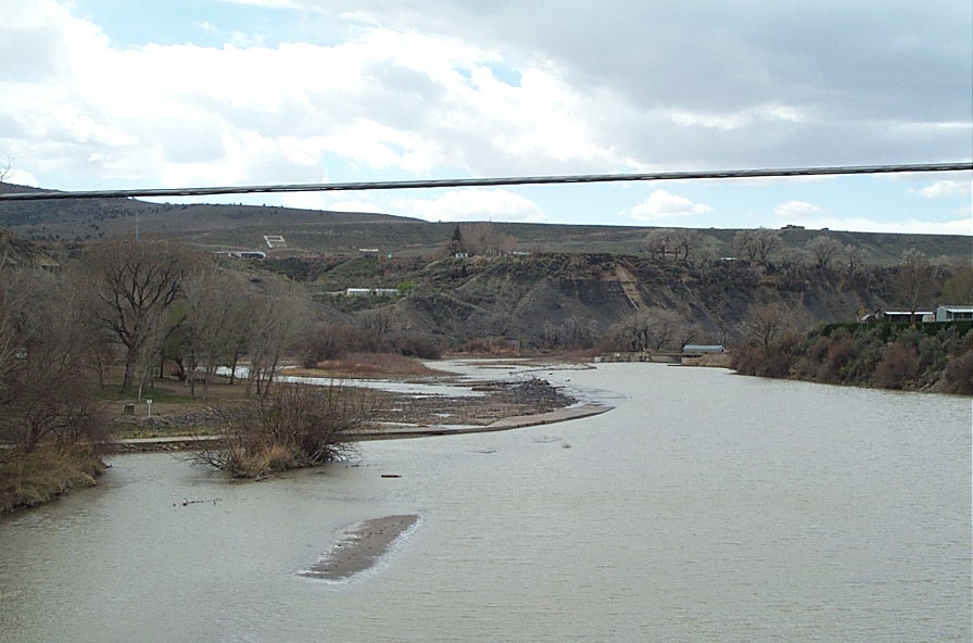
View of the Take Out from 32 Road Bridge
10 miles.
Class I/II
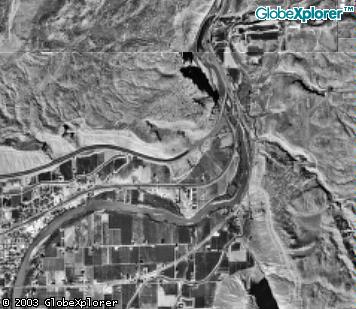
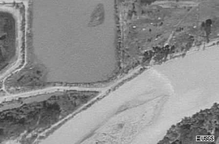
Mystery dam near the end of the run as seen from the spy in the sky satellite. NOTE: This dam was removed in 2005.
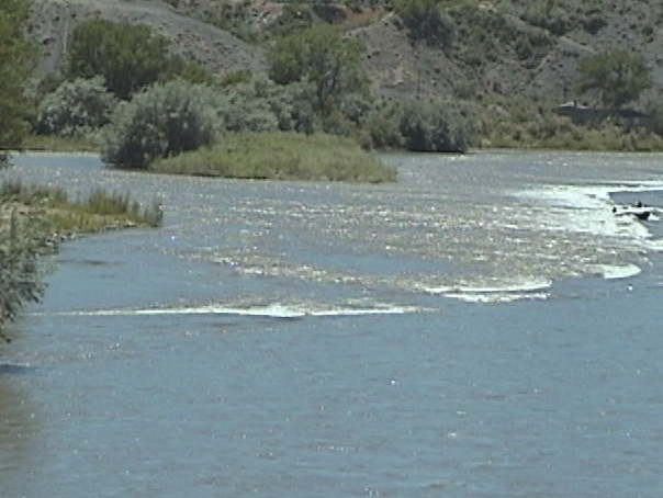
Running the fish ladder Water level is still high enough (5,000cfs) to cover the zigzag course through the fish ladder after passing through the chute at the Grand Valley Diversion dam. The fish ladder was designed to allow canoes, kayaks and rafts to pass through the dam. The Bureau of Reclamation actually consulted with us on this before its construction.
Two kayaks in the town of Palisade.
Dam at Palisade at 10,000 cfs, run far left
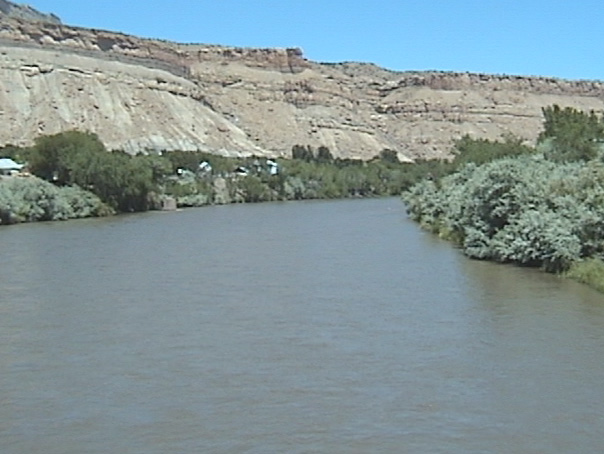
View looking upstream from Palisade bridge at 10,000 cfs
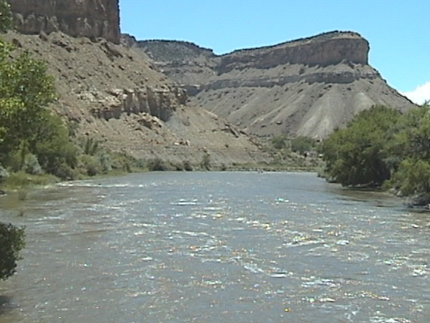
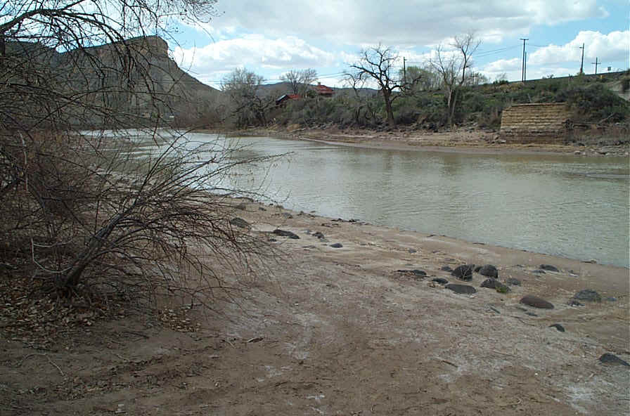
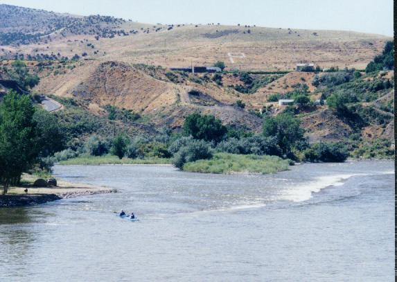
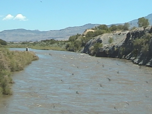
View looking upstream from 32 Road bridge
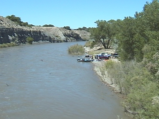
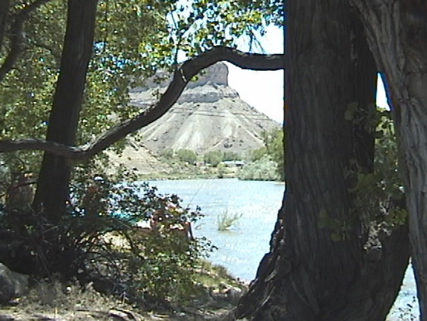
Putin as viewed thru the trees
Streamflow for Colorado River at Palisade