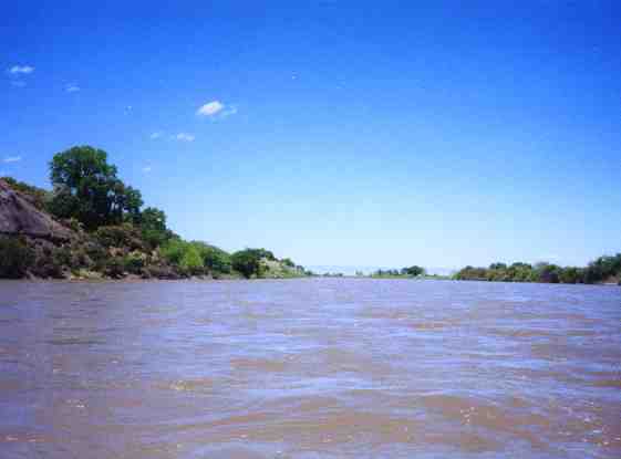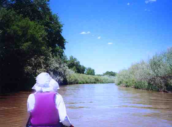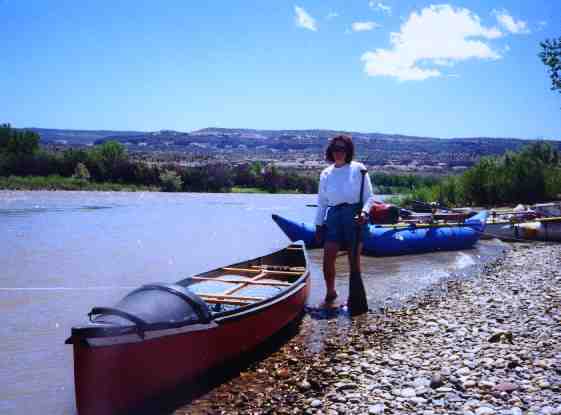
This is a pleasant flat and wide section of the Colorado with plenty of waterfowl especially around the Walker Wildlife Refuge. At the Walker Wildlife Refuge, about two miles from the start of this trip, there is a boulder dam that isn’t seen until completing a left turn in the river. There is usually at chute on the far left side but unless you have pre-positioned your boat on the left side of the river you will probably have to go over the boulder dam, usually without consequences. At high water, the dam disappears under high water. At 4000 cfs the dam is a set of waves. Below 3000 cfs the water over the boulders starts getting thin.
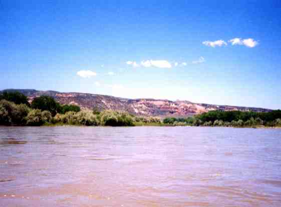
There is another spot about halfway between the put in and Fruita where the river turns south and offers a nice view of the Colorado National Monument. You could miss this view if you take the left channel shortcut. Stay right alongside I-70. At high water beginners need to be careful as the narrow left channel has a few strainers. For example, a Coleman canoe was once found swamped and abandoned downstream from Fruita. An ad was run in the newspaper about the canoe and after a couple of calls from people who had lost their canoes on the river, a call came in from a guy whose description fit. It was learned that during spring runoff the paddlers of this boat nearly lost their lives in a strainer in this stretch. When they failed to avoid the strainer they capsized and both of them got their feet pinned in the strainer with their heads below water. After struggling to free themselves they surfaced together in bad condition. They spent a cold night on the island before being rescued by the sheriff's department the next day. The retrieved canoe was delivered it to their home.One other thing to note about this section of river is that when it is flowing at about 20,000 cfs some large waves form below the aforementioned island. Some of these waves are pretty big and are surfable if you can paddle fast enough to catch them.
Also beware spring winds. If the winds are blowing or predicted, change your plans and go to the Gunnison River.
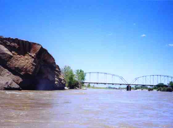
You can take out at the bridge in Fruita or continue and additional five miles to the Loma boat ramp. Colorado River State Park at Fruita is a good place to end your trip. Camping and a boat ramp are available at the State Park. Out of town folks might find Colorado River State Park a good place to camp. It is also a good place to start a Ruby/Horse thief canyons river trip to Westwater, but be sure to stop at the Loma boat ramp to register, especially if you intend to camp in the canyon. Starting at Fruita adds about five miles to the trip to Westwater.
Streamflow for Colorado River at Colorado/Utah border
Take Highway 6&50 (Business I-70) to the Mesa Mall at 24 Rd and exit just west of the Mall west on Redlands Parkway. Proceed west about a half mile on the parkway and you'll find the parking lot and a boat ramp. If you get to the bridge that crosses the river, you missed the parking lot and need to go back about a quarter of a mile.
Fruita: Exit I-70 at Fruita and go south on hwy 340 and turn right into Colorado River State Park. Or go past the state park and turn left 100 yards before the bridge over the river. Boat ramp is on the northeast corner of bridge and river.
Loma: Exit I-70 at Loma and turn upstream on the frontage road.
Class I