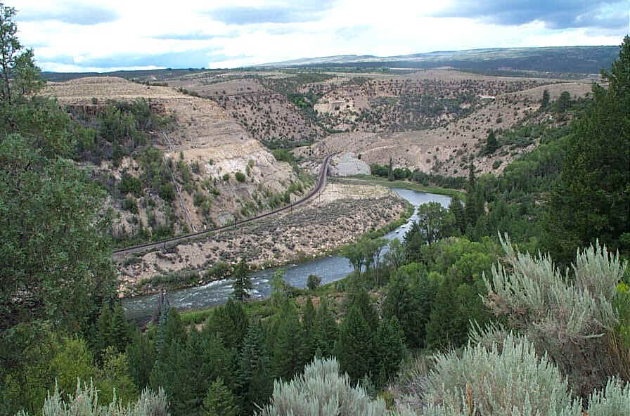
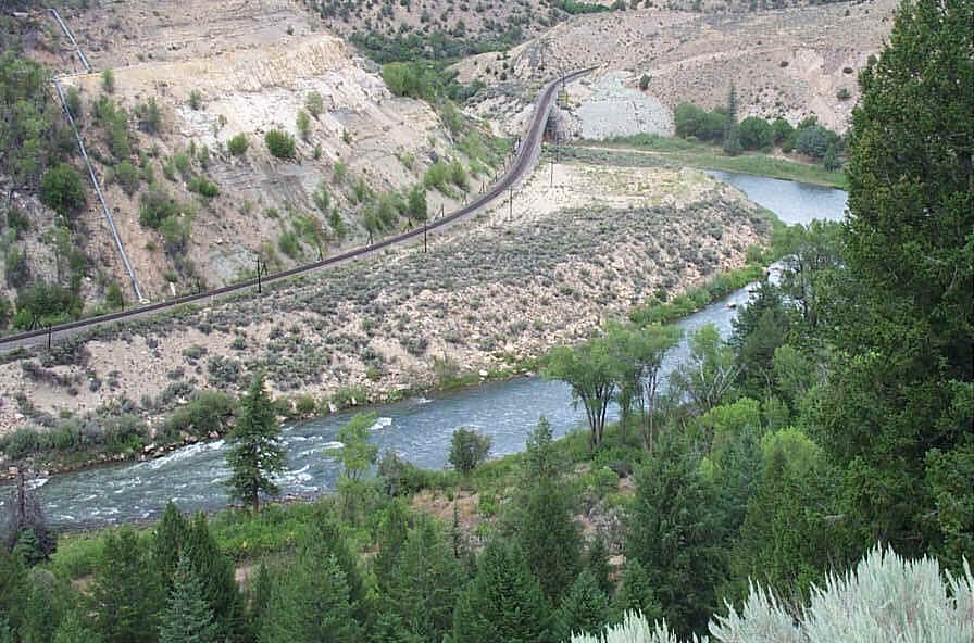
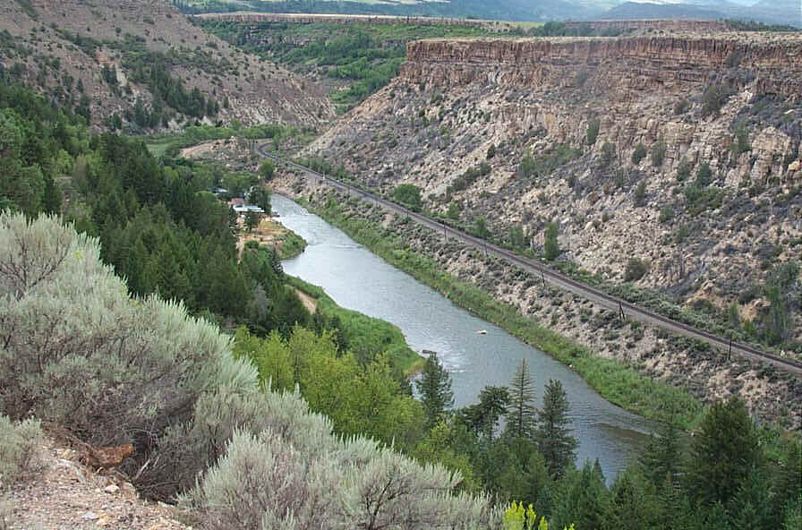
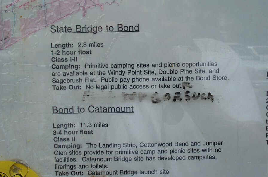
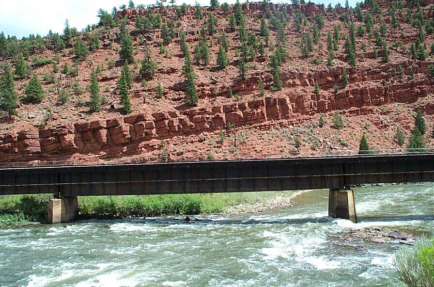
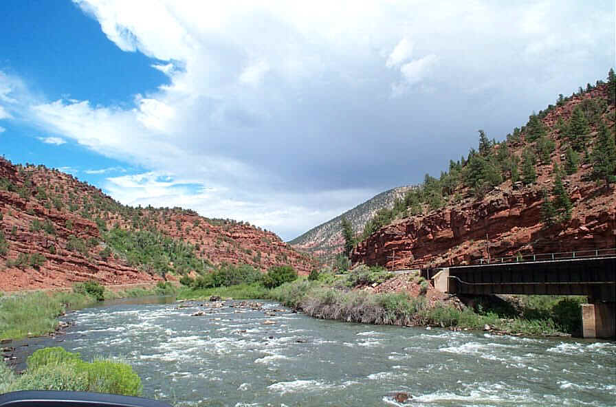
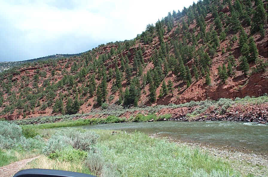
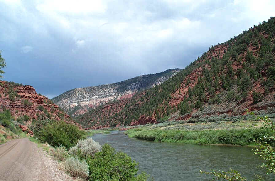
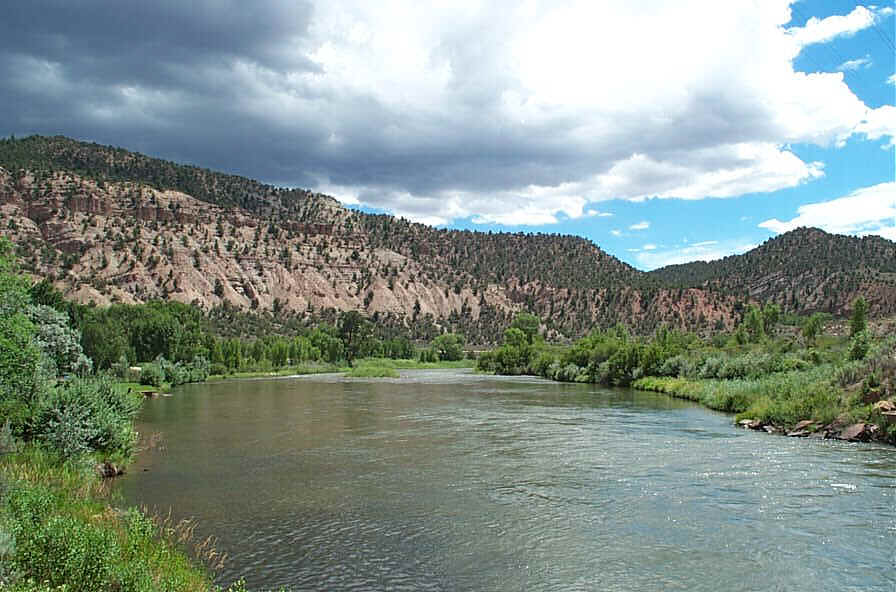
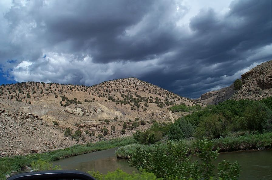
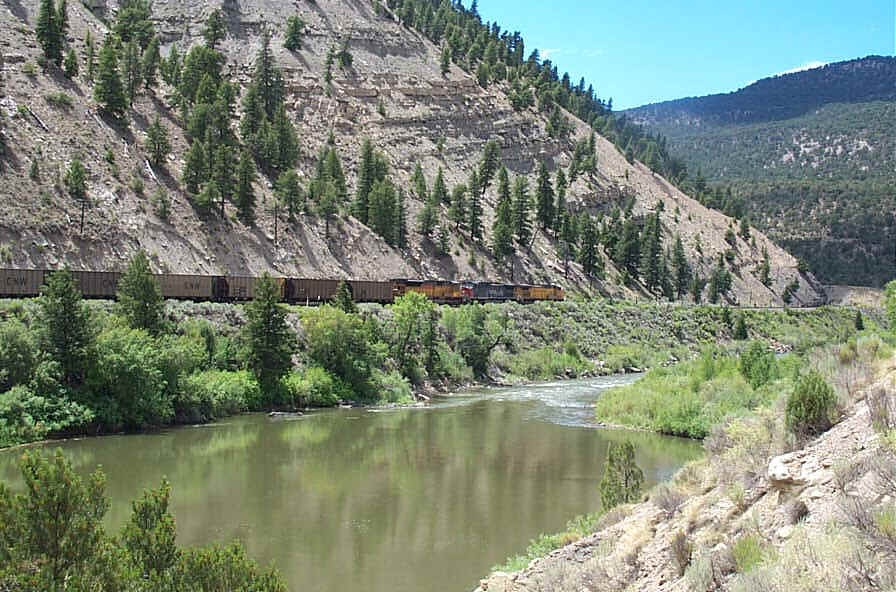
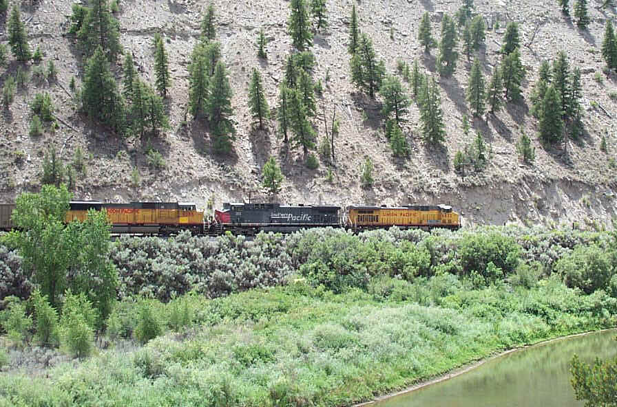
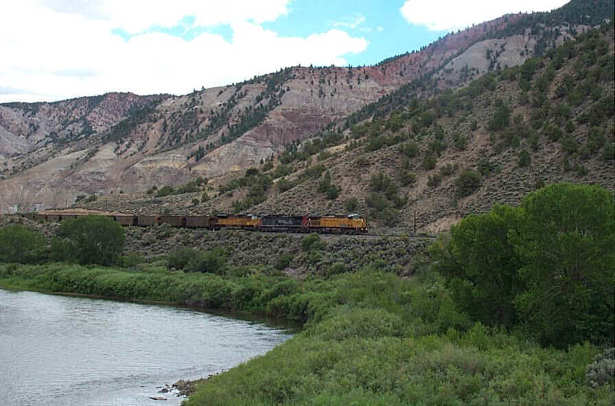
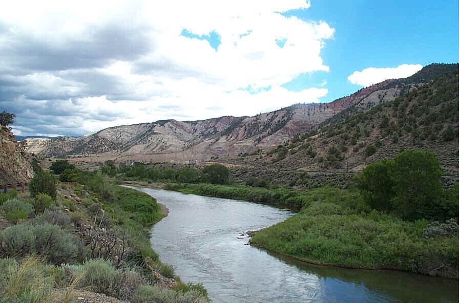
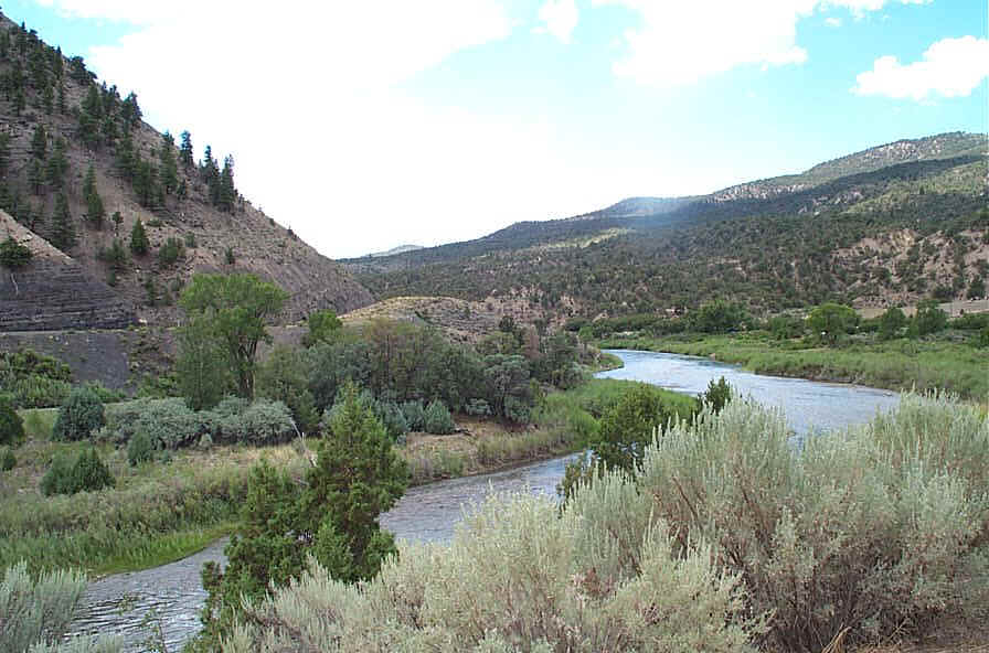
The State Bridge to Doterso run is about 45 miles. Trough Road parallels the river. A railroad also parallels the river most of the way. There are six BLM maintained access points to the river on this stretch so you can modify the length of your trip. The fishing is considered to be excellent on this entire run. BLM campgrounds are also available at several of the access points. Compared to the weekend boating crowds on Pumphouse to State Bridge, this run will seem like wilderness. There are not as many rapids as the Pumphouse to State Bridge run, but the rapids are significant enough to warrant a Class II+ rating. Intermediate level paddling skills recommended.
Eagle County Overview of New Developments including boating access for this section of river
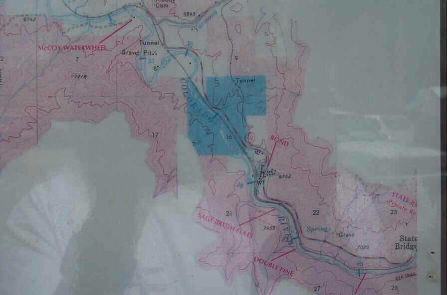
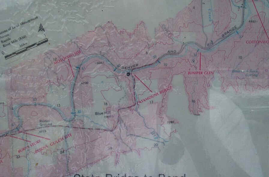
RMCC discussion about this section of river
Distance: 16.2 miles
Rating: Class I - II
Float time: 4 - 6 hours
(click on small images)

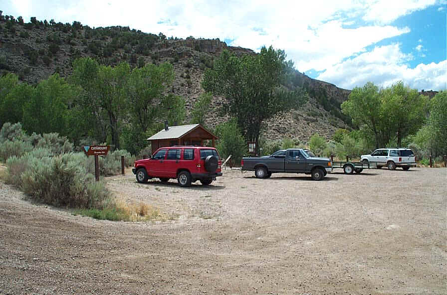
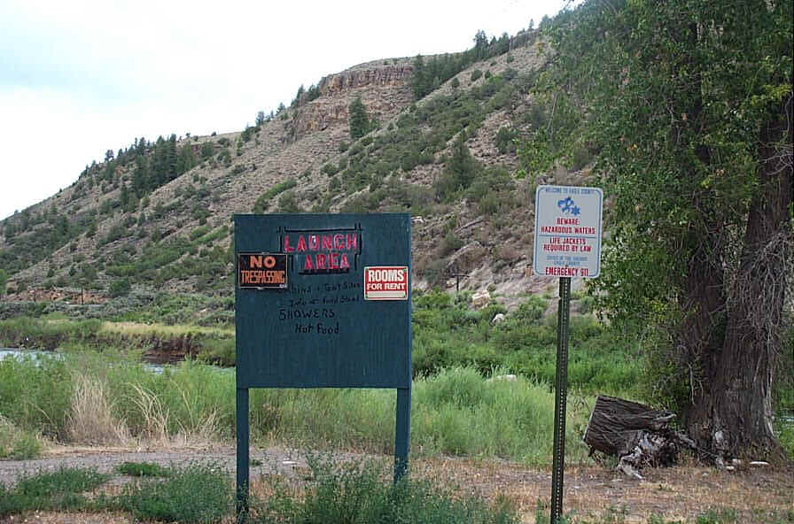
BLM sign at Catamount
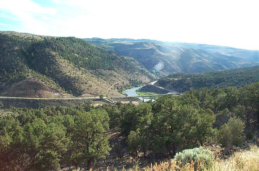
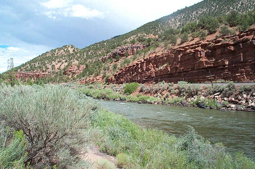
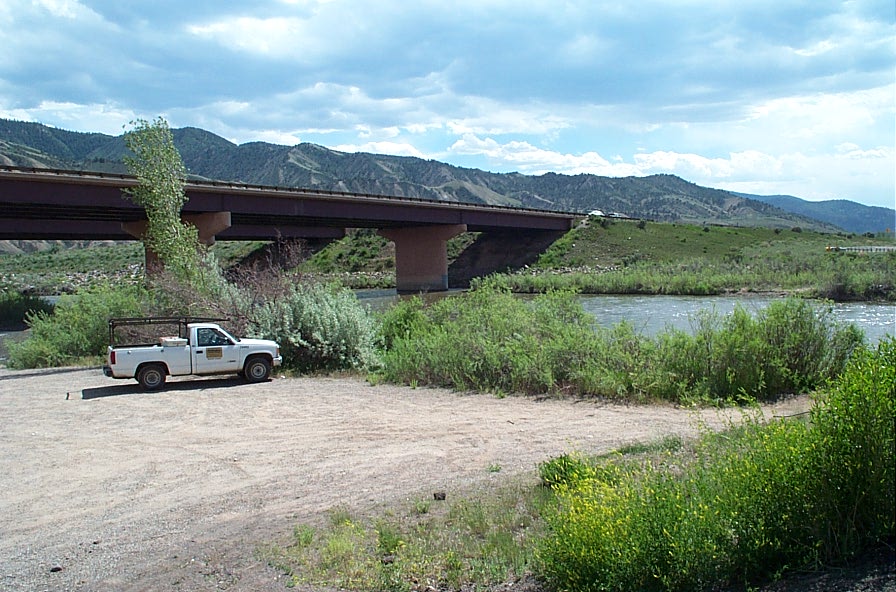
View of State Bridge (Highway 131 & Colorado River)
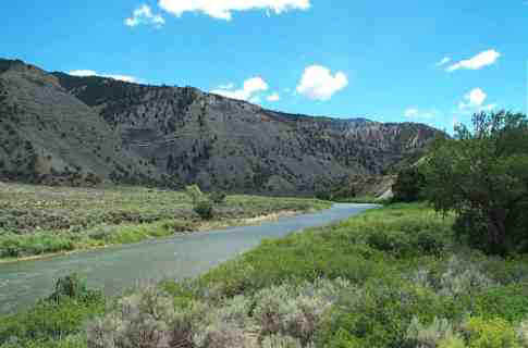
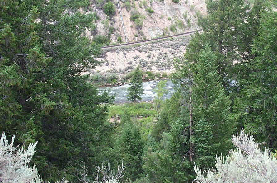
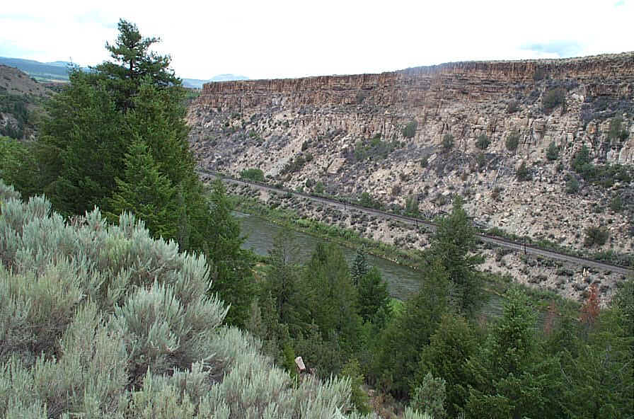
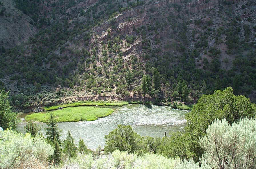
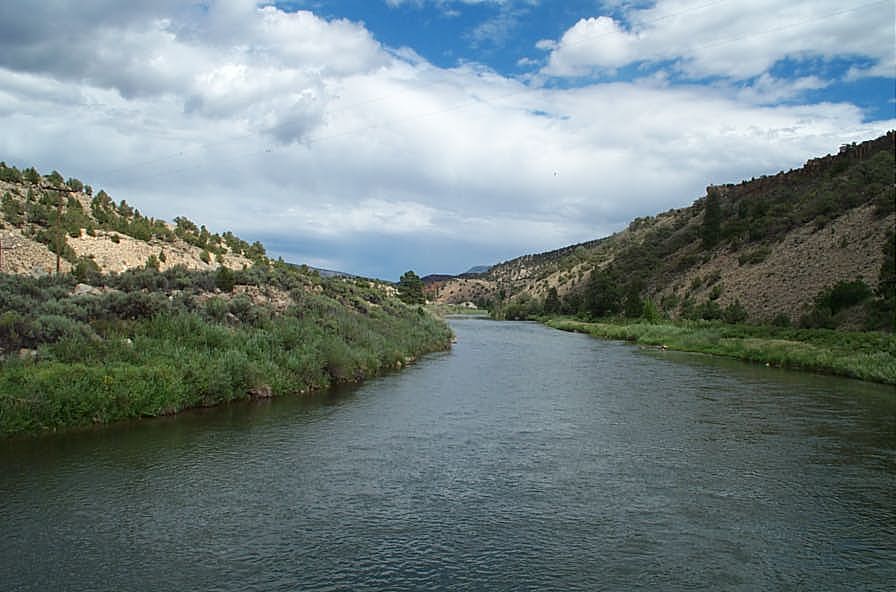
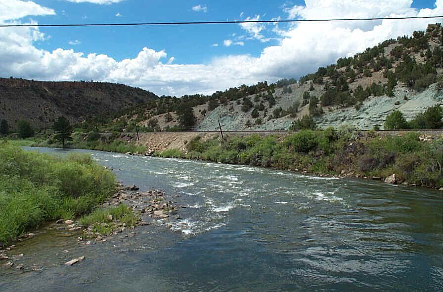
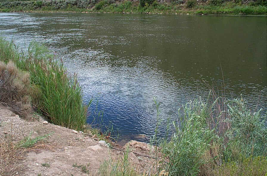
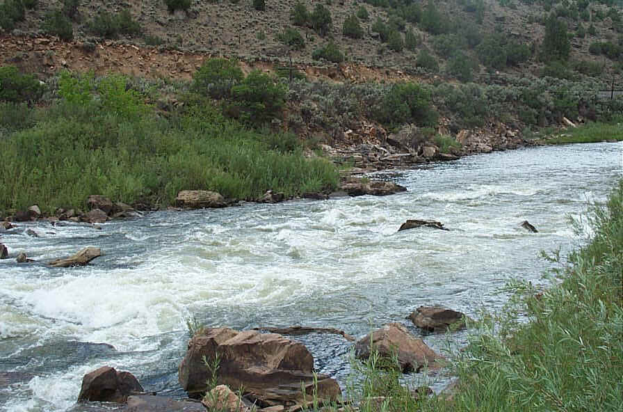
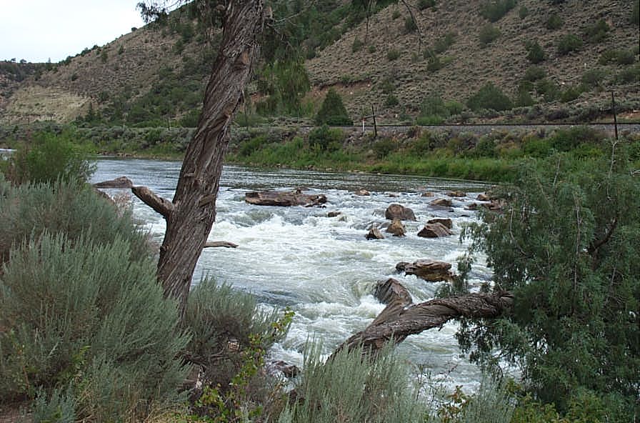
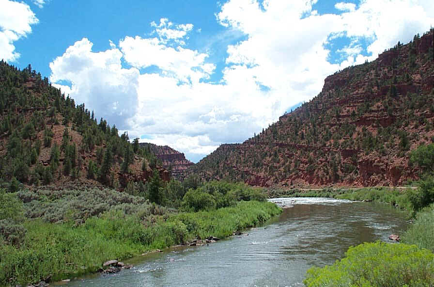
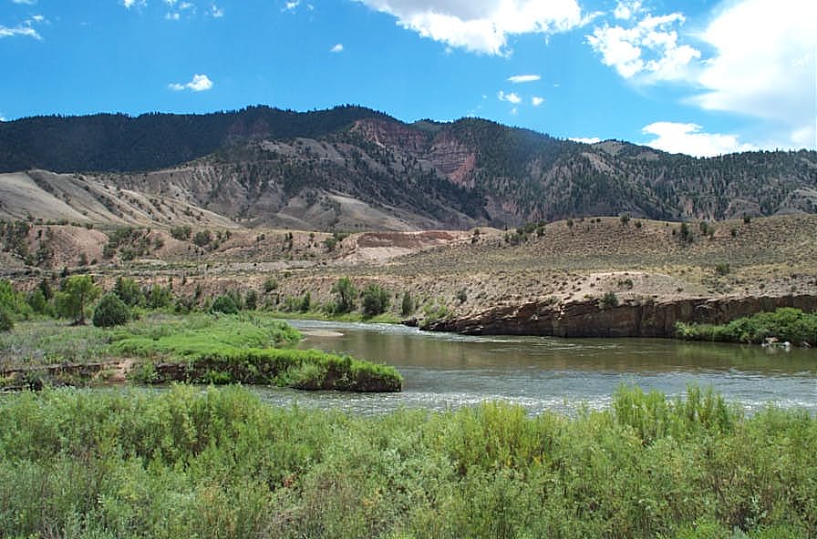
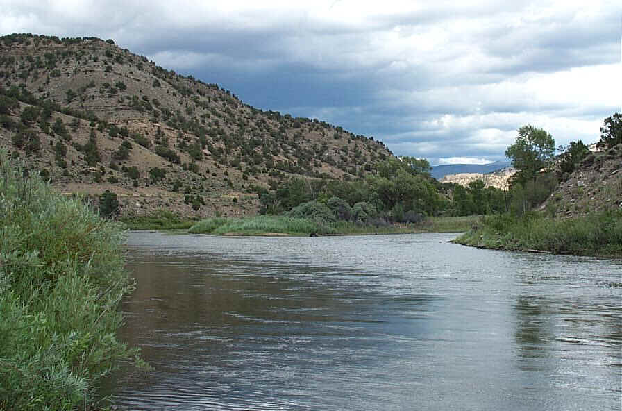
Colorado River between State Bridge and Catamount
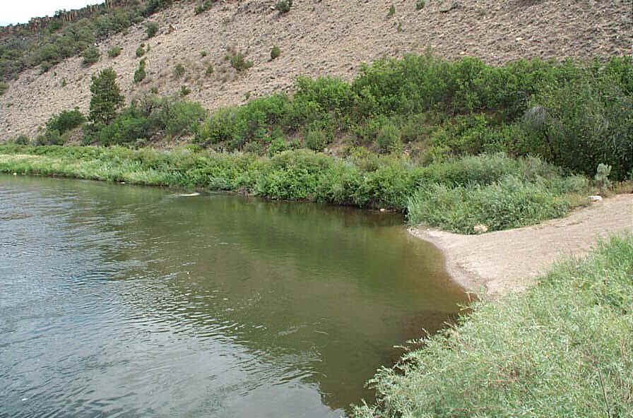
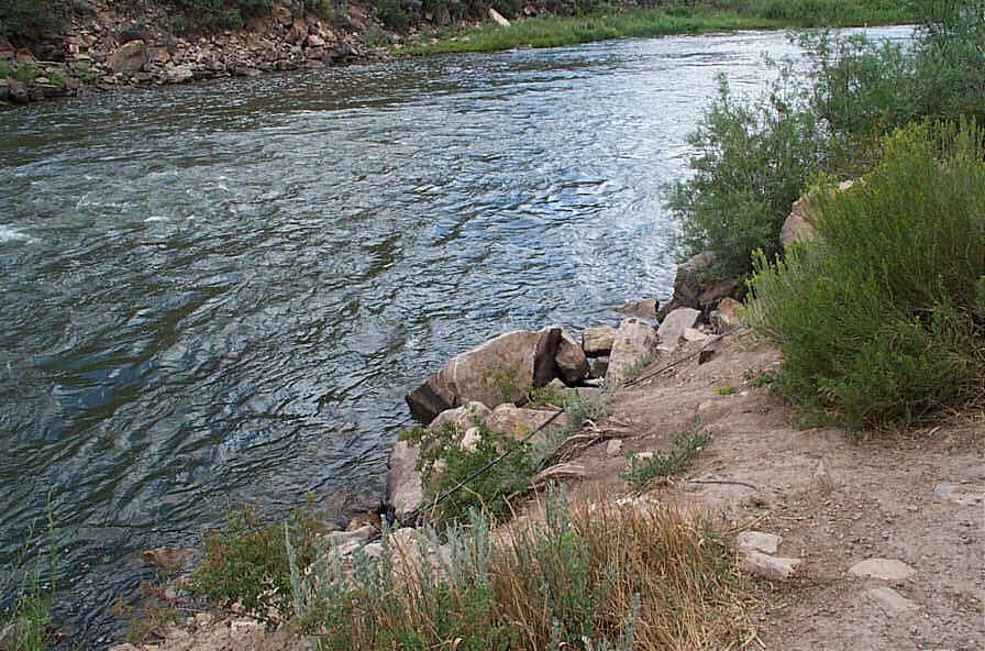
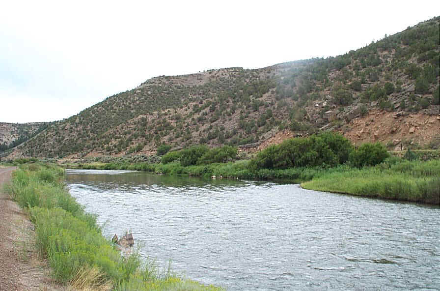
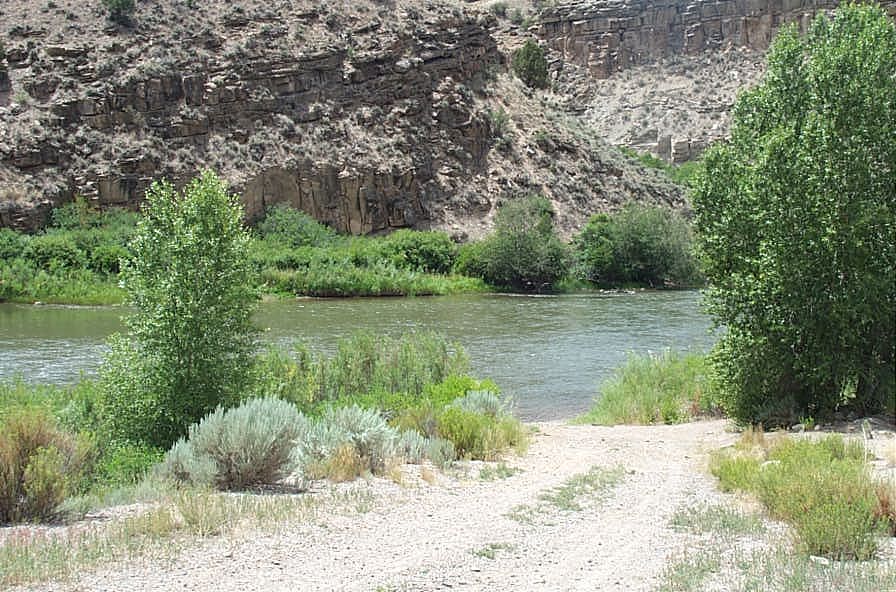
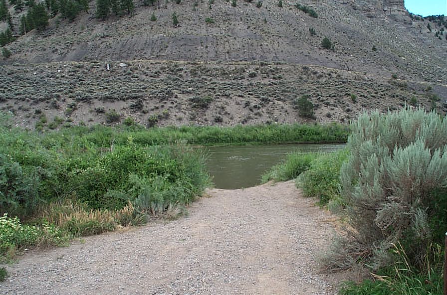
Catamount Recreation Site
Distance: 4.9 miles
Rating: Class I-II
Float time: 2 hrs
Distance: 1.5 miles
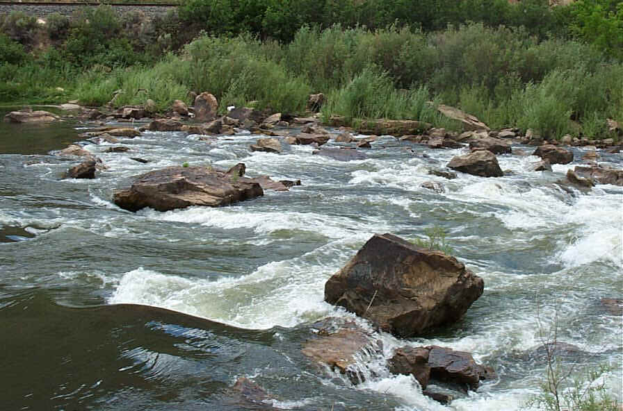
Rating: Class I-II (includes Rodeo Rapid which might be a Class III)
Float time: 2 - 3 hours
Click here for Windows Media Player 3.7MB video of Rodeo Rapid
Upstream Portage
or RUN IT !!
(some maneuvering required)
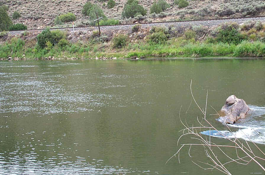
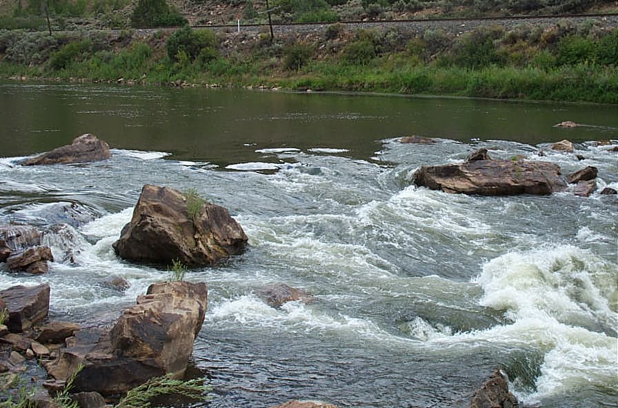
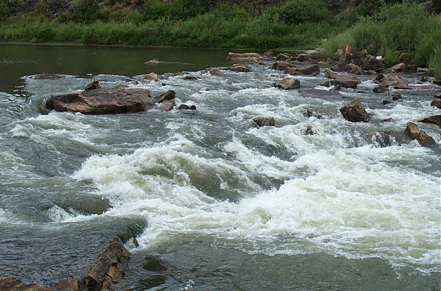
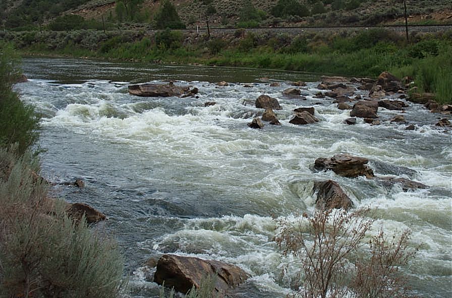
Downstream Portage
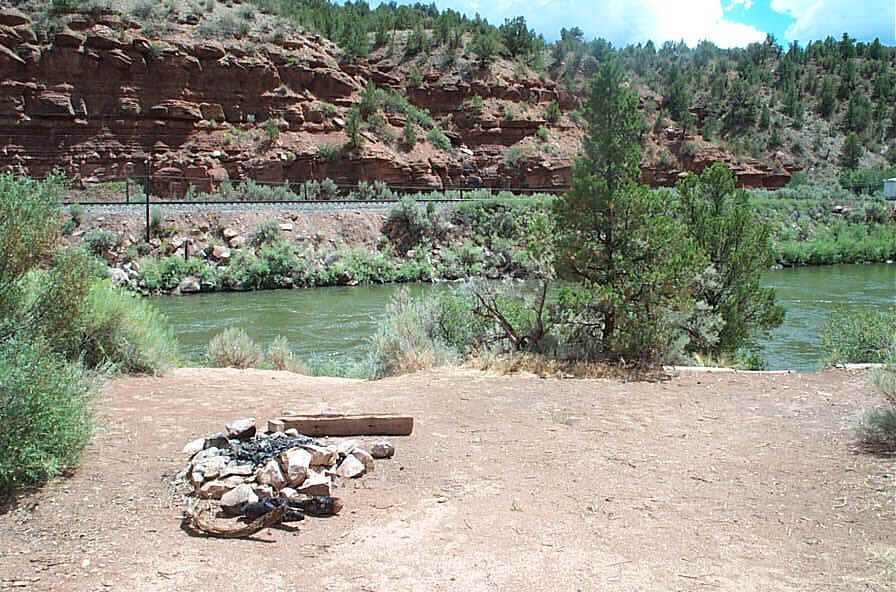
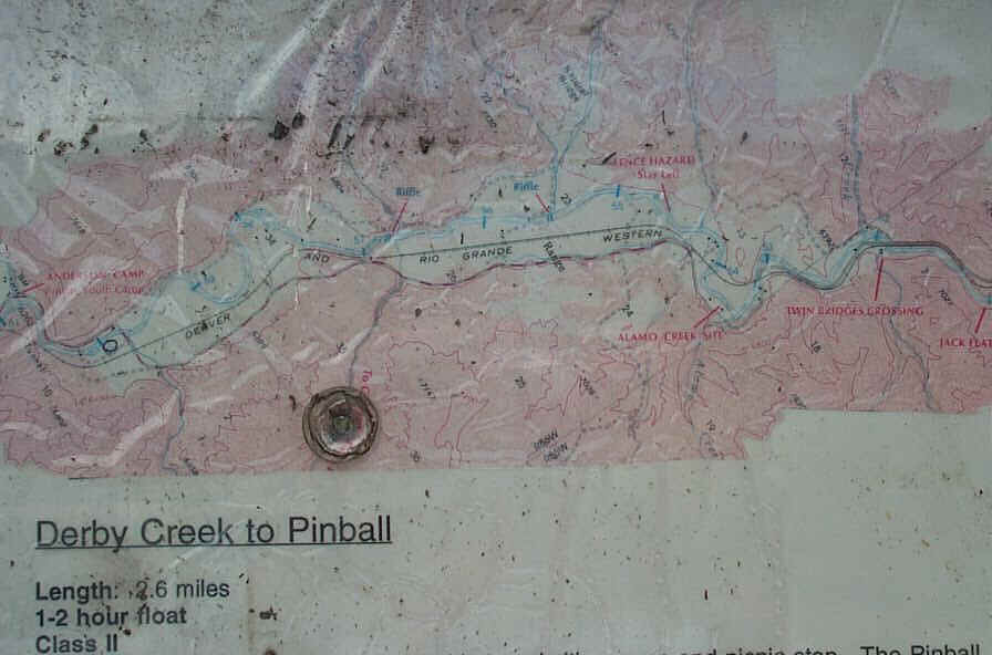
Distance: 2.6 miles
Rating: Class I-II
Float time: 1 - 2 hours
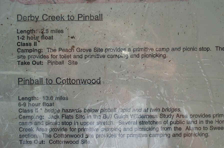
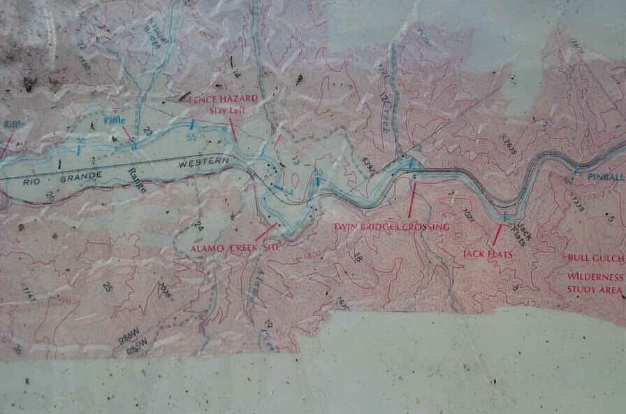
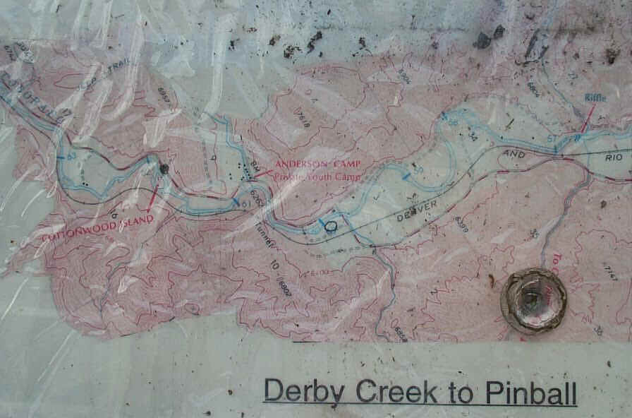
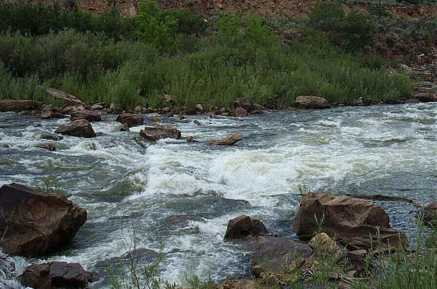
Distance: 13.8 miles
Rating: Class II
Float time: 6 - 9 hours
Click here for Windows Media Player video 4.7 MB of Pinball Rapid
Distance: 2.2 miles
Rating: Class I-II
Float time: 1 to 2 hours
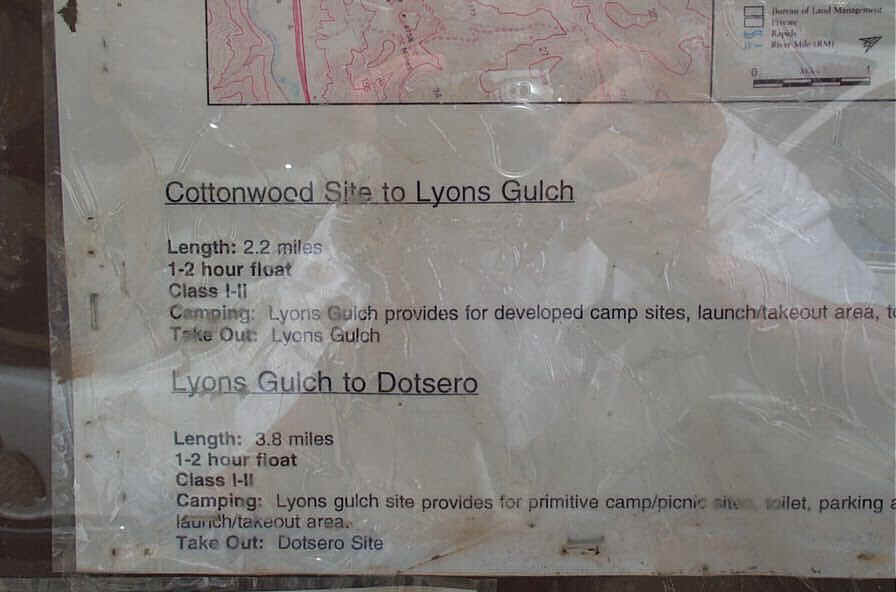
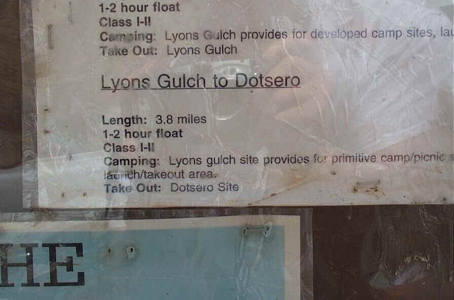
Distance: 3.8 miles
Rating: Class I-II
Float time: 1 to 2 hours
Video of new Dotsero Boat Landing