This section goes through Grand Junction. The banks are lined with trees and cliffs. There are only a few houses or buildings to be seen. The river has some nice class II riffles and at high water the waves downstream of the Fifth Street bridge can get big enough to swamp an open canoe. These waves are at times perfect surfing waves and there are plenty to choose from. The waves are present during spring runoff when the Gunnison has dropped far enough below the level of the Colorado to make enough gradient. The waves form at the confluence with the Gunnison. Start looking for the waves on river left just after the Fifth Street bridge.
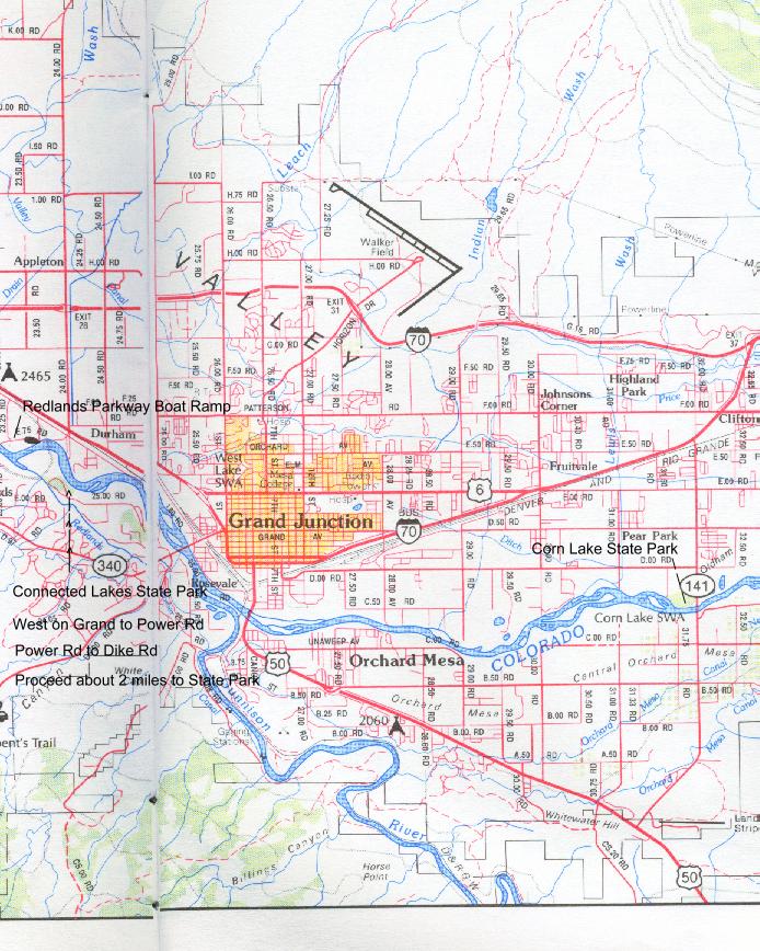
Put in at Corn Lake State Park where 32 Road, also known as Hwy 141, in Clifton crosses the river. Yes, you'll have to pay to bring a vehicle in the park, and there is no other place to park and get on the river. You can avoid paying for two vehicles by leaving one vehicle at the Park Office building and then walk to the river to pick up the other vehicle. This is the only concession we got when we protested not being able to get on the river for free as we had always done before State Parks took over management of the area.
Since you have purchased your State Parks pass for the day you could take out at Connected Lakes State Park on river left about nine miles downstream, but it's easier to continue another mile down the river and take out at the Redlands Parkway boat ramp on river right. It makes for an easier shuttle. Take Highway 6&50 (Business I-70)to the Mesa Mall at 24 Rd and exit just west of the Mall west on Redlands Parkway. About a half mile on the parkway and before the bridge you'll find the parking lot at the boat ramp.
Additional river access:At 27 1/2 Road on the north side of the river, access is available on the upstream side of the Grand Valley By-Products Company plant. This place can smell pretty bad at times and is not the prettiest place to get on the river. Grand Valley By-Products is now out of business and hopefully this area will be cleaned up for recreation use in the near future. The river distance from this launch spot to Redland Parkway boat ramp is 5.8 miles.
Another access point is at the Broadway/Grand Ave bridge. Park at the southeast corner of the bridge and river. Scrambling down 10 feet of boulders is required to get to the river under the bridge.
10 miles Corn Lake to Redlands Parkway boat ramp.
Class I/II
Trip Pictures Palisade to Westwater April 12-13, 2003
Put in at Colorado River State Park, Corn Lake
Kayaker catches a ray of sun.
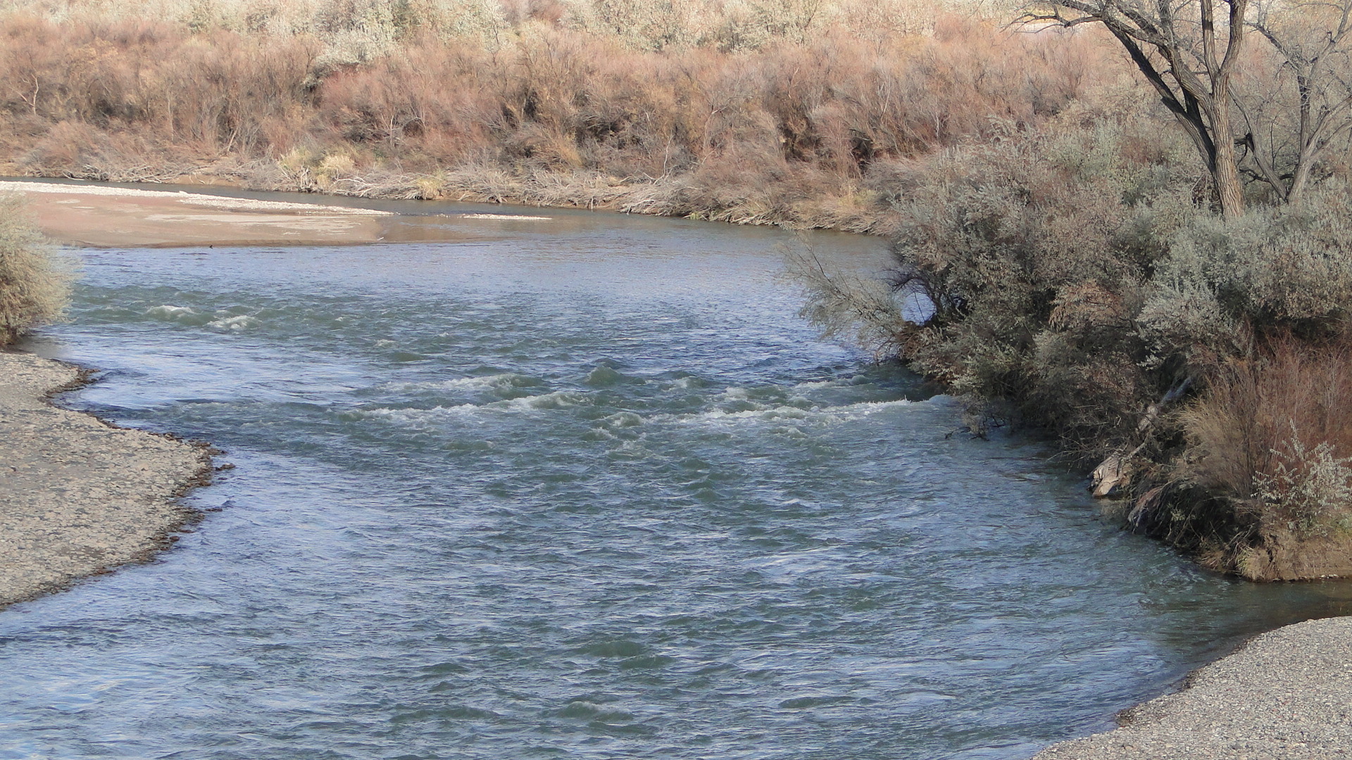
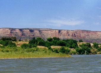
Typical Scene on this section of the Colorado
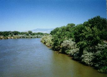
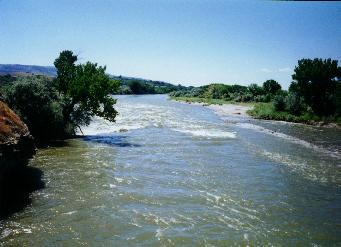
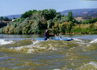
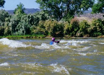
Confluence: Gunnison on the left, Colorado on the right
Gunnison meets the Colorado: Colorado 7000 cfs and Gunnison 2500 cfs in this series of pictures.
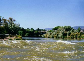
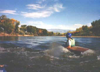
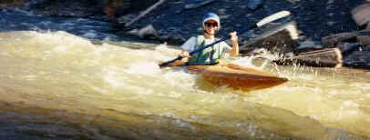
Waves at the confluence
On the waves at the confluence
In the waves at the confluence
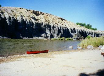
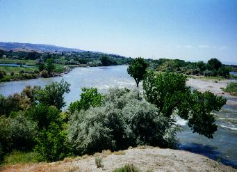
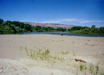
Sand Island 1.5 mile from takeout. Can you see the canoe on the beach?
Takeout scene Near the Redlands Parkway Boat Ramp.
|
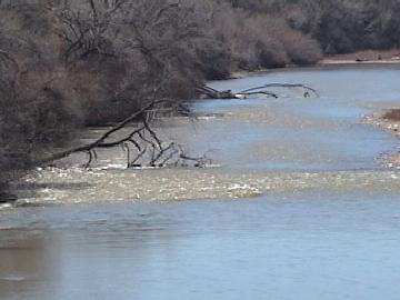
Hazard on April 4, 2002 downstream of pedestrian bridge. All current flowing into the tree.
|
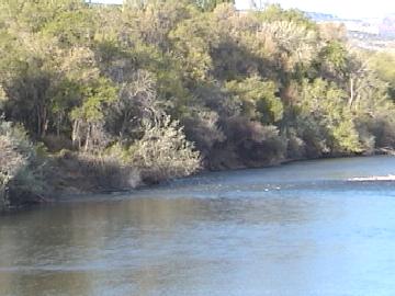
Hazard removed sometime before April 29, 2002 (date of photo)
|